Basin-Cascades/Cascade Brook Loop
Tuesday, 24-May-2016
Tags: NH / Hiking
This is not a trail guide. If you are planning to hike any of these trails refer to a real trail guide such as
(for the White Mountains) the
AMC White Mountain Guide.
We thought it would be fun to start at the Basin in Franconia Notch, and do a loop of the Basin-Cascades Trail to the Cascade Brook Trail back down to the road and finish by heading back to our starting point at the Basin. It was a nice sunny day, and amazingly it turned out to be both black fly and mosquito free.
Upon perusing the White Mountain Guide, the description of the Basin-Cascades Trail indicated that the Cascade Brook crossing could be difficult in high water (and in May, that's likely), but we thought we'd give it a try. We didn't realize that we would end up with a number of tricky crossings, the last of which we gave up on and just waded through in our boots (decided to keep on the boots for traction).
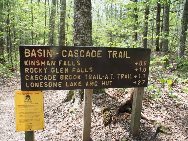
We parked at the Basin parking lot on the north side, went under the road and over the Pemi River on a footbridge to the Basin, and then started our hike along the Basin-Cascades trail a short distance beyond the Basin area, length 1 mile, elevation gain 561 feet. The trail ascends along the beautiful lower half of Cascade Brook with lots of cascades, small falls, and ledges along the way, and trail grades are mostly moderate. Kinsman Falls is at .4 miles in on the left, with a sign, where you can walk down to a good view.
Cascade along the way.
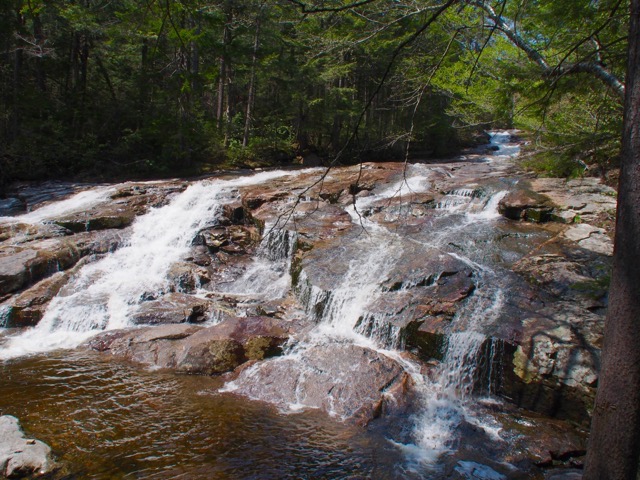
Kinsman Falls.
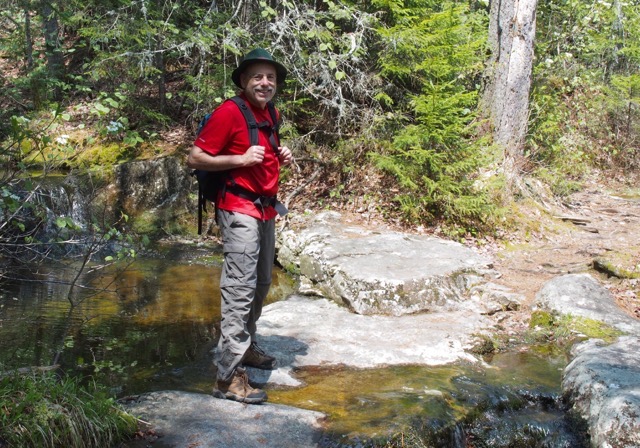
In another 150 yards was the crossing at Cascade Brook — our first (of a number as it turned out) "may be difficult in high water" crossing. As usual, Larry tested the way, and Eileen reluctantly followed (she took off her socks first just in case) but made it safely across.
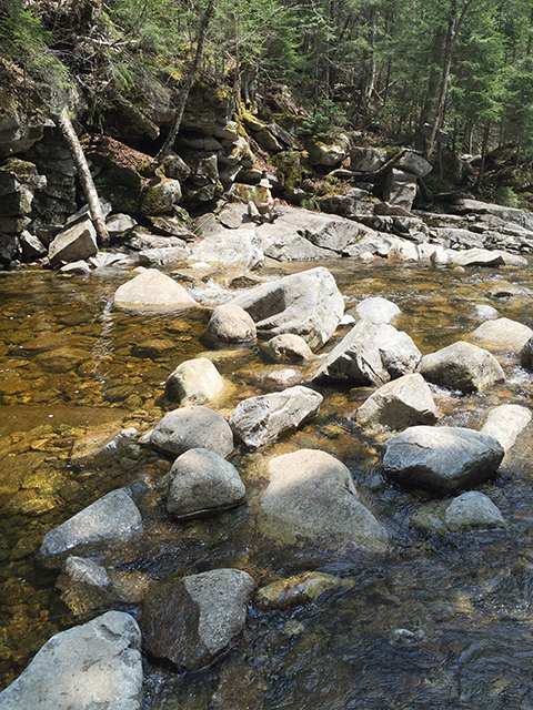
A pleasant companion on the way along the Basin-Cascades Trail.
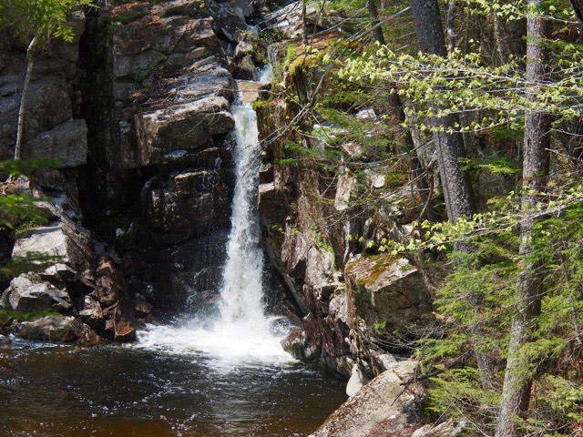
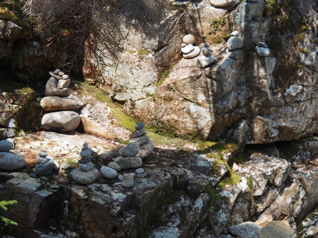
Rocky Glen Falls is at 0.9 miles. Guess people wanted to leave their mark by making cairns.
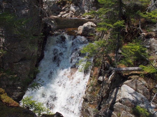
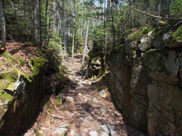
The trail then swings left through a box canyon and ends at the Cascade Brook Trail on the south bank of the brook.
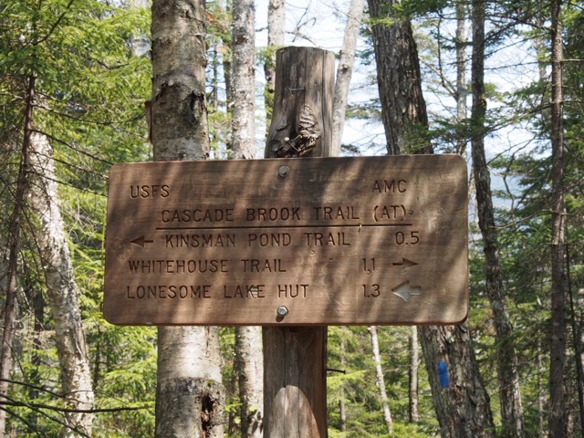
The Cascade Brook Trail is part of the AT, running from Route 3 northwest to the Lonesome Lake Hut. Our plan was to head down southeast back to Route 3, about 1.5 miles.
The footbridge across Cascade Brook washed out during Hurricane Irene in 2011. Instead of building a new footbridge, another crossing spot was chosen a few feet further along the trail.
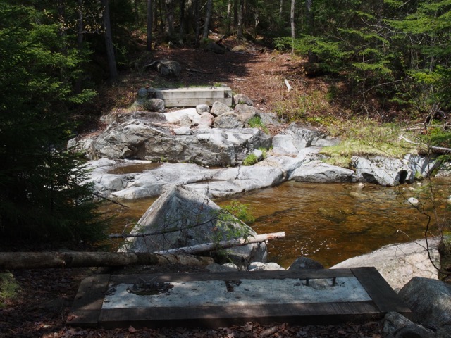
Here is the new crossing. From the AMC: “This crossing is difficult and potentially dangerous in high water.” You can see the edge of the sign in the foreground and the trail in the background. Not so easy to get to Lonesome Lake on the Appalachian Trail (AT) from this spot.
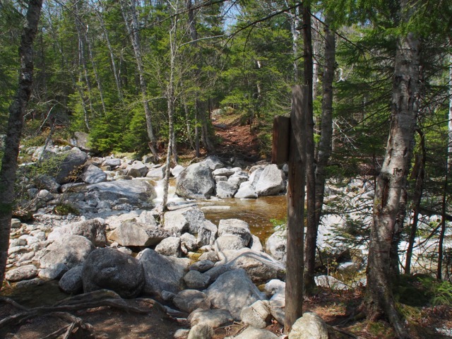
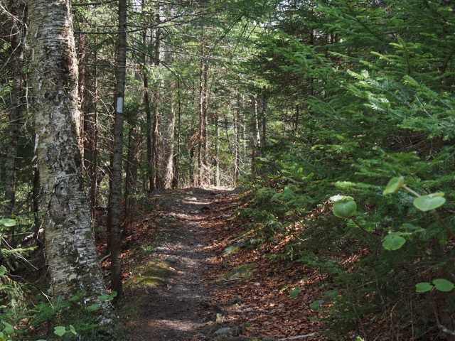
In any case, we were headed down the trail. You can see the white blaze of the AT. The trail is quite pretty, and an easy downhill with good footing.
Crossing Whitehouse Brook on the Cascade Brook Trail at about 1.1 miles down the trail. Sigh, another scary rock hop for Eileen, following the path Larry laid out.
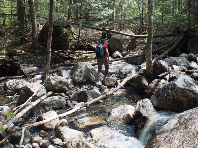
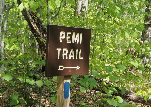
Walking down the Cascade Brook Trail, we came to an intersection with the Pemi Trail, which turns left off the trail and is an alternate way back to the Basin, rather than heading down to US 3 and walking back along the bike trail. At intersection with the Pemi Trail.
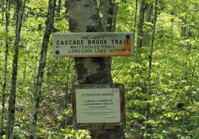
It seemed liked it would be a nice walk back along the Pemi River. Hmm, should have read the book and learned that for this 0.8 mile section, we would once again have to cross both the Whitehouse Brook and Cascade Brook (“may be difficult in high water”).
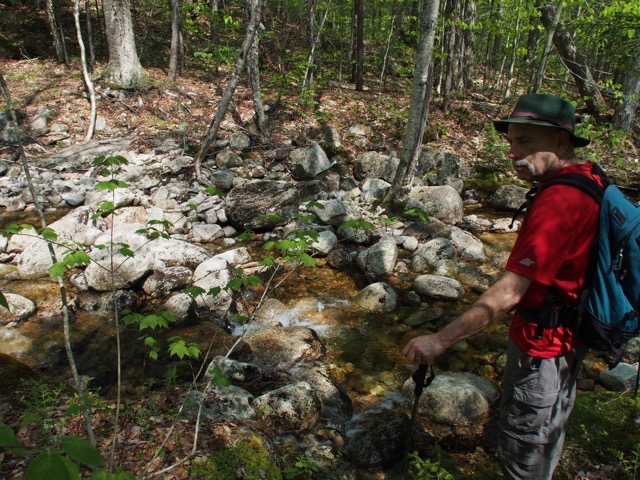
After crossing the Whitehouse Brook on the Pemi Trail.
So we don’t have a picture for the Cascade Brook crossing, because Eileen couldn’t bear taking another picture of a crossing. After fighting brush going up and down the river bank, we ended up just wading across in our boots (would have been very slippery in bare feet), squishing the last 10 minutes back.
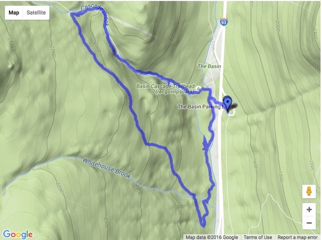
Here’s a picture of the loop. You can see the blue smudge where we walked back and forth. All in all, it was an easy and good hike, with some excitement on the crossings, on trails we had either never hiked (Cascade Brook) or hiked over 20 years ago (Basin-Cascades). But we recommend that you skip this section of the Pemi Trail, which though blazed well, zigzags and is a little hard to follow, with muddy areas and water crossings.
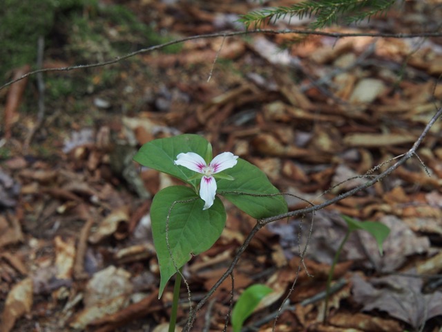
There were so many trillium and hobblebush and goldthread flowers! Here is a painted trillium.
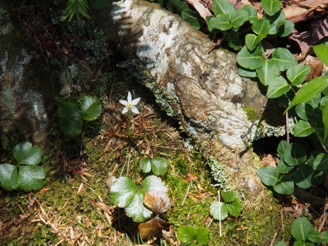
Goldthread with its evergreen three leaves.
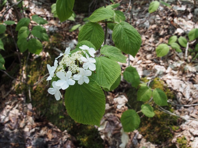
Hobblebush.
Distance: 3.10 miles
Elapsed time: 3:13 hours — we stopped a lot to look at flowers, cascades, and waterfalls, and of course, crossed those brooks.
Min Altitude: 1,452 feet
Max Altitude: 2,092 feet
--
Larry and Eileen Samberg


