Beaver Brook Trail Cascades (Kinsman Notch)
Saturday, 13-Sep-2014
Tags: NH / Hiking
This is not a trail guide. If you are planning to hike any of these trails refer to a real trail guide such as
(for the White Mountains) the
AMC White Mountain Guide.
The upper part of the hike described is steep and can be dangerous especially in wet conditions. We don’t recommend this hike if there has been a lot of recent rain, or rain forecast for day of the hike.
The Beaver Brook Trail is the section of the Appalachian Trail that runs south from NH route 112 to the summit of Mt. Moosilauke. On the other side of NH route 112, the Appalachian Trail runs north up the Kinsman Ridge Trail.
The Beaver Brook Trail leaves from a parking area on the south side of Rt. 112 about 6.2 miles from the traffic light at US route 3 in North Woodstock, just a little ways west of the entrance to the Lost River Gorge. The trail is maintained by the Dartmouth Outing Club (DOC).
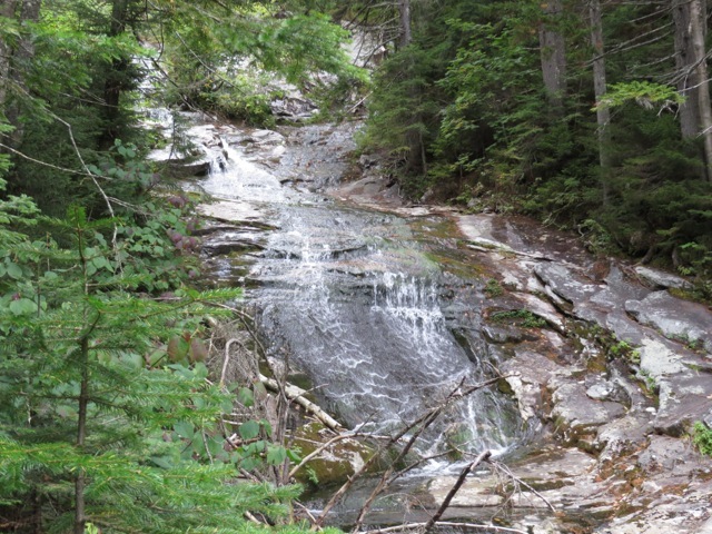
The first mile or so of the Beaver Brook Trail is along the cascading Beaver Brook. These are the best cascades that we’ve seen in New Hampshire (and this is mid-September).
When you leave the parking area and enter the woods, you immediately turn left at the sign that says “Beaver Trail”. The elevation at this point is about 1940 feet.
The first half mile of the trail is quite flat and has a couple of water crossings without bridges (which were pretty easy, at least in September) and a couple of water crossings on bridges (which were pretty serious bridges).


After the DOC sign (which is about .24 miles in) you start seeing some small cascades in Beaver Brook. At 0.55 miles is the first major cascade. The elevation at this point is about 2140 feet, so the trail has only gained about 200 feet in the first half mile.
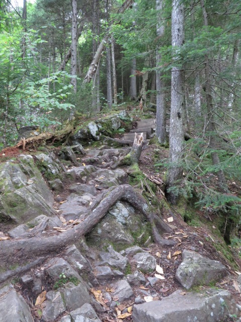
At this point the trail turns steep and stays that way for at least the next ¾ of a mile (which is as far as we hiked). But, as we hiked, there was one beautiful cascade after another.

A shot of the tricky path.

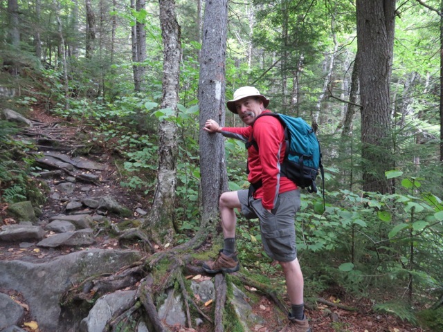
Since this is the Appalachian Trail, the blazes were the standard AT white rectangles.
The DOC did an amazing job of trail work. The steep areas had these triangular pin steps.


In several places of sheer rock, DOC placed rebar hand holds. (This one is at an elevation of about 2340 feet (about 400 feet since we started). This one scared Eileen a lot.
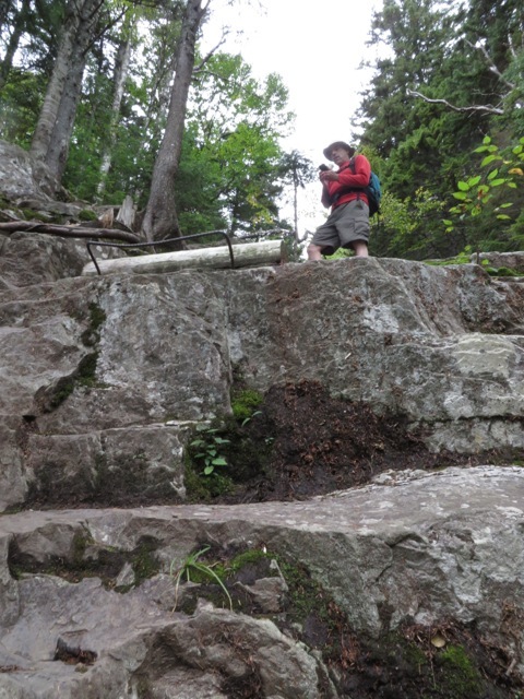


Easy steps by comparison.

This is not a trail that you want to hike when it is wet.


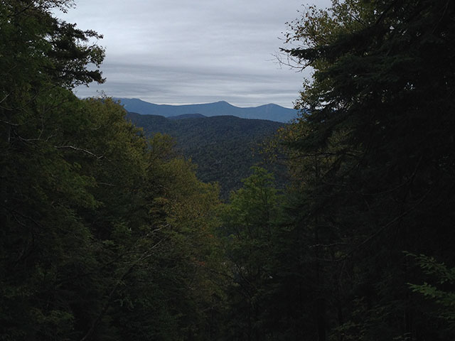
There were not many views since we were mostly in the woods, but here is a view to the east/northeast showing the Franconia Range in the distance (from right to left, Flume, Liberty, and Haystack).
Looking back down the brook.

Put link to google earth file here......
--
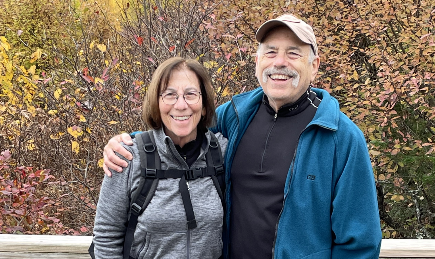
Larry and Eileen Samberg