Black Mountain (Benton, NH) - Chippewa Trail
Saturday, 02-Aug-2014
Tags: NH / Hiking / 52View
This is not a trail guide. If you are planning to hike any of these trails refer to a real trail guide such as
(for the White Mountains) the
AMC White Mountain Guide.
Sunday, 31-Jul-2022 We hiked up Black Mountain on the Chippewa Trail with Ginnie and Marc.
Black Mountain in Benton is one of at least 2 mountains with that name in New Hampshire. This one is about 20+ miles WSW of Lincoln NH which is our home base. It is on the western edge of the White Mountains in NH and the eastern edge of the Connecticut River valley. The nearest “large-ish” town is Haverhill, NH. The trailhead is also about 10 minutes from Windy Ridge Orchard for you blueberry and apple fans — I (LSS) like both, but I also like their apple cider slushies :). Black Mountain is on the list of 52 with a view in New Hampshire.
There are two trails that go to the summit: The Black Mountain Trail which is about 2.4 miles and moderate with few, if any, good views; and the Chippewa Trail which is steeper and (as you’d expect) shorter, about 1.8–1.9 miles, with several really good views. Elevation is 2830 ft, elevation gain 1550 ft. AMC book time for this trail is 1:40. We did it in about 1:30 up a few stops on the way (probably 1:20 without stops) and 1:00 down.
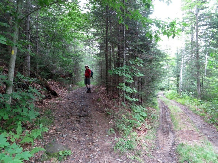
The trailhead is a couple of miles in on Lime Kiln Road which leaves NH116 a little ways past Windy Hill Orchard. Lime Kiln Road also meets NH25 to the south.

The trail descended over some new log steps, a little slippery. We then crossed a couple of tiny brooks, one rock step each.
Clintonia Borealis is called Blue-bead Lily for a good reason.

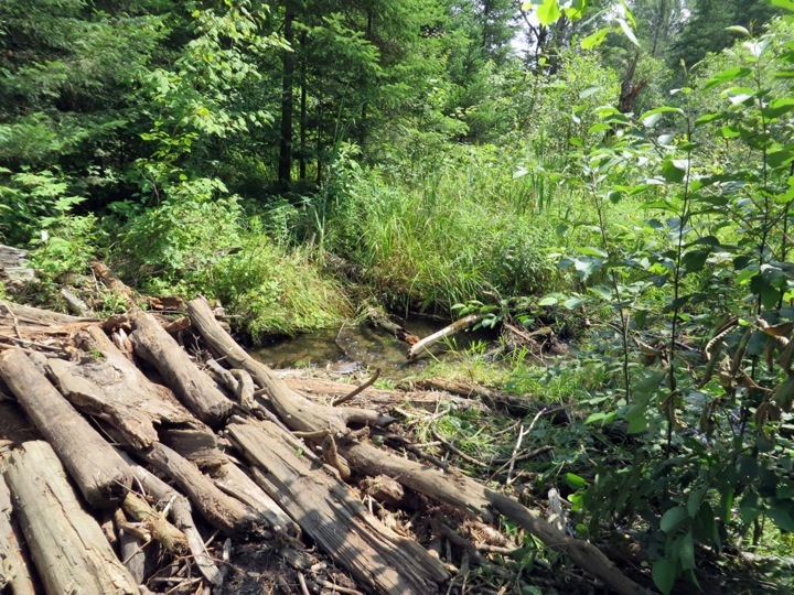
Following the trail, we skirted around a beaver dam, and crossed the water on these logs.
Always enjoy spotting Indian Pipe.

The trail came to a T at a logging road, at which point we turned right.
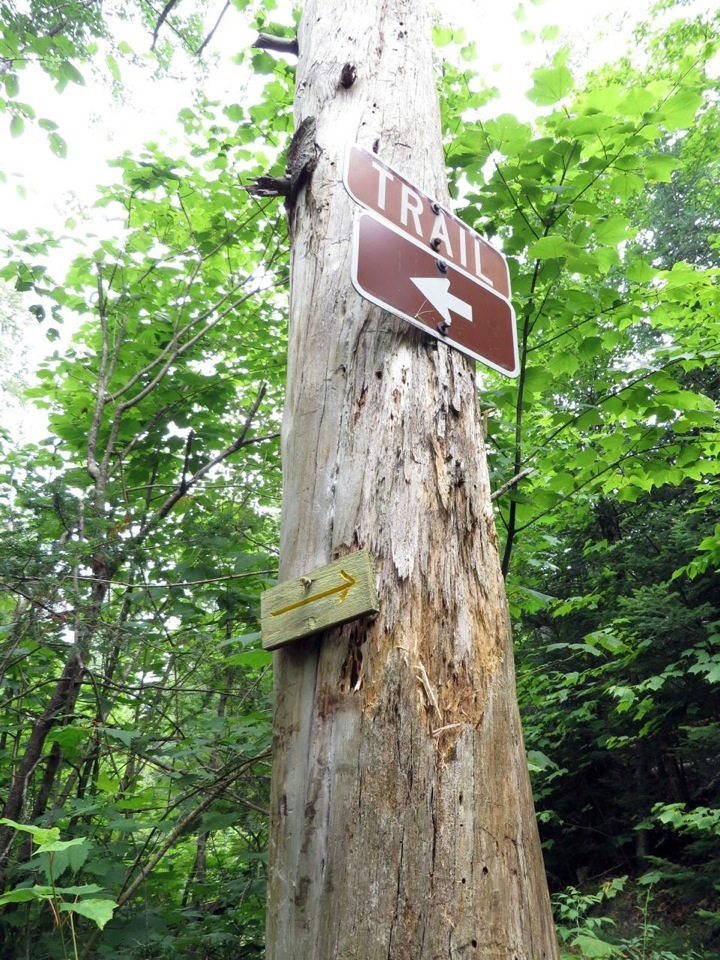
Not very far ahead, we took the trail on the left, leaving the logging road on the right.
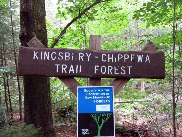
Entered an area protected by the SPNHF.
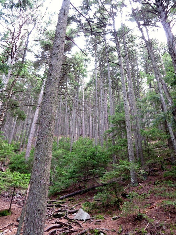
Headed into an area of tall red pines.
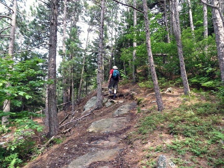
A steady up — the first half was pretty gentle, this part a steady up. After all, we needed to ascend 1550 feet.
A little rock scrambling here and there. Note the yellow blaze on the rock. Good thing the rock was dry here. Lower down it had been pretty wet, probably from springs and/or runoff from previous rains.


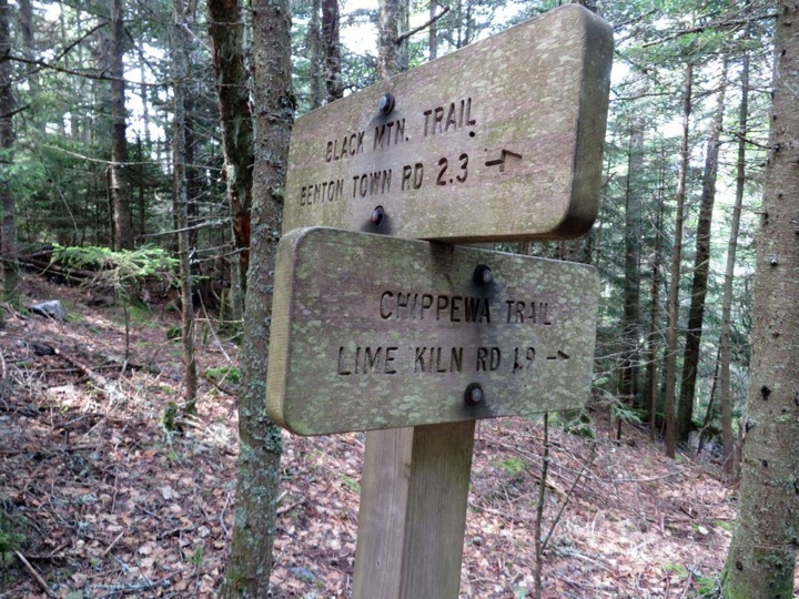
Just before the summit, we met the Black Mountain trail.
Nice views, but not clear enough for good photos. Here is Moosilauke in the clouds, looking south and east.

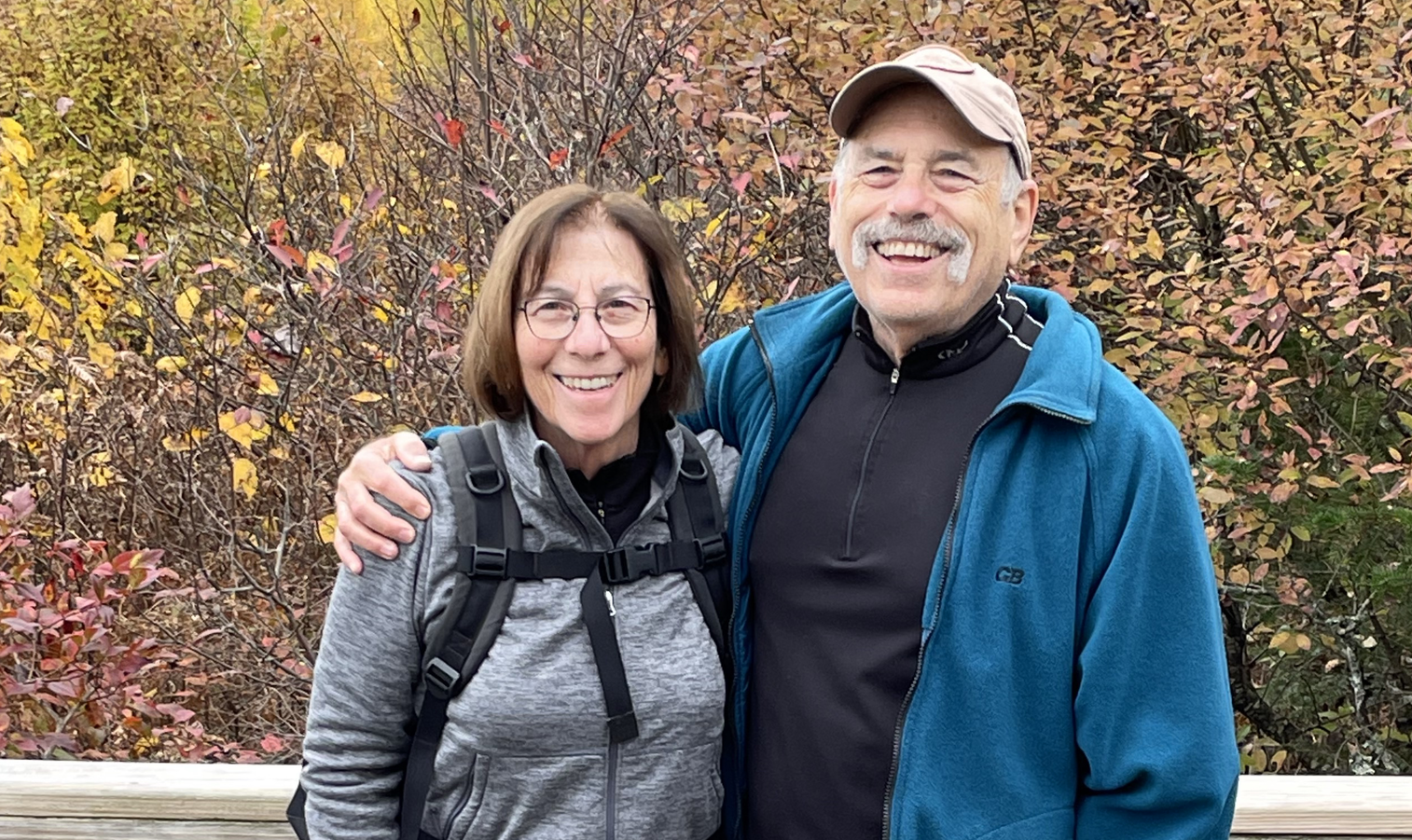
A timer selfie.

Looking west over the Connecticut River Valley.

Looking west over the Connecticut River Valley, from the west side of the summit.

Quartzite rock, we think this is called. Beautiful.

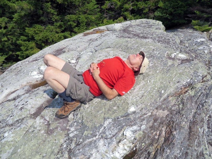
Larry relaxing on the west side of the summit.
Back to the main part of the summit, looking east toward Mt. Wolf and the Kinsman Range.

Here is Google Earth View (add this).
Other posts that refer to this post:
--
Larry and Eileen Samberg