Coppermine Trail and Bridal Veil Falls
Sunday, 25-Sep-2016
Tags: NH / Hiking
This is not a trail guide. If you are planning to hike any of these trails refer to a real trail guide such as
(for the White Mountains) the
AMC White Mountain Guide.
Thursday, 17-Oct-2024 Hiked up the Coppermine trail a bit and explored some of the x-c and side trails.
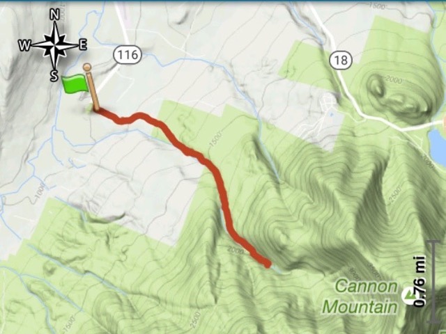
The Coppermine Trail, which leads to Bridal Veil Falls, is one of our favorite relaxing hikes. It’s mostly easy grades with a few moderate sections, alongside Coppermine Brook for most of the hike, has a special attraction, and a nice waterfall, cascade, and slide at the end. The hike is 2.5 miles, with a mild 1100 feet of elevation, about an hour and a half one way at the most. Interestingly, this hike is on the “backside” of Cannon mountain (see map at end).
The trail begins on Coppermine Road, on the east side of NH 116, about a mile south of Franconia Airport. The parking area is just after the turn into the road (elev. 1018 feet).
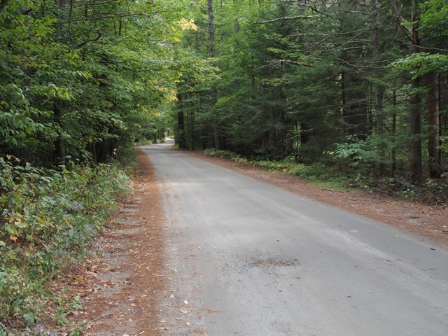
The first 0.4 miles is along the road, first paved, then gravel. Beechwood Lane, a development, is on the left as you walk.
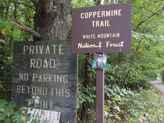
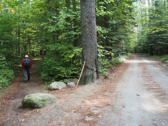
At 0.4 miles, the trail bears left off Coppermine Road — note the hiker sign.
At about 1 mile in, a cross country ski trail diverges left, and Coppermine Brook meets up with the trail on the right.
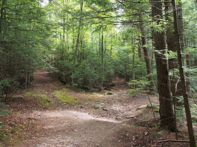
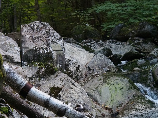
There is an large soft area near the brook that seems popular with campers, whether legal or not. But more importantly, it’s the spot of The Plaque.
From
Steve Smith: "About a mile in, where the trail first comes by Coppermine Brook, is the plaque the actress Bette Davis had placed on a rock in the stream, in memory of her husband Arthur Farnsworth. Davis visited Sugar Hill often, and in 1941 she premiered her movie "The Big Lie" in nearby Littleton. She met Farnsworth at Peckett's, the inn where she was staying, and, the story goes, intentionally got lost on this trail so he would come looking for her. Romance blossomed, they were married, but he died a few years later from head injuries sustained in a fall. She had the plaque placed here many years after that."
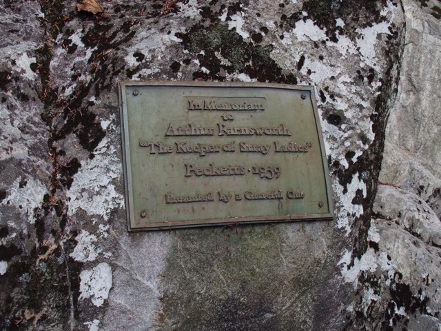
In Memoriam to Arthur Farnsworth “The Keeper of Stray Ladies” Pecketts - 1939
Presented by a Grateful One
The trail continues on the north side of the babbling brook, sometimes very close, sometimes a little further away, but always leaving the hiker with a sense of peace.
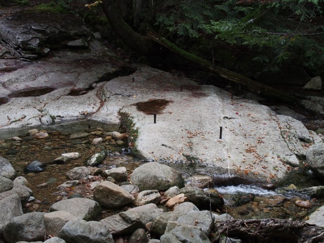
A few tenths of a mile further, there are some iron pins that may have been part of a bridge at some point.
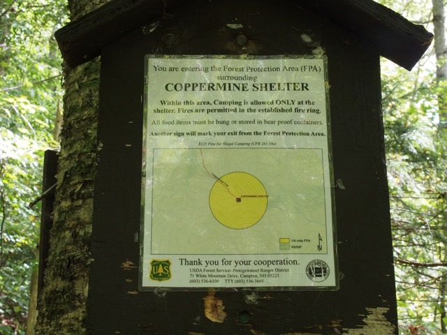
This sign indicates that we are a quarter mile from the shelter. It’s fairly standard that camping is not allowed within 1/4 mile of established campsites and shelters.
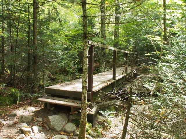
At 2.3 miles, there is a bridge. The trail crosses to the south side of the brook and turns left.
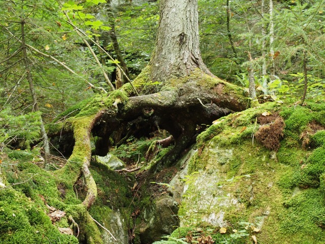
Near the shelter, we spied this tree determined to survive.
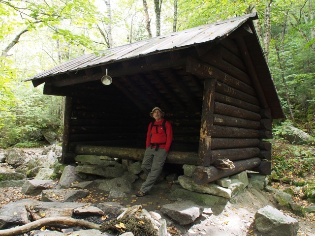
The Coppermine Shelter is about 0.1 mile from the waterfall (elev. 2014 feet).
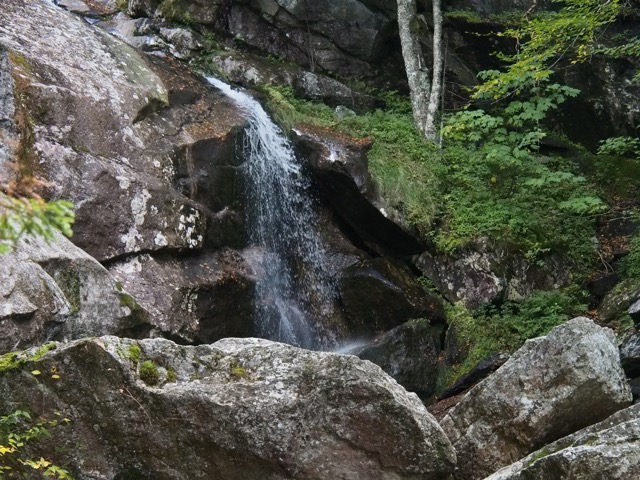
At the waterfall and slide (elev. 2050 feet). We have seen people do the slide in the summer when it is warmer and the water is higher.
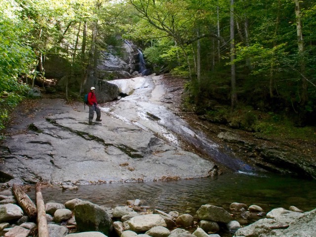
The waterfall, still nice even though it’s September in a dry year.
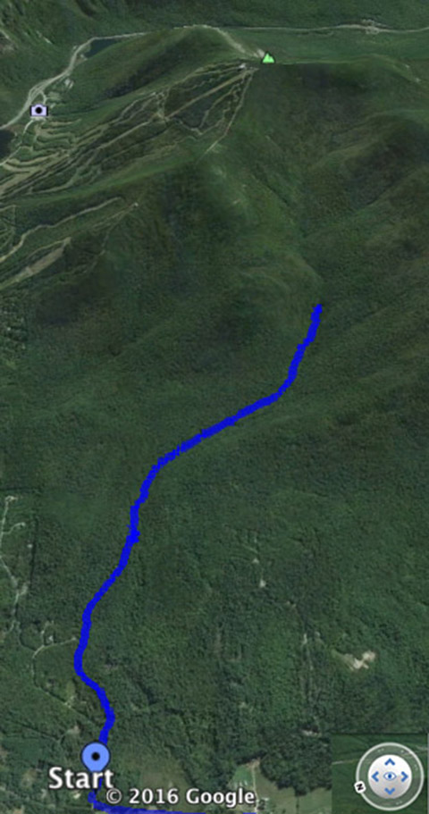
The hike. The second map shows the trail in relation to the ski area.
--
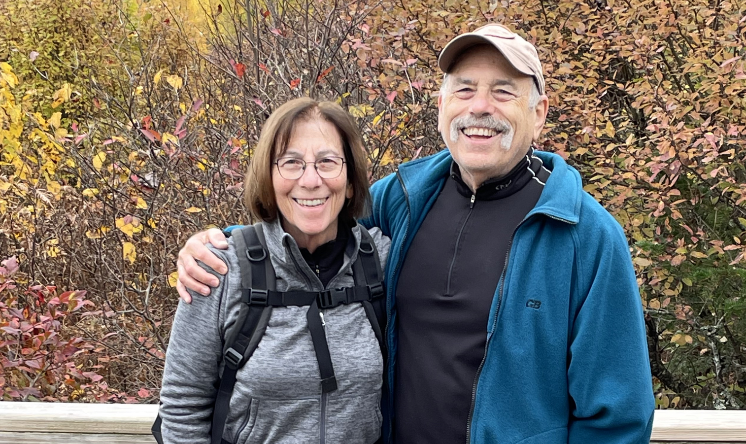
Larry and Eileen Samberg