Goodrich Rock
Friday, 19-May-2023
Tags: NH / Hiking
This is not a trail guide. If you are planning to hike any of these trails refer to a real trail guide such as
(for the White Mountains) the
AMC White Mountain Guide.
Definition: A glacial erratic is glacially deposited rock differing from the type of rock native to the area in which it rests. Erratics, which take their name from the Latin word errare ("to wander"), are carried by glacial ice, often over distances of hundreds of miles. Erratics can range in size from pebbles to large boulders such as Big Rock (16,500 tonnes or 18,200 short tons) in Alberta. – Wikipedia
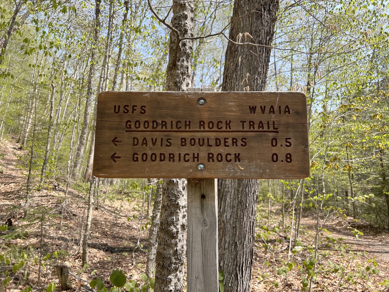
The Goodrich Rock Trail passes through prominent glacial erratics known as the Davis Boulders, and ends at the Goodrich Rock, one of the largest glacial erratics in New Hampshire. Brothers Arthur and Charles Goodrich discovered the rock in the late1890s. The Davis Boulders are named by J.W. Davis, who noted the large collection of glacial erratics leading up to the rock.
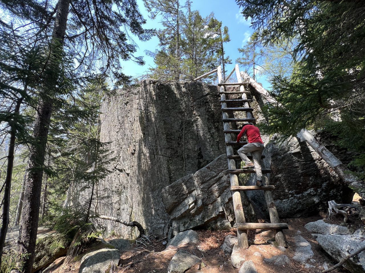
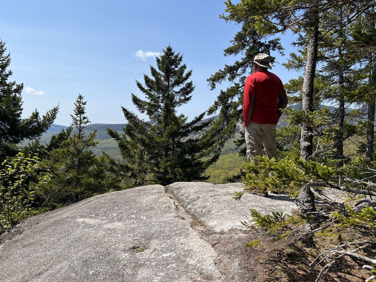
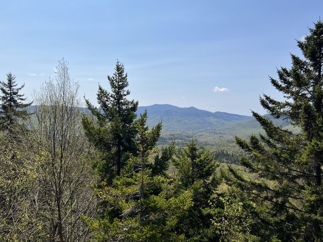
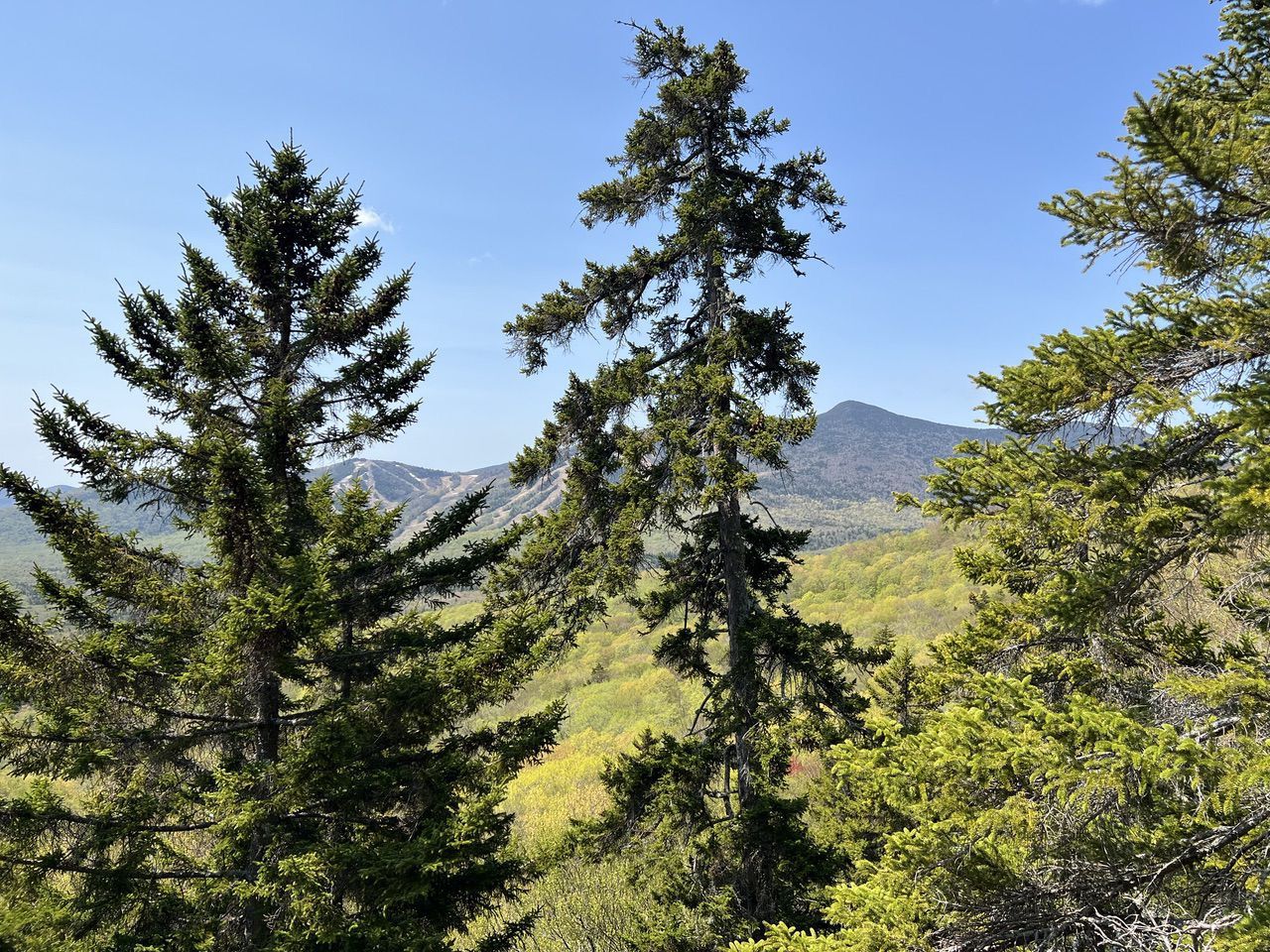
The WVAIA (Waterville Valley Athletic and Improvement Association) installed a twenty-foot ladder for climbing to the top of Goodrich Rock, giving hikers a view of the Sandwich Mountain area and Mt. Tecumseh (with Waterville Valley Ski Area).
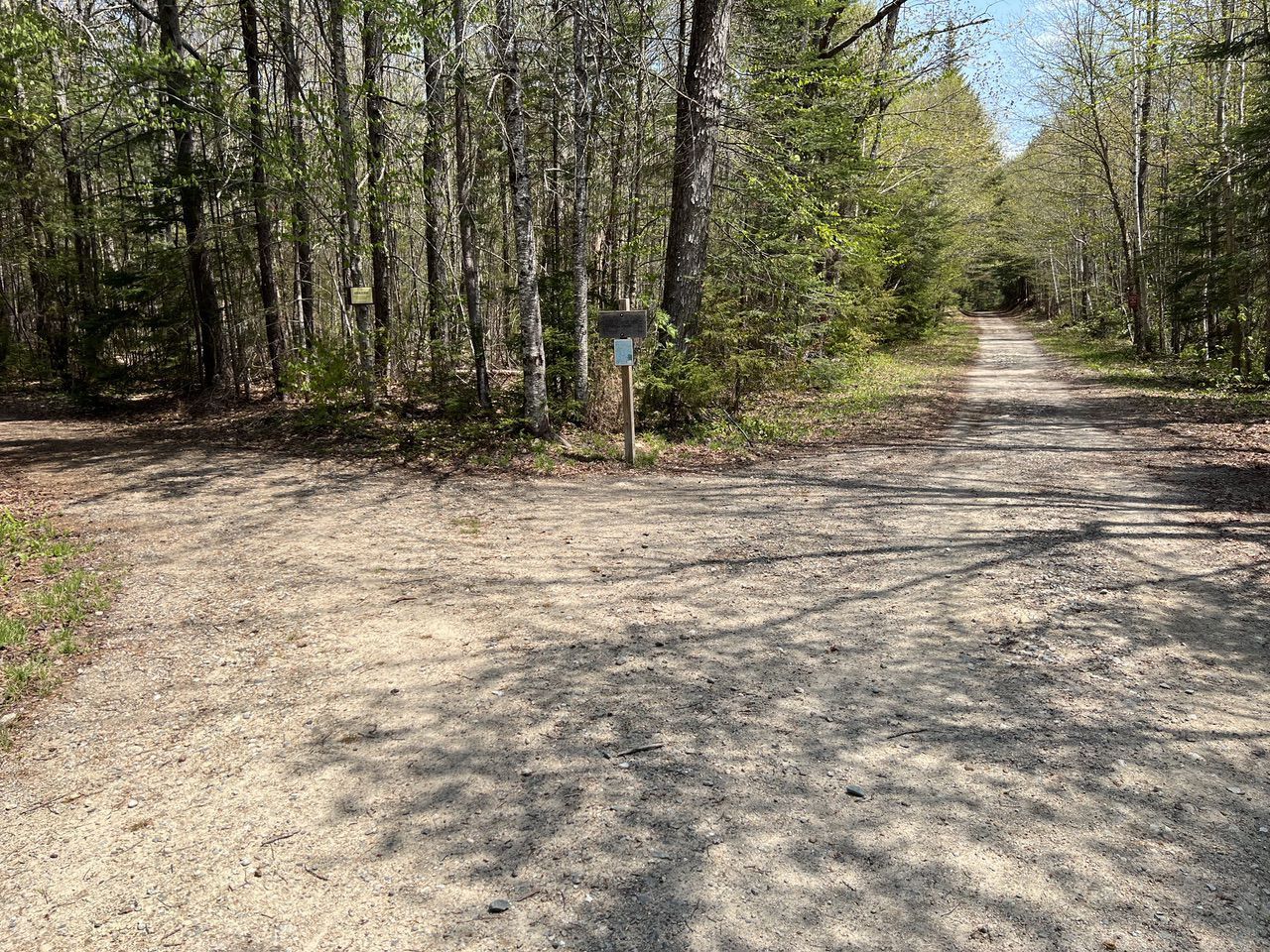
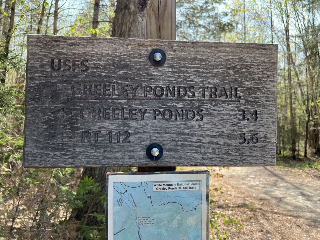
The hike to Goodrich Rock is 2 miles each way and well blazed in yellow. We started at the Depot parking area in Waterville Valley ($5 day use fee or other US Park Service or National Forest pass). The first 1.25 miles (consisting of 0.35 miles east on Livermore Road and 0.9 miles north on the Greeley Ponds Trail) is almost completely flat gaining only 150 feet of elevation (1572 ft to 1724 feet).
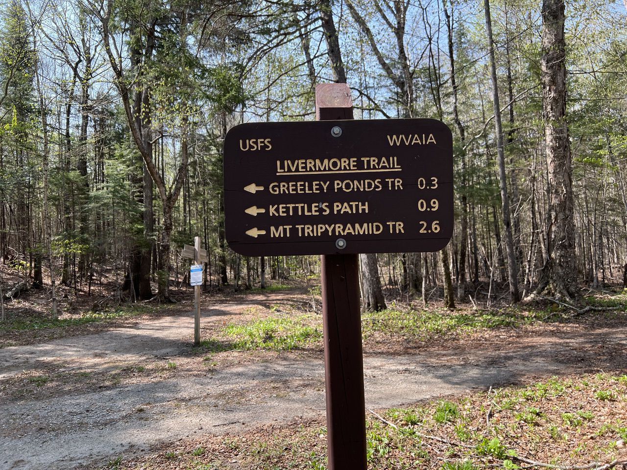
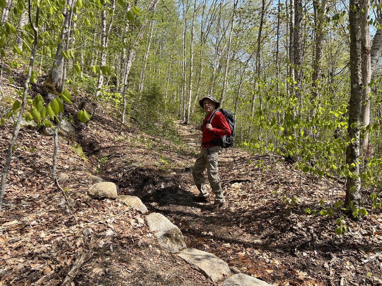
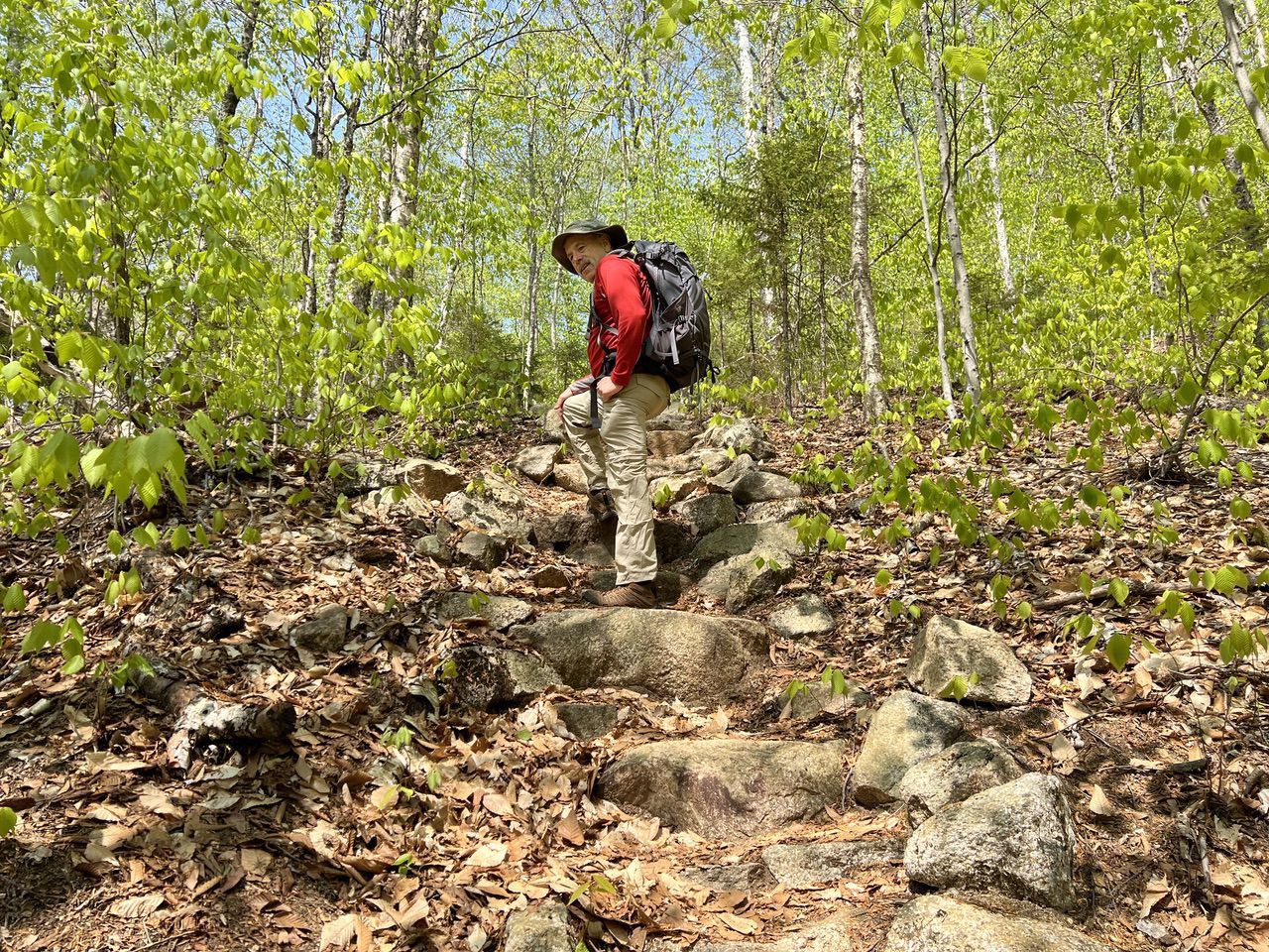
At the 1.25 mile point, the Goodrich Rock Trail leaves the left side of the Greeley Ponds Trail and starts climbing. The climbs ends with a set of rock stairs. The top of the stairs is at 1.5 miles and an elevation of 1966 feet. So it is roughly a 20% grade (1000 feet per mile). This is steep. But only for about 1500 feet of walking.
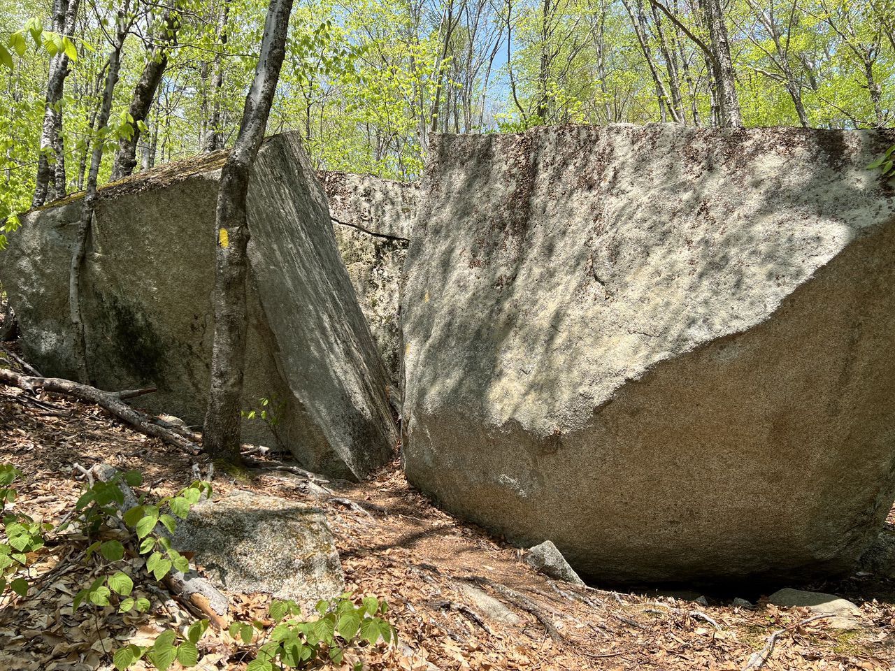
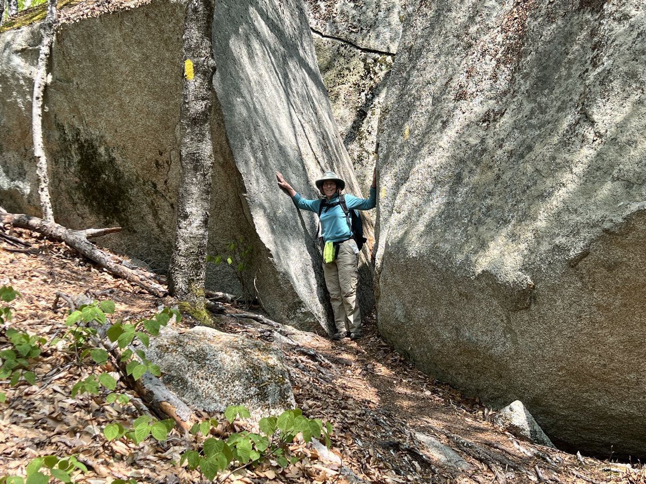
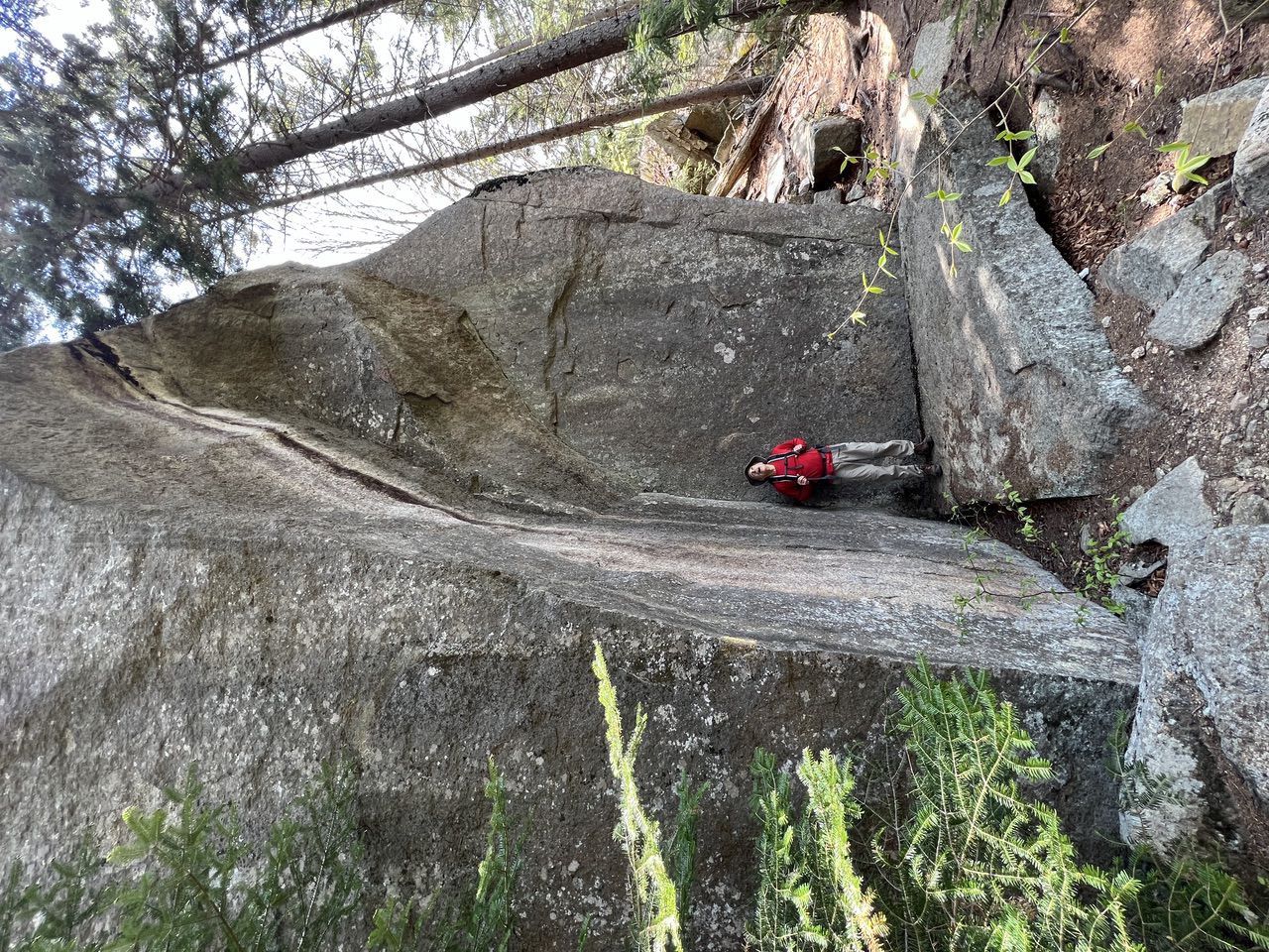
At the top of the rock stairs, the trail levels out and we entered the Davis Boulders area. This is several hundred feet of walking in and around huge glacial erratics. These are REALLY BIG ROCKS – and it was hard to believe that we weren't at the big one yet. The trail goes through a crack in one of these rocks (the lemon squeeze) making a 90% turn half way through. One of the boulders looked like the bow of an ocean liner. The trail through this area goes up and down a bit and in and out of the boulders.
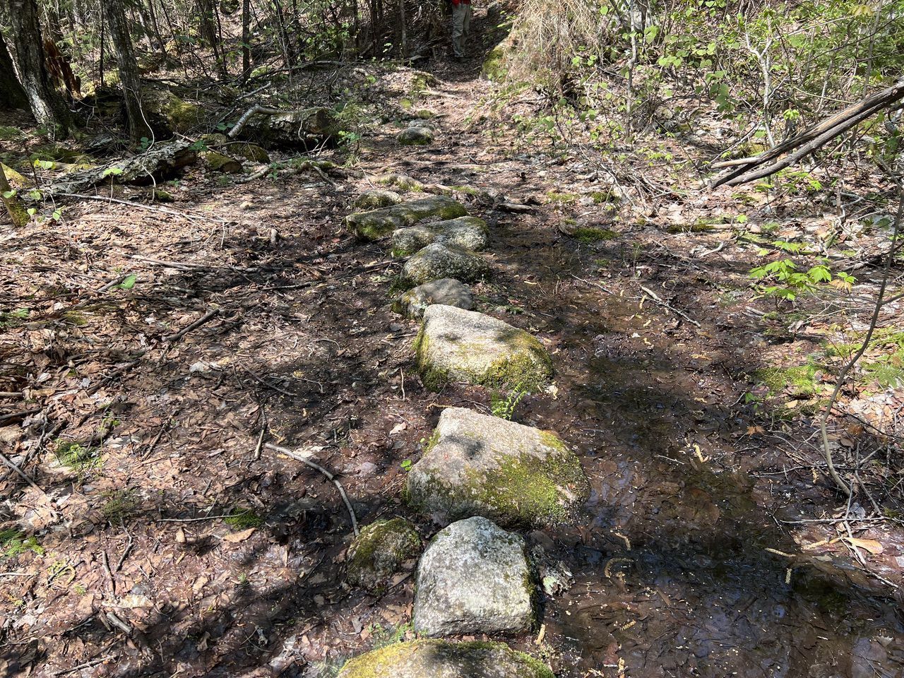
At 1.8 miles, the trail crosses a wet, "mucky" area but there are stepping stones that make it pretty easy.
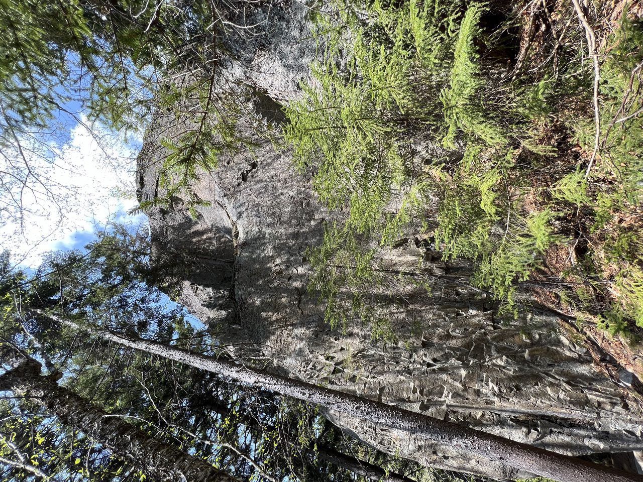
Finally at just around the 2 mile point, Goodrich Rock appears – and yes, it is big.
The trail winds clockwise around the rock about 200° and ends at a wooden ladder to the top of the rock. We climbed the ladder and got to the top in about an hour and 20 minutes, which included lots of photo stops and bird listening. The top was at an elevation of 2320 feet (which included climbing about 20 feet up the ladder).
There are views of the Waterville Valley area to the south including the ski area (Mt. Tecumseh), Mt. Osceola, Jennings Peak and Sandwich Mountain.
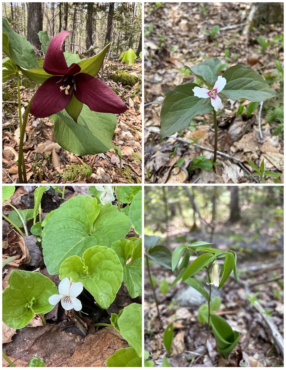
A collage of just some of the flowers we saw: Red Trillium, Painted Trillium, Small White Violet, Sessile Bellwort.
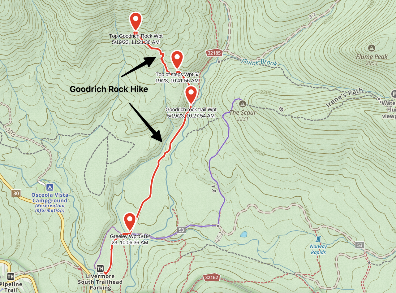
The track.
This is a fun hike – 4 miles round trip. Other than the one steep area the rest was pretty easy, and the steep area was pretty easy on the descent. The whole trip was about 3.5 hours which included lots of photo stops, time sitting up on the rock, and some time eating a snack. If you were pushing just a little, it could done in an hour each way.
--
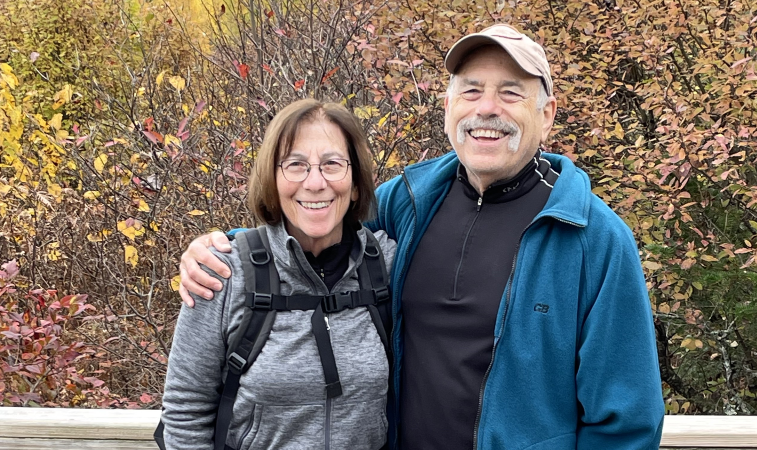
Larry and Eileen Samberg