Mt. Kearsage
Friday, 16-Jun-2023
Tags: NH / Hiking / 52View
This is not a trail guide. If you are planning to hike any of these trails refer to a real trail guide such as
(for the White Mountains) the
AMC White Mountain Guide.
New Hampshire has two mountains named Kearsage and to increase the confusion, they are both on the NH 52 With A View list. Our hike on this partly sunny and comfortable day was the more southerly one in the direction of Sunapee. The other one is commonly referred to as Kearsage North and is in Intervale a bit north of Conway.
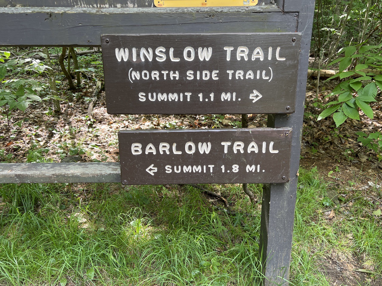
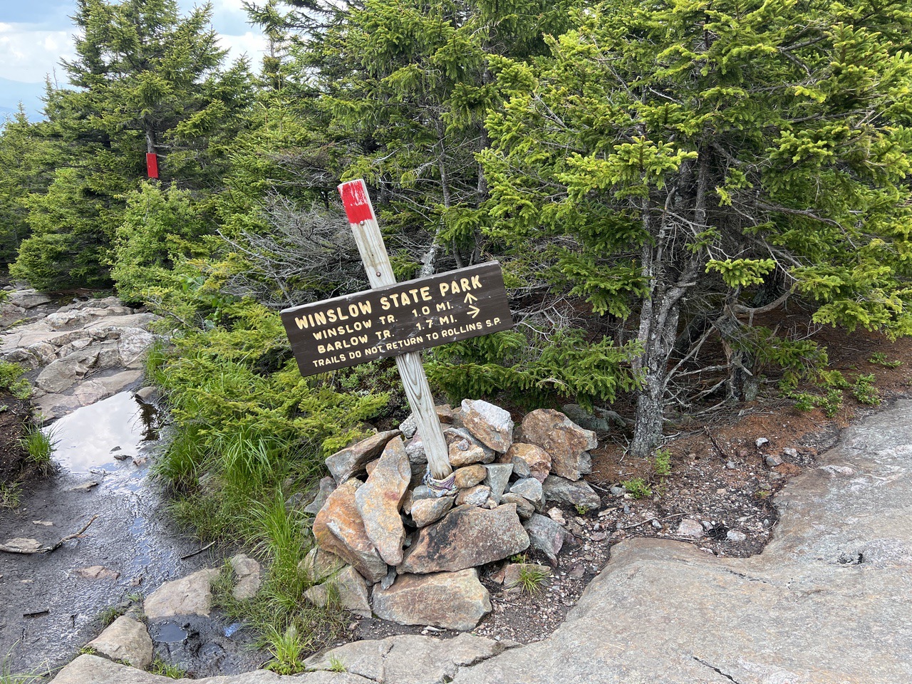
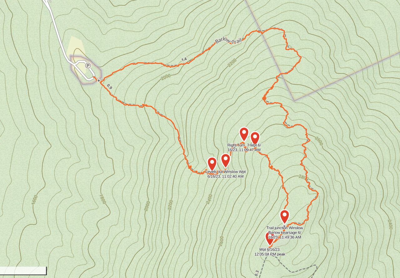
The peak of Mt. Kearsage is in Mt. Kearsage State Forest Park in Warner NH (near its border with Wilmot). Although it is only a bit over 2900 feet high, it is not near any other mountains and has the fourth highest prominence on the 52 With A View List (2080 feet). It has trailheads on the north side in Winslow State Park in Wilmot and on the south side in Rollins State Park in Warner. Since we were driving down from Lincoln, we went to the north side, about 70 minutes driving. We bought a day pass for Winslow State Park online the night before for $1. There was plenty of parking at the trailhead. There are two trails that start in Winslow State Park, the shorter/steeper Winslow Trail at 1.1 miles and the longer Barlow trail at 1.8 miles. The recommendation is to do the loop counter-clockwise, up the Winslow Trail and down the Barlow Trail. The elevation at the parking lot is 1800 feet. The summit is a bit over 2900 feet, so the climb on Winslow Trail is steep at a roughly 20% grade.
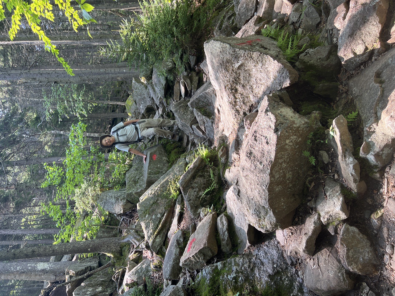
The hike up the Winslow Trail was pretty uneventful. The trail is well-blazed in red. It was fairly rocky, but the rocks were pretty large and flat so they worked as steps. The footing was pretty easy.
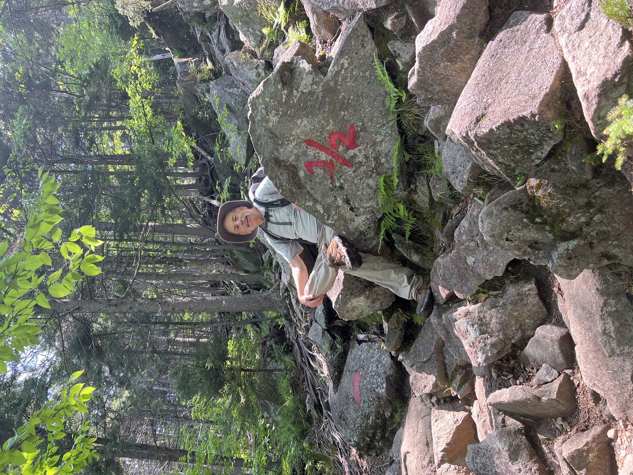
At about .55 miles we reached the halfway rock (elev 2290ft). The rock was so named because of the quite natural marking on its face. We continued walking up from there.
The trail then leveled out a bit about a tenth of a mile further on at an elevation of about 2420 feet and turned right at about .7 miles.
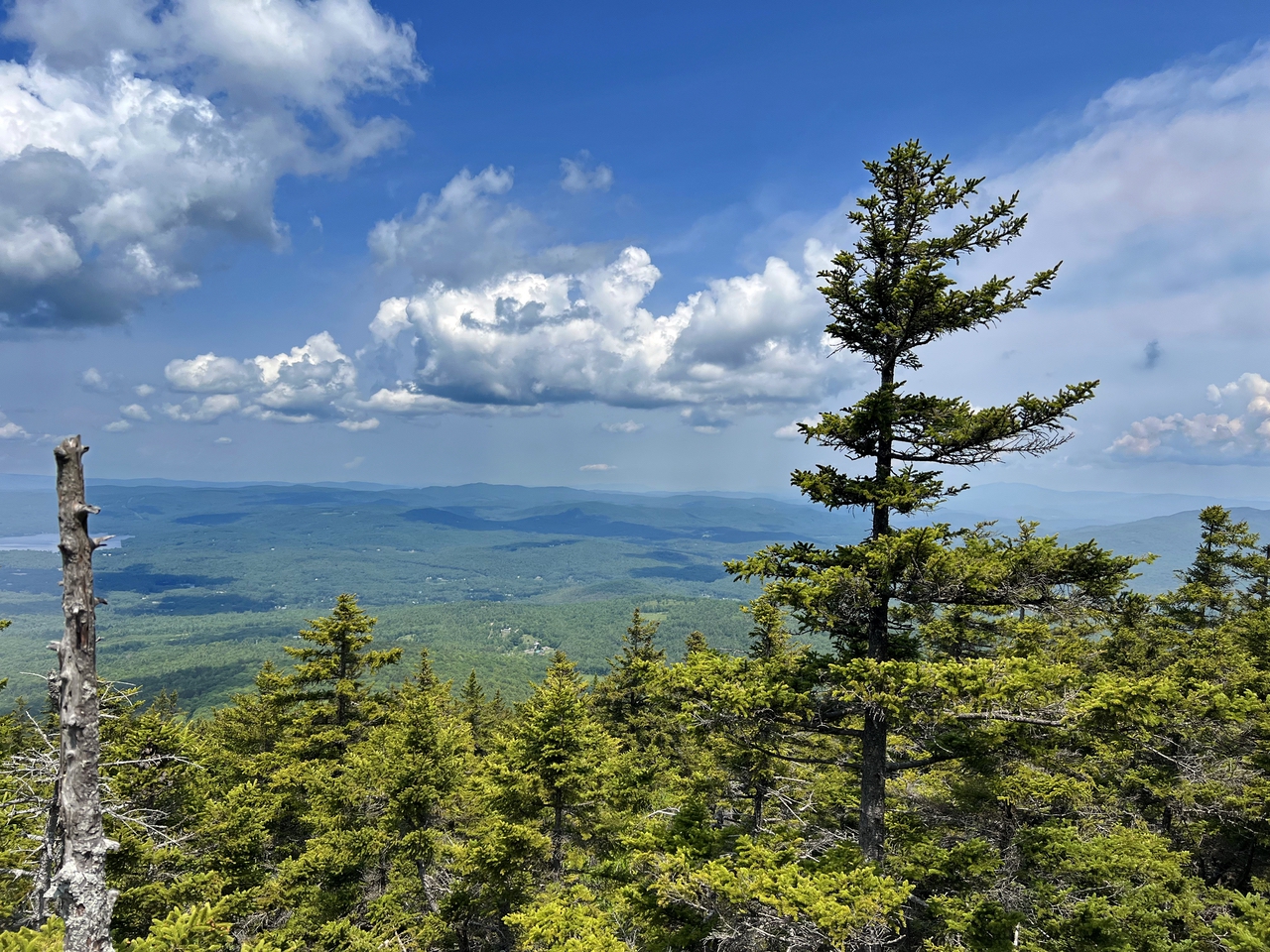
At about .8 miles (≈2600 feet) there were ledges on the left side of the trail that provided good views to the north.
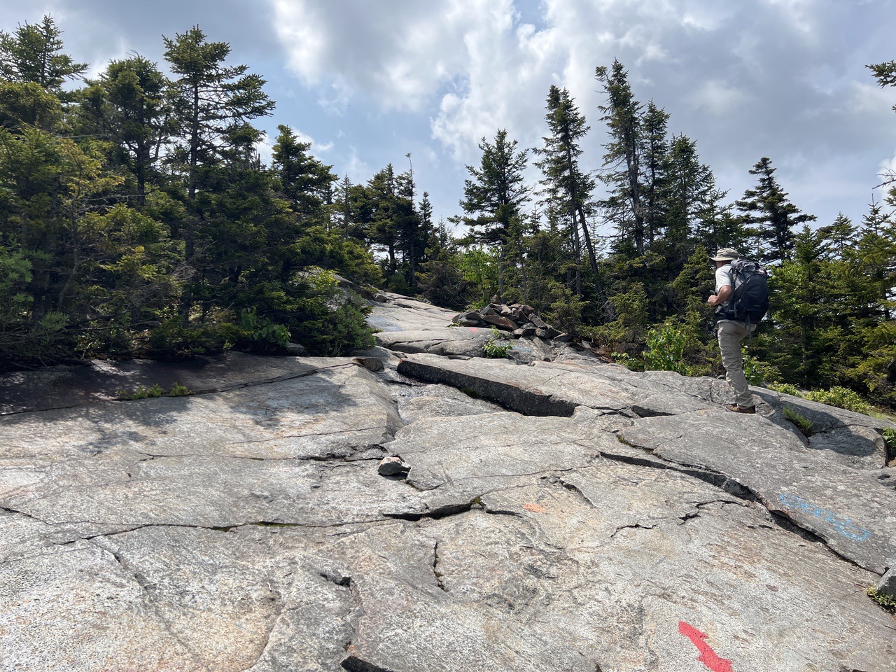
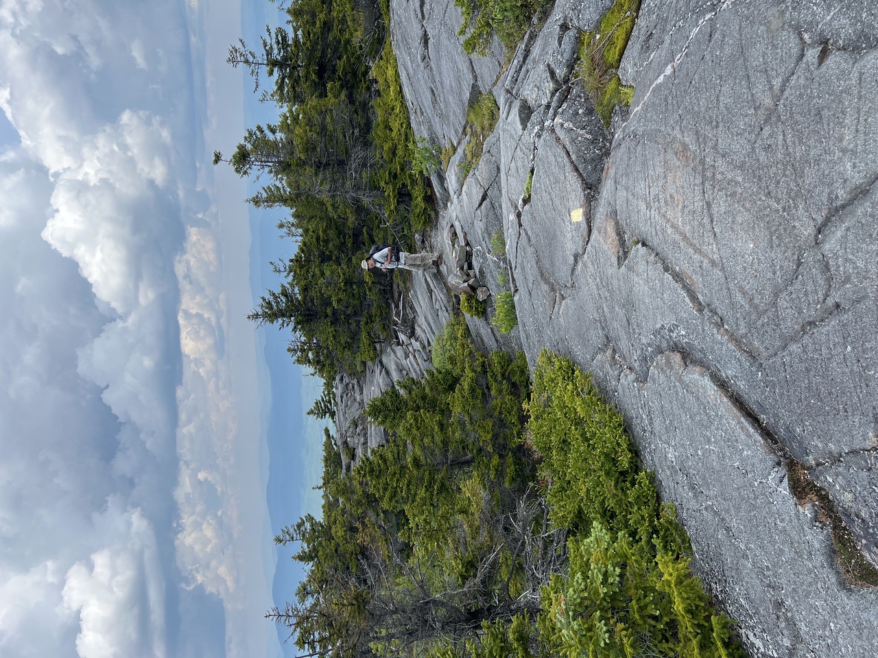
As we neared the top, the trail turned into stone slabs. About 100 feet below the summit, the Barlow Trail joined from the left.
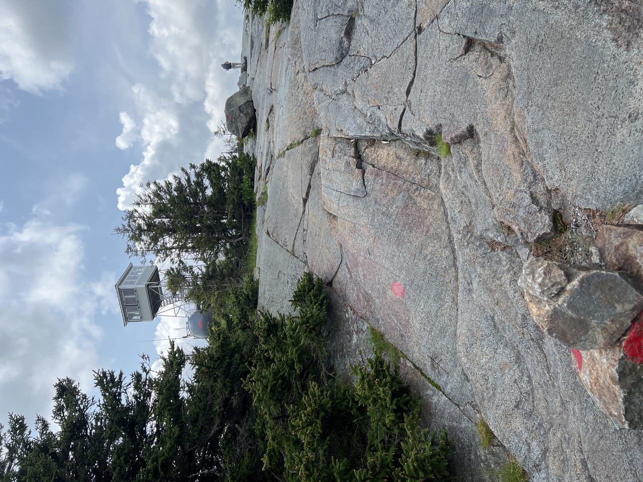
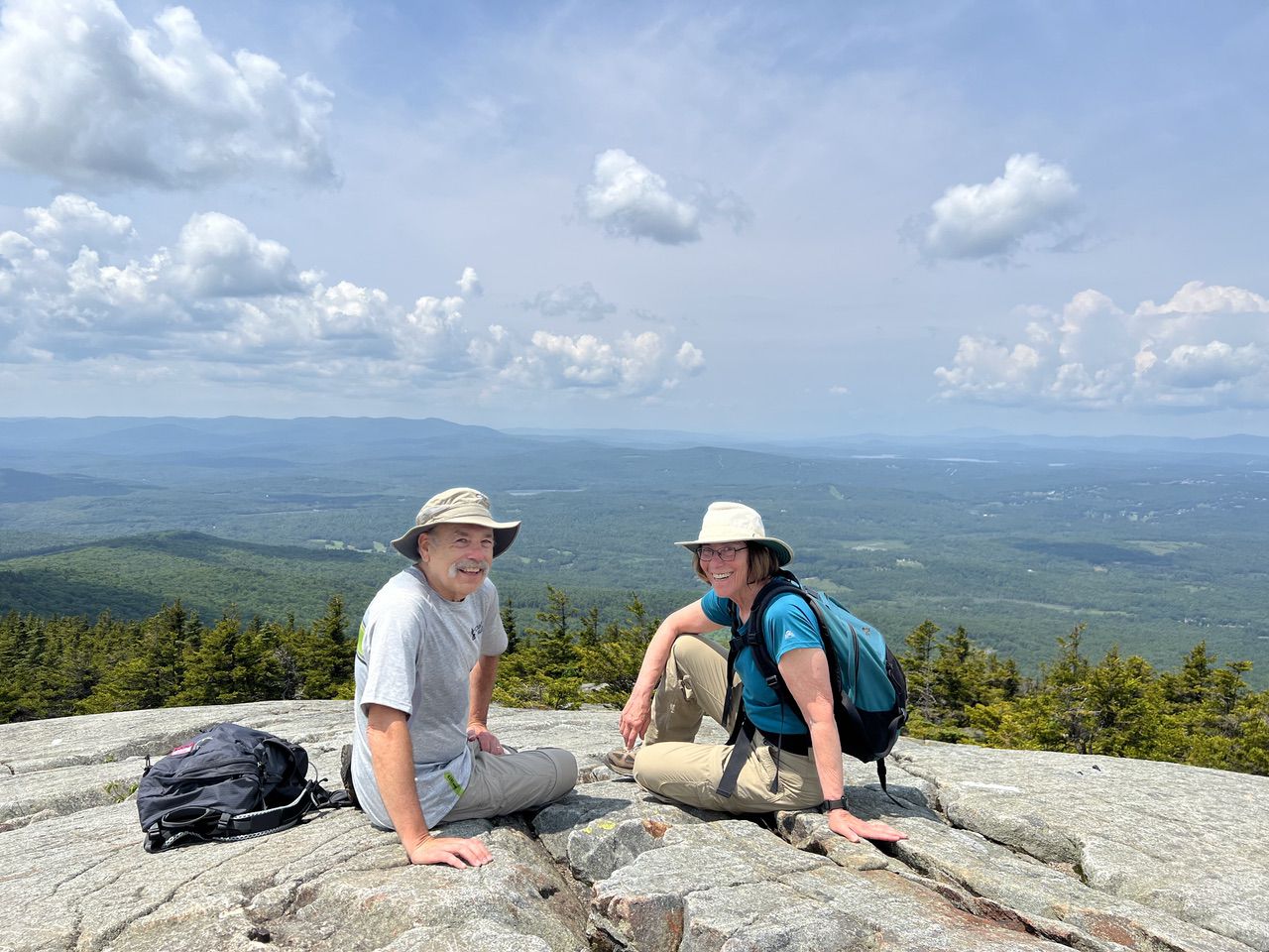
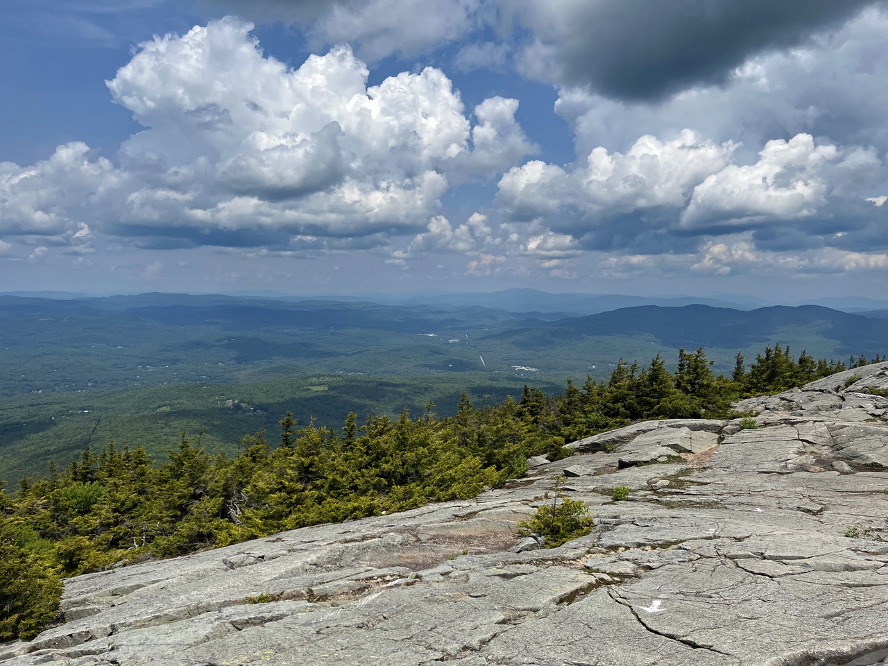
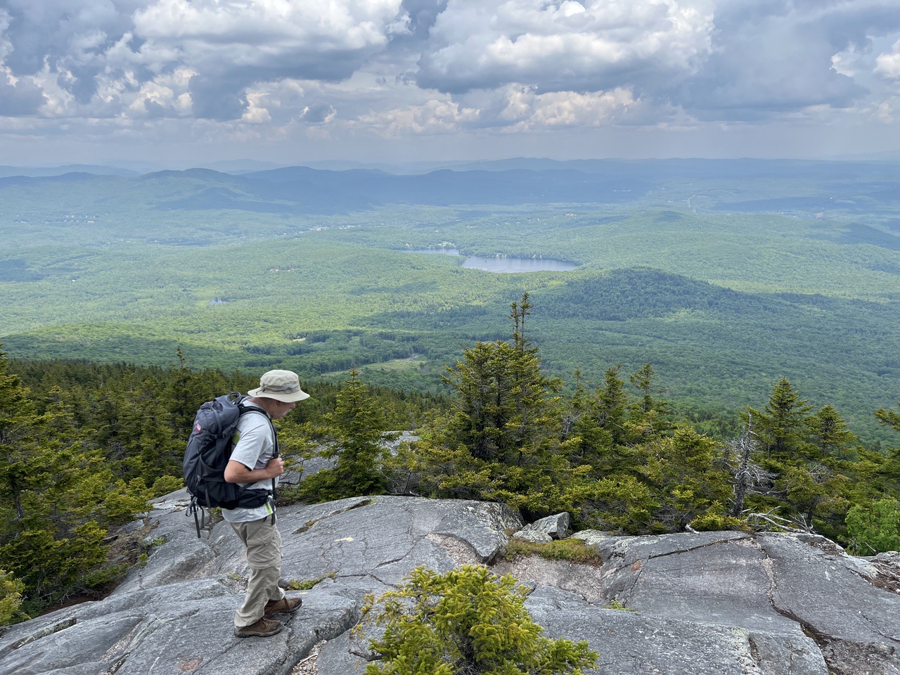
We reached the top in about an hour and 40 minutes, where there was a tall cell tower and a shorter fire tower with an enclosed area for viewing which is sometimes accessible (although we didn't try). Due to the high prominence, there is a 360 degree view from the summit. Views north were into the White Mountains and west to all of the high mountains in Vermont.
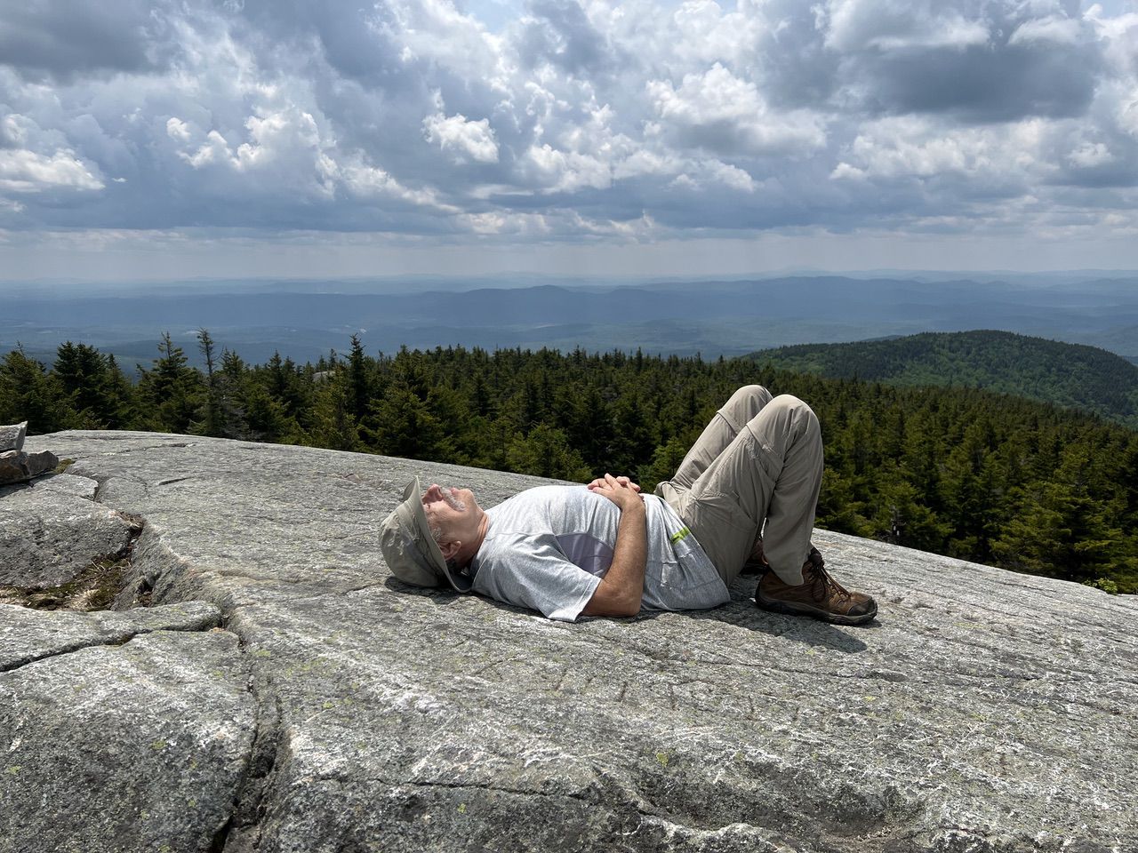
After about 40 minutes relaxing on the summit and having a snack, we headed down the Barlow Trail. The Barlow Trail was blazed with yellow.
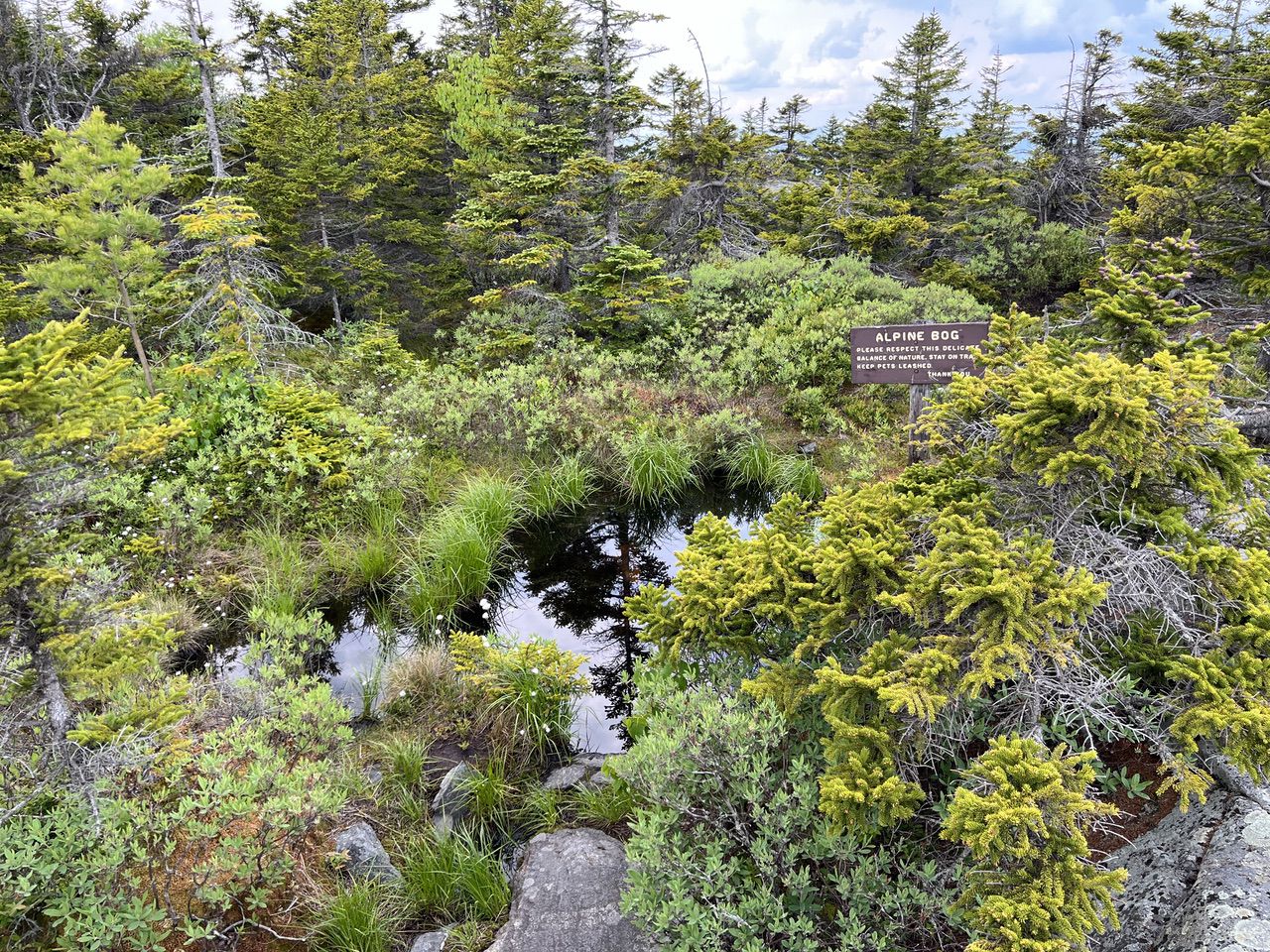
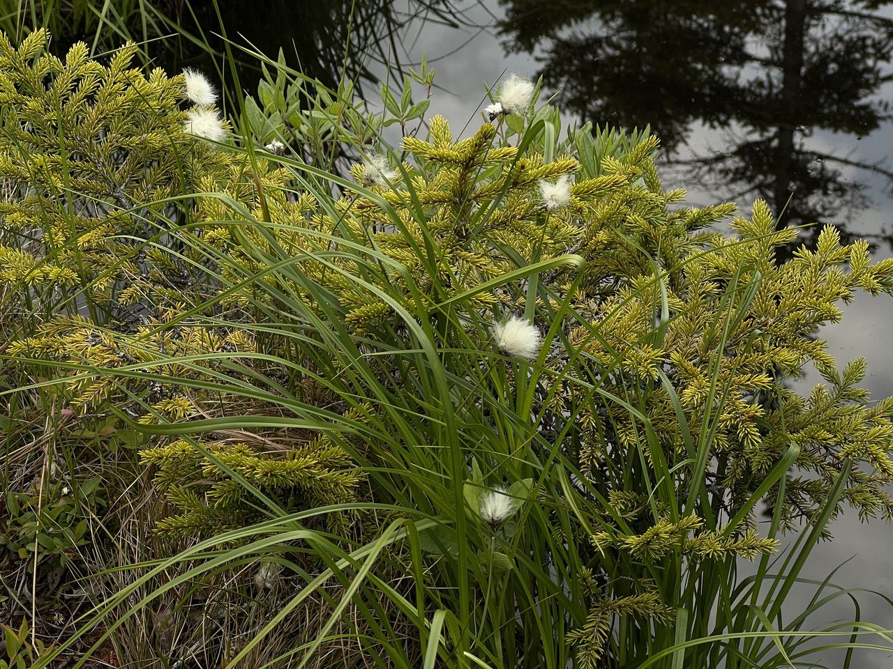
The first stop, not too far from the top, was an Alpine Bog that included Cottonsedge.
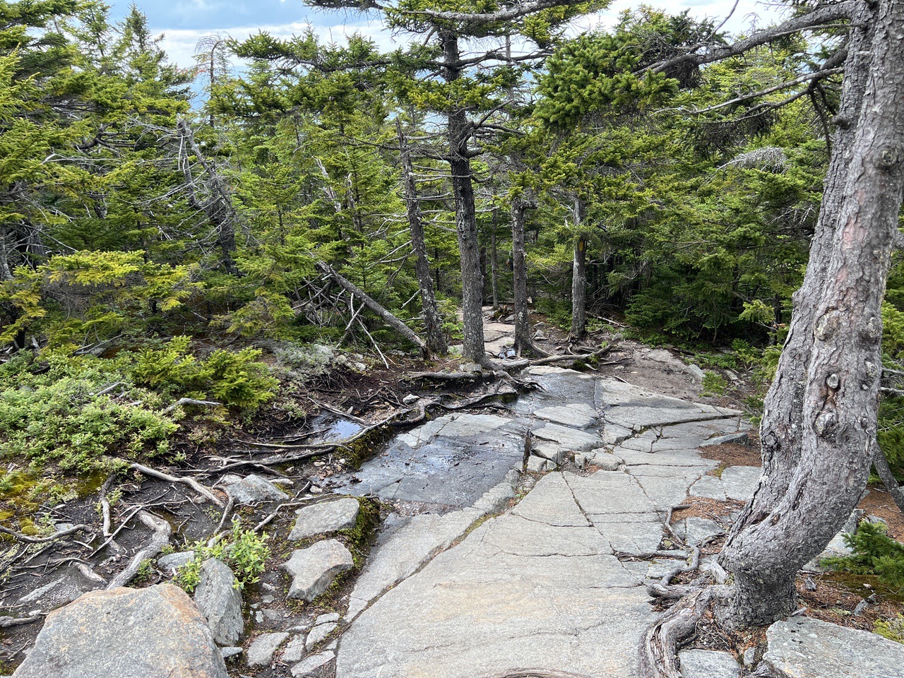
The Barlow Trail was somewhat less steep than the Winslow trail (given that it is about 80% longer) but it was also quite rocky further down the trail (further down than these pictures) and the rocks were not as convenient as the ones on the Winslow Trail.
As we descended, the trail was also wetter than the Winslow trail and about a third of the way down Larry's leg slipped on a wet rock. He sat down gently but hyper-extended his knee, making it impossible to walk on. A call to 911 resulted in a large crew from multiple fire departments and Fish and Game coming up and littering him down for the last mile. A very nice hike ended on a down note.
Here is a map of the loop.
--
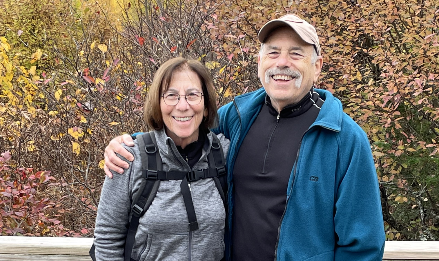
Larry and Eileen Samberg