Mt. Potash
Monday, 07-Aug-2017
Tags: NH / Hiking / 52View
This is not a trail guide. If you are planning to hike any of these trails refer to a real trail guide such as
(for the White Mountains) the
AMC White Mountain Guide.
We last hiked Mount Potash in 2011, before the creation of our blog, so we chose Potash for our “52 with a view” hike.
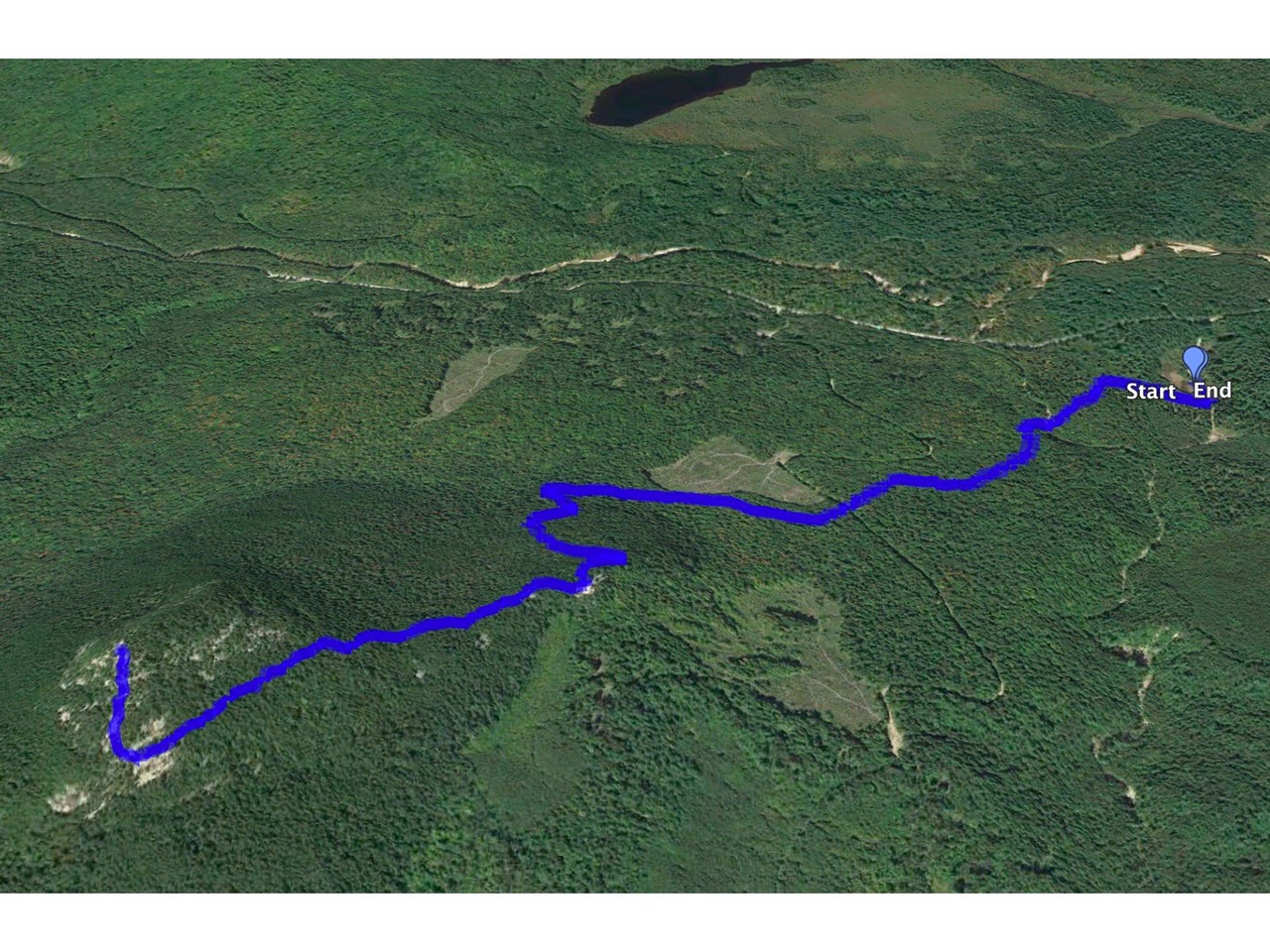
Potash is about a 4.4 mile round trip hike. The elevation at the trailhead is 1250 ft and at the summit, 2675 feet. So, with a change of about 1425 feet over 2.2 miles the trail, on average, the hike is not difficult. But the climb is a bit uneven with some stretches being mild to moderate and some, especially near the top, being steeper.
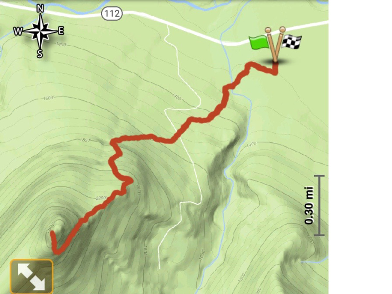
The trailhead is on the south side of the Kancamagus Highway (NH 112) about 20 miles east of Lincoln, NH. The hike starts from a large parking area that is a common lot for Hedgehog (UNH Trail), Mount Potash, and Downes Brook trails. The hike consists of easy grade, one water crossing, some rocky and steep sections, and some granite slab toward the top.
(There have been some re-routes over the years, so old maps won’t be entirely accurate. The newest map and the map at the trailhead are correct.)
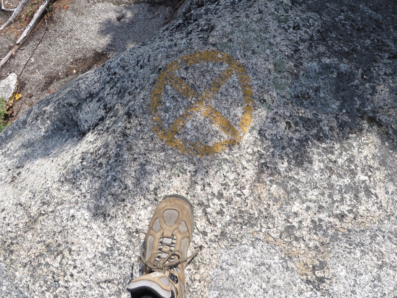
From the parking lot, the trail starts on the Downes Brook Trail south on a gravel road. The UNH trail to Hedgehog diverges left almost immediately, and the Downes Brook Trail turns right shortly after, entering the woods. At 0.25 miles, there is a left turn and at 0.3 miles, there is a right turn onto the yellow-blazed Mount Potash trail.
Lots of signs at the start.
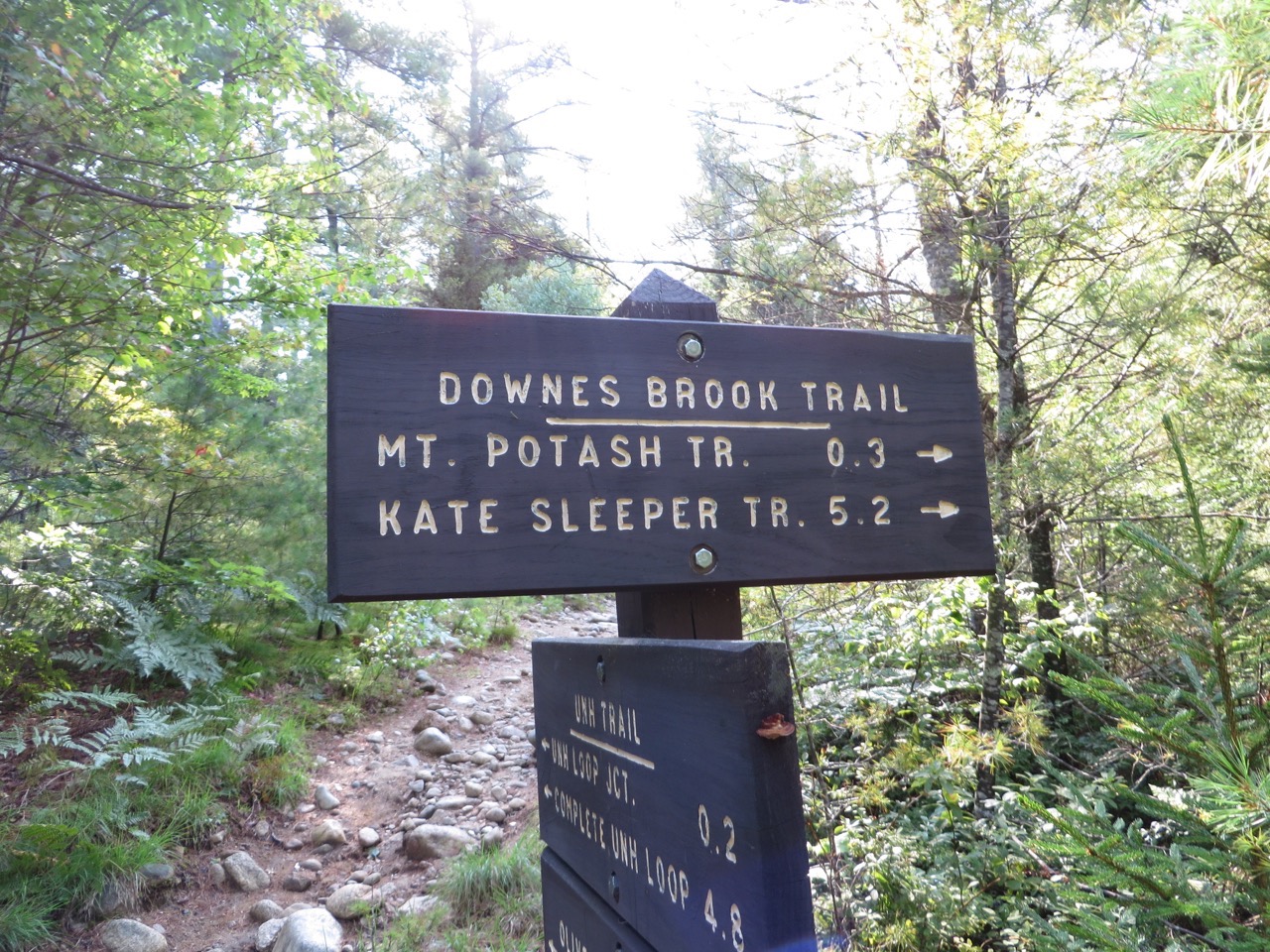
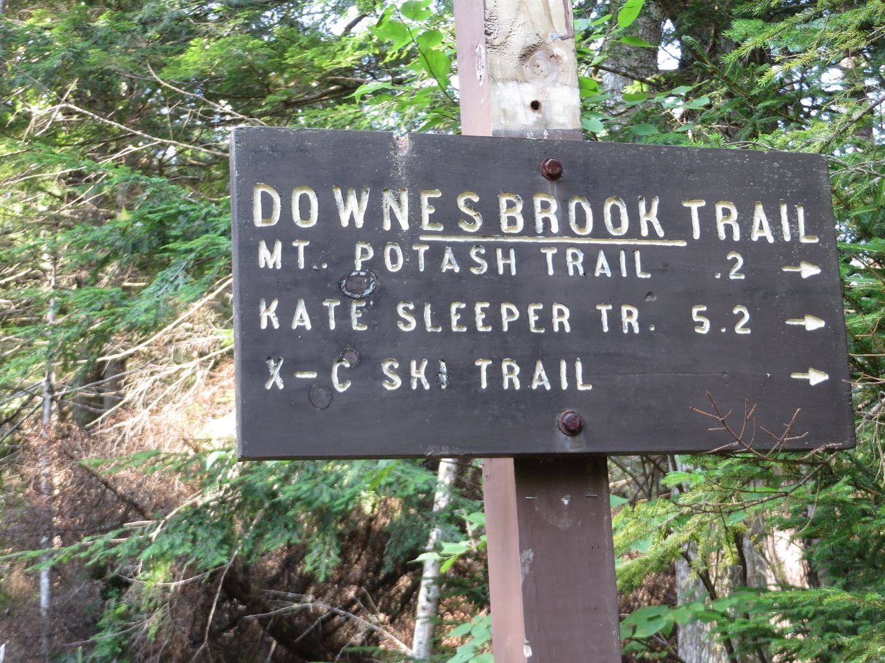
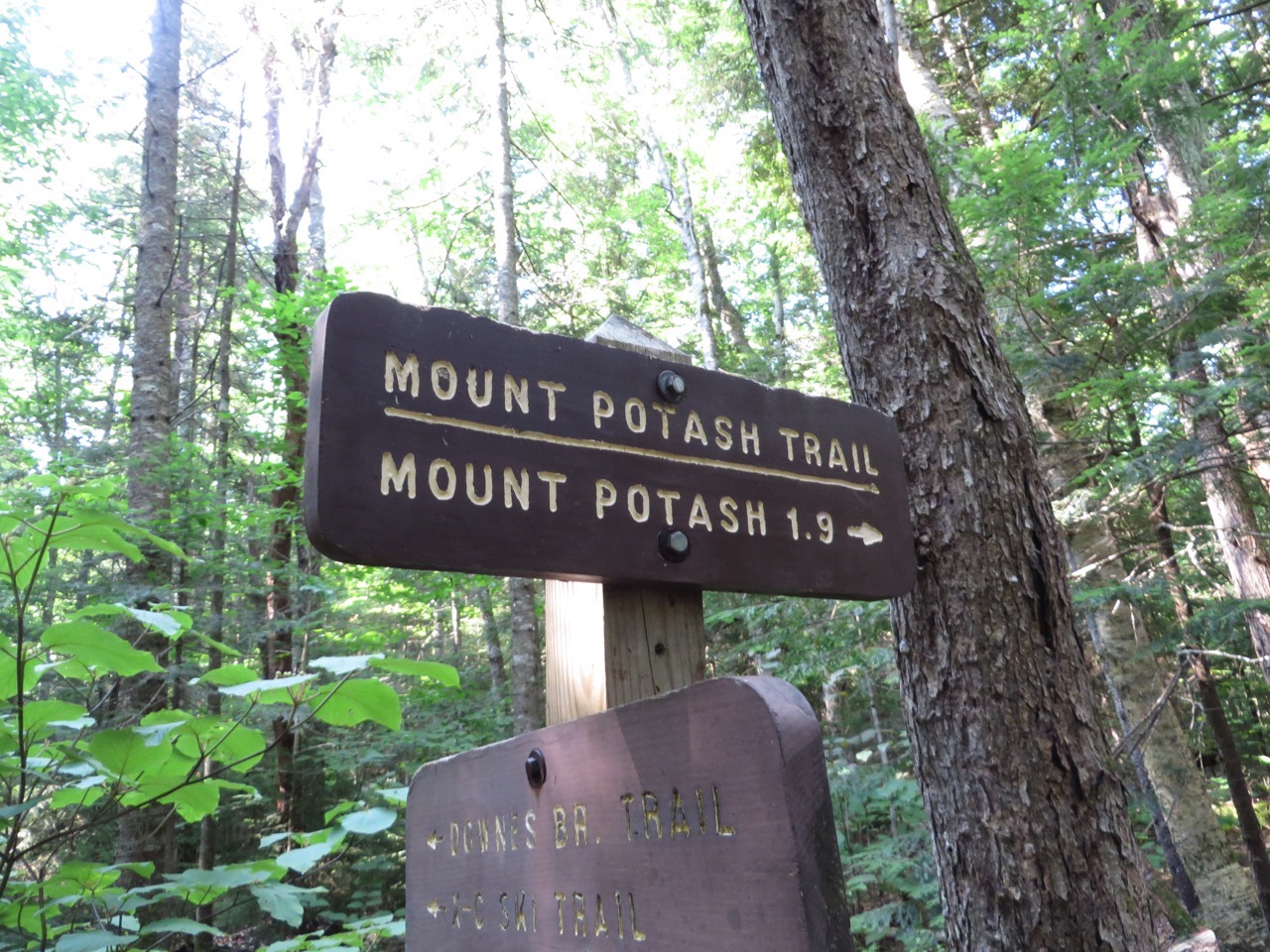
At 0.4 miles, there is a crossing of a wide but not deep Downes Brook (note that there is a way to skirt this brook in high water by starting on a logging road west of the trailhead that intersects later with the Mount Potash trail). Today both Eileen and Larry were able to cross by rock-hopping. The trail goes left around the bank and continues at a gradual ascent, crossing the logging road at about .75 miles.
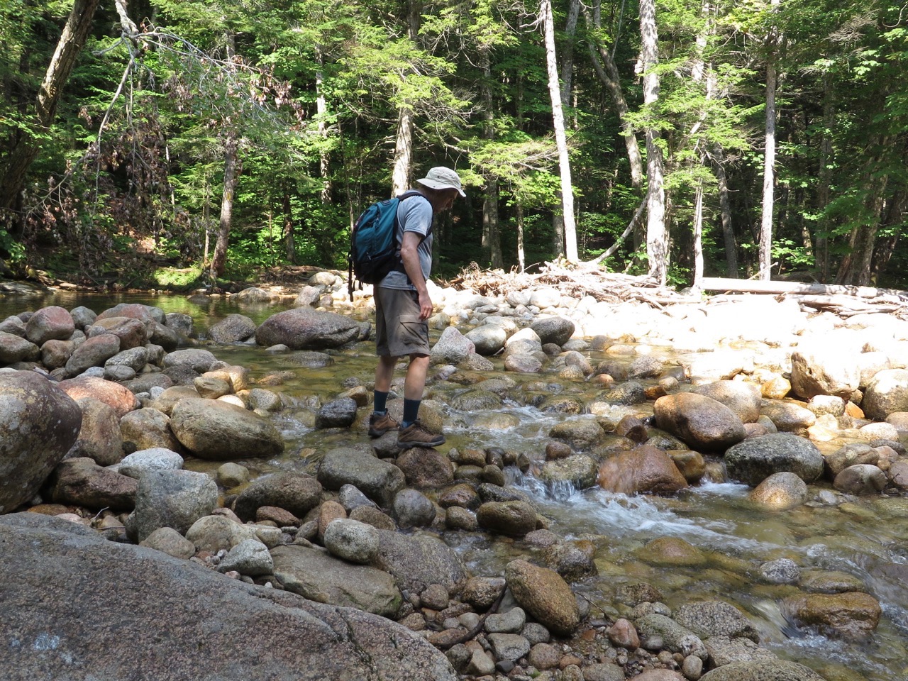
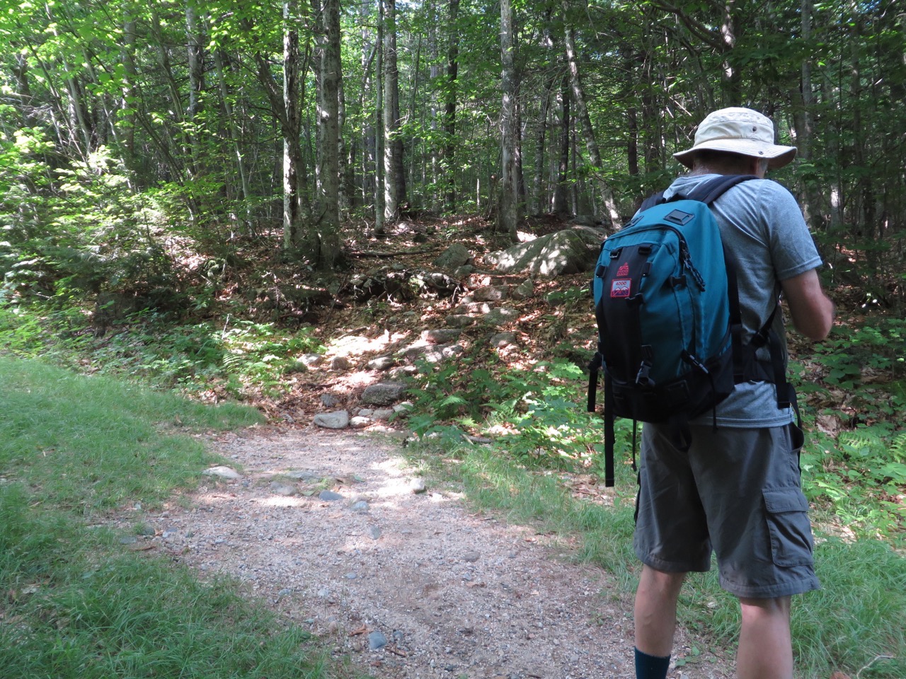
The trail heads up through hardwoods at a mild grade. At 1.2 miles (elev 1755), the trail turns sharp left and begins some switchbacks through hemlocks, a little steeper with rocks and tree roots to negotiate. At around 1.4 miles (elev 2048), the trail turns left and then right and climbs to a nice south-facing outlook on the northeast shoulder at 1.5 miles (elev 2170 feet). There are good views of Mt. Passaconaway straight ahead, the Downes Brook valley and Mt. Whiteface to the right, and the Sisters and Mt. Chocorua to the left.
Larry setting a waypoint.
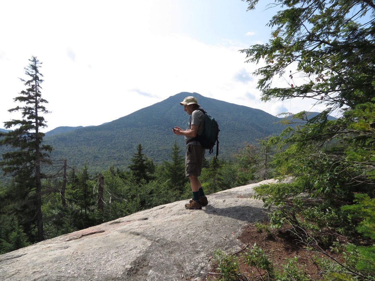
Passaconaway and Whiteface.
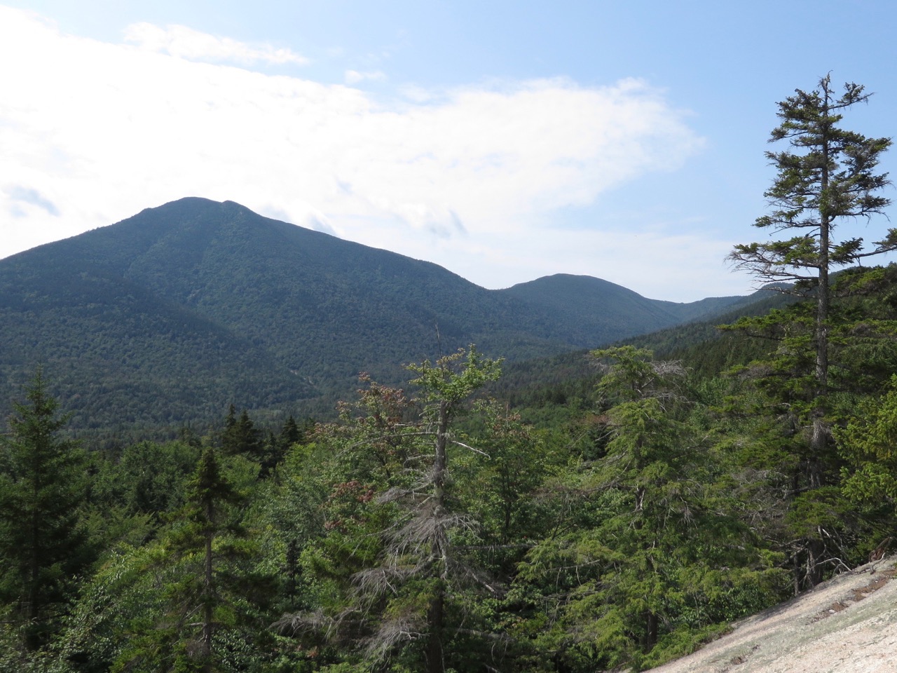
The Sisters and Chocorua.
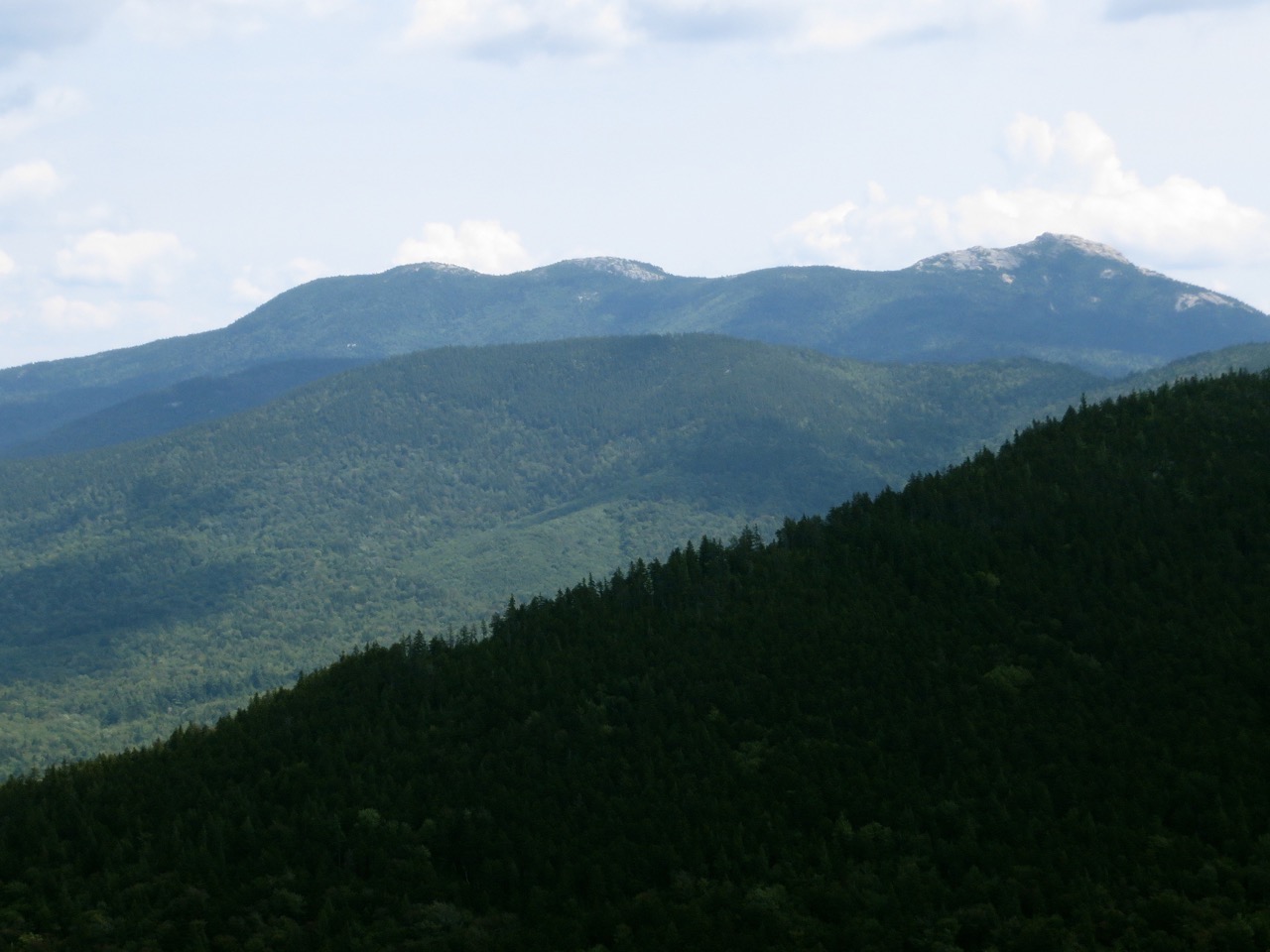
After the ledge, the trail re-enters the wood under spruce trees on level ground and then becomes steeper on rock and tree roots again At 1.9 miles, the trail continues south past the summit and then turns north towards the summit–this is one of the major re-routes. There are some slabs and ledges to negotiate on the way, some angled rather steeply. At 2.1 miles (elev 2675 feet), the trail emerges onto the open summit with fine views.
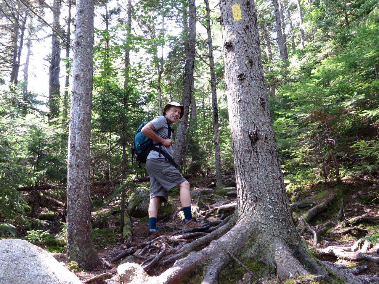
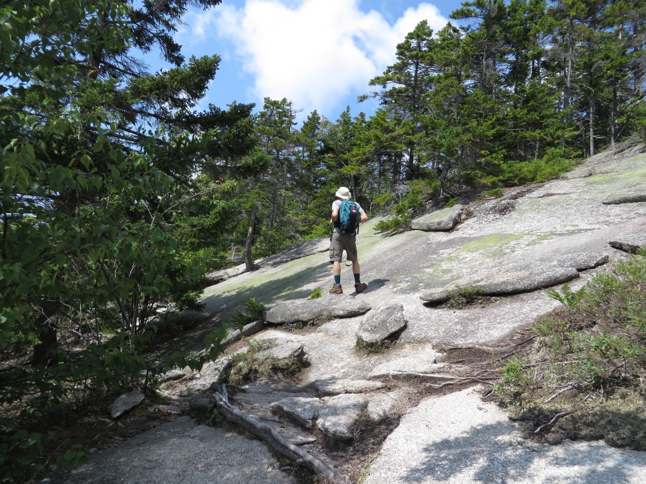
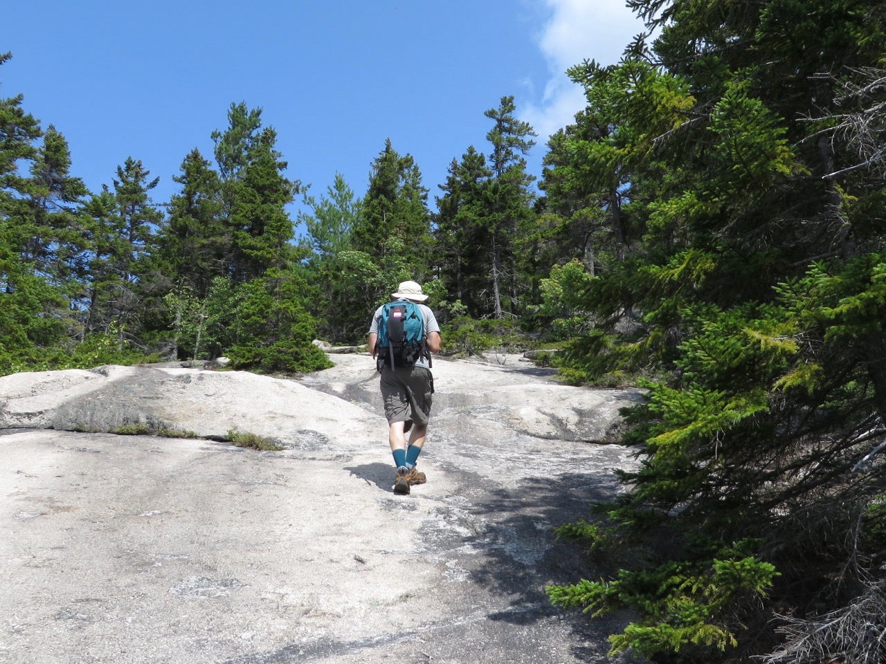
At the top.
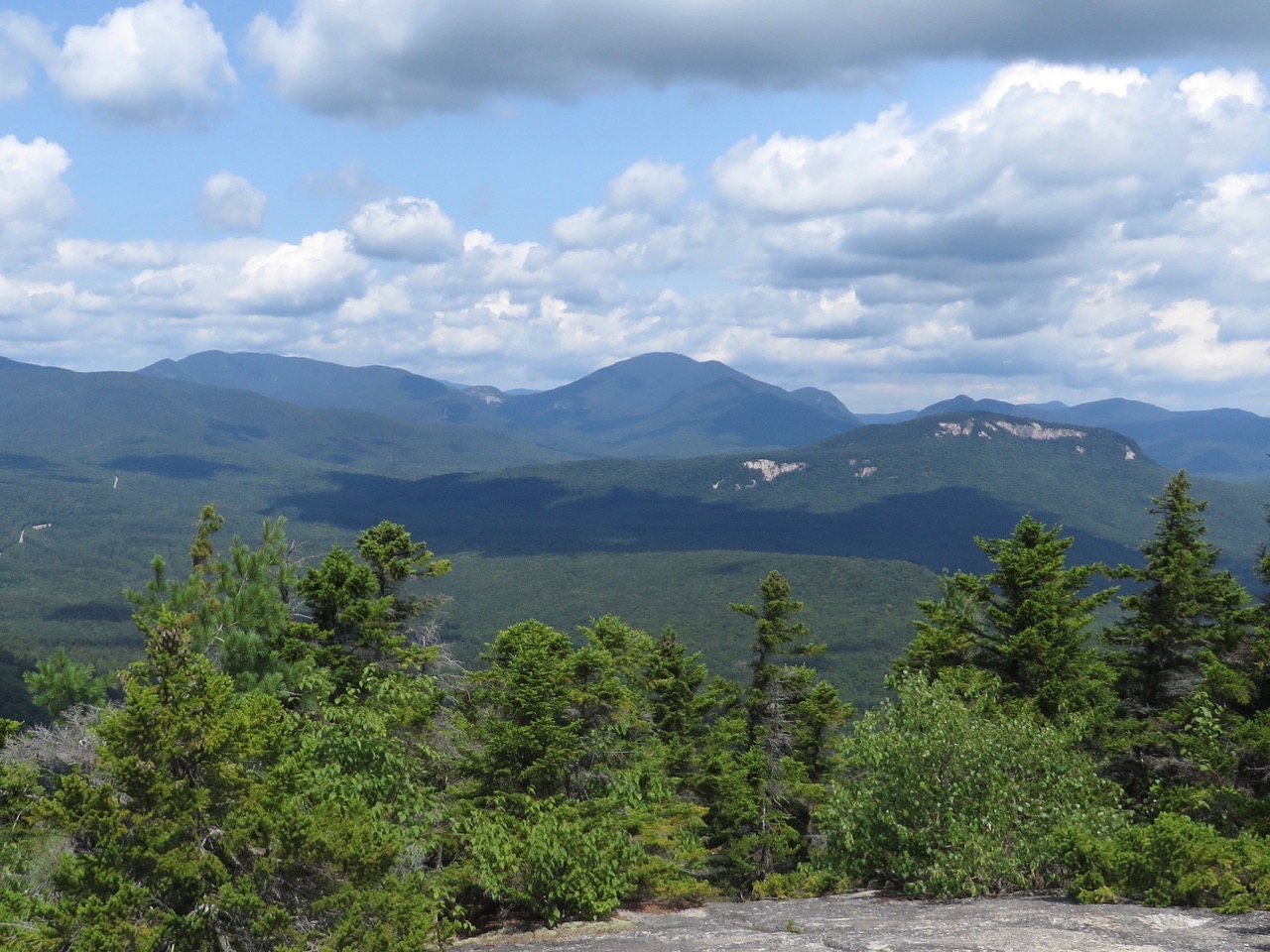
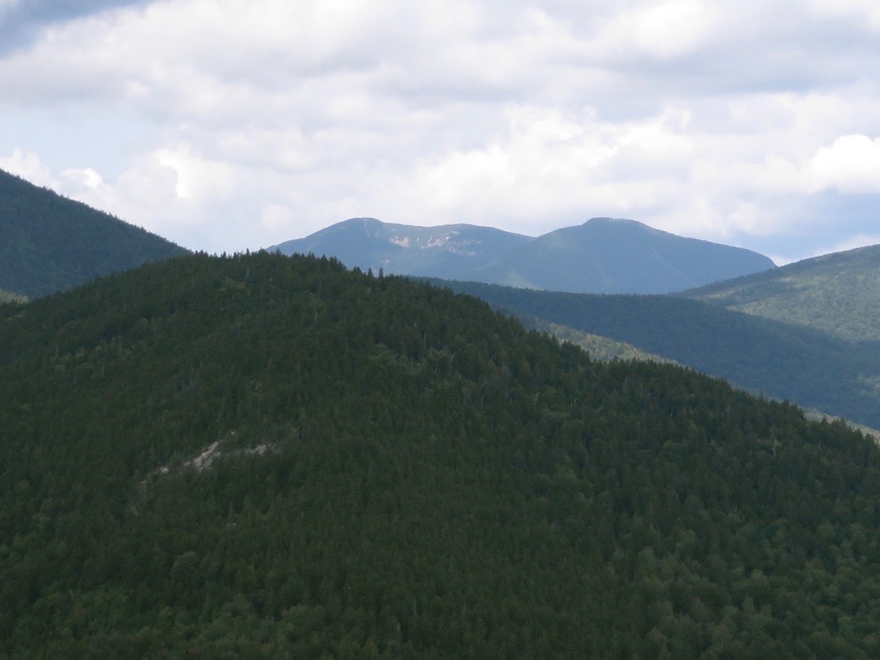
Looking north, you can see the Hancocks and Mt. Carrigain with “The Captain” between them, and a peak of Mt. Tom in the distance through Carrigain Notch. [Fun fact #1: At an elevation of 4700 feet, the summit of Mt. Carrigain is the highest point in the town of Lincoln.] [Fun fact #2: Officially it shares that honor with Mt. Bond whose summit is at an elevation of 4698 feet. But the margin of error on these measurements is ±10 feet.]
Hancocks and Carrigain.
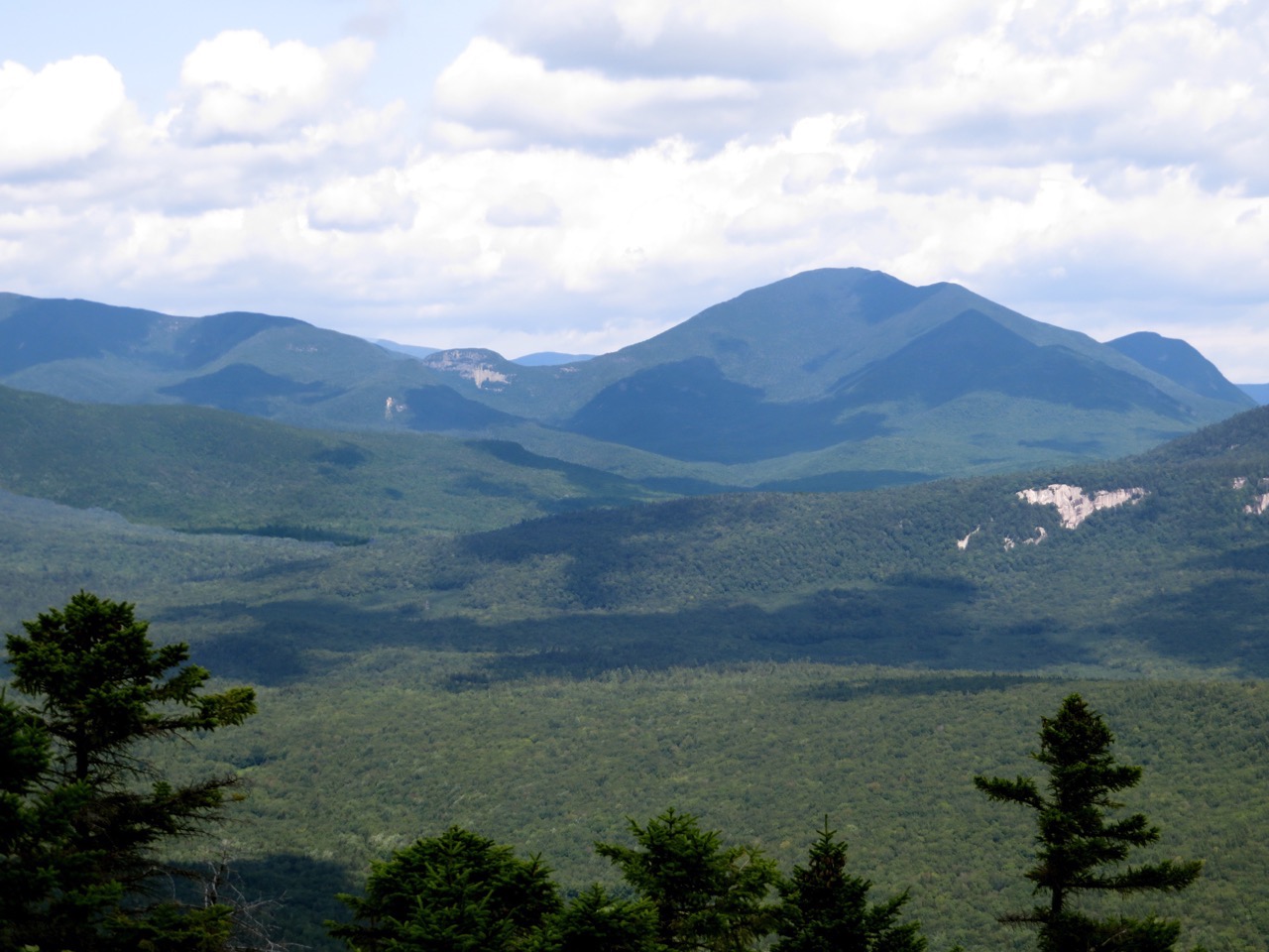
A more panoramic shot showing Carrigain Notch to the right in the picture.
Looking west, you can see the Osceolas and Mt. Kangamagus. To the left of the Osceloas, you can see the Sleepers and the Tripyramids.
The Osceolas.
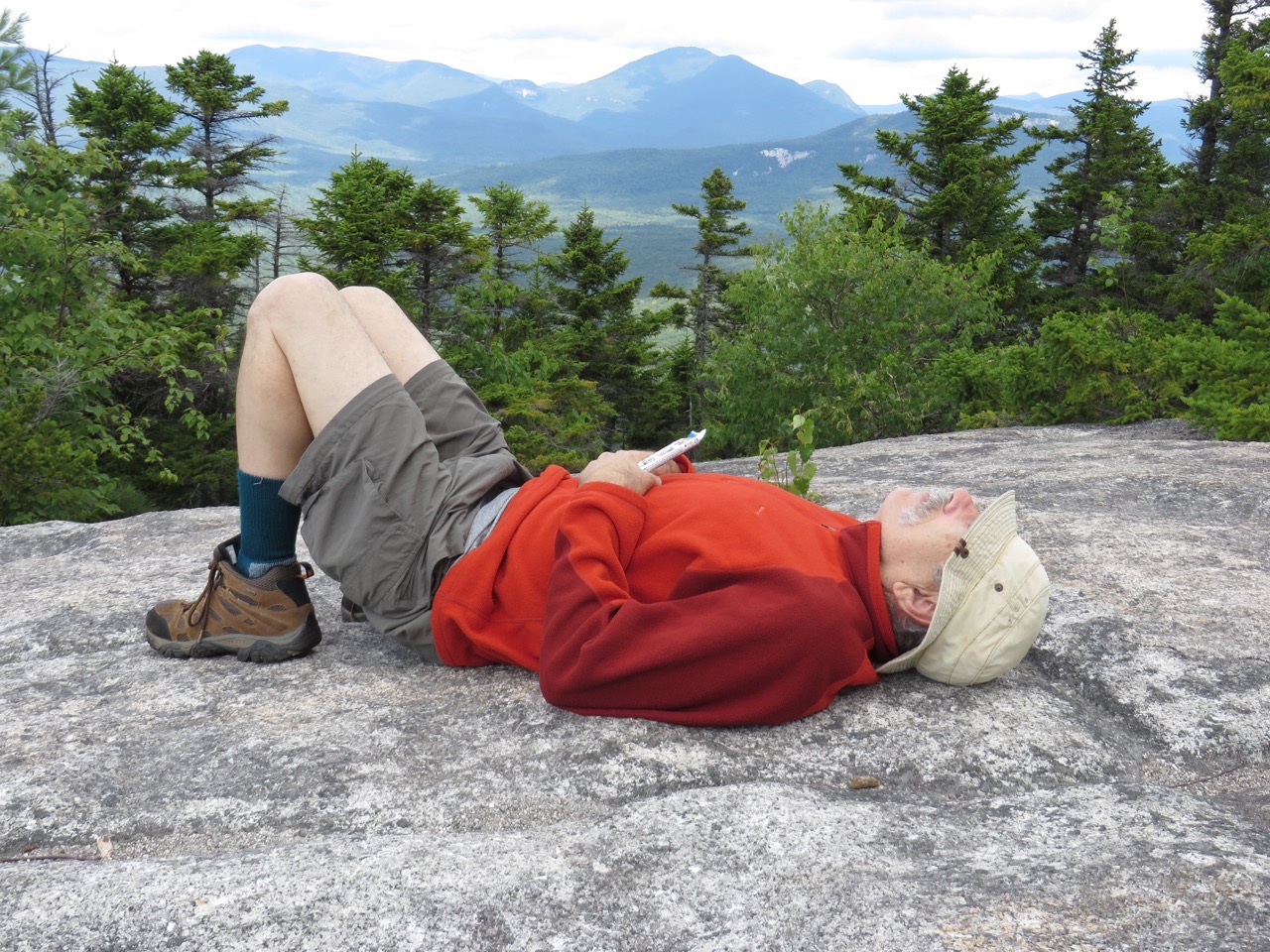
Samberging™.
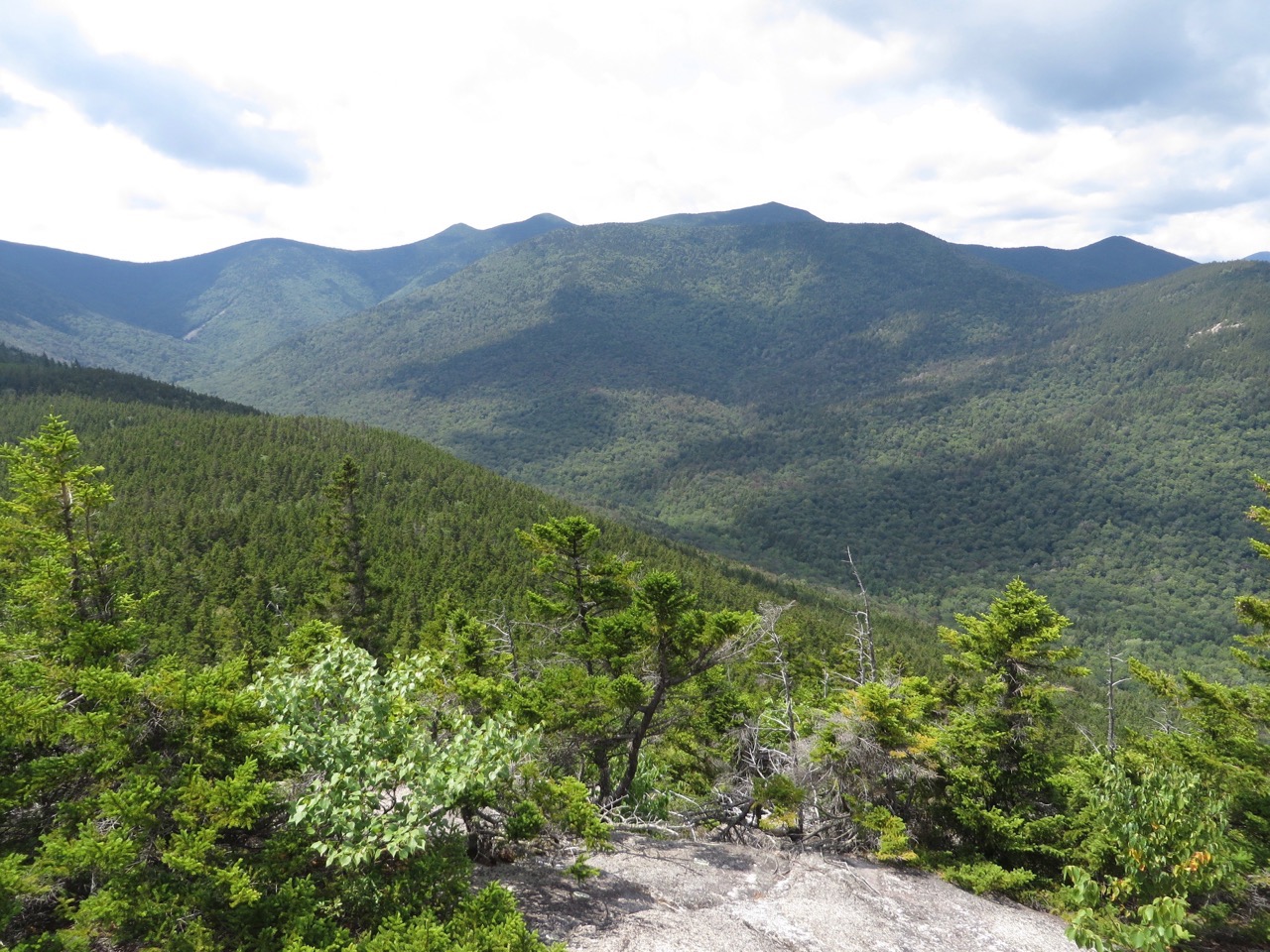
Sleepers and Tripyramids.
The trip took about 2 hours up, with stops for viewing and for photos. After a long, leisurely rest and lunch at the top, we headed down in about 1 hour and 20 minutes.
--
Larry and Eileen Samberg


