Mt. Tecumseh
Friday, 20-Sep-2019
Tags: NH / Hiking / 4000Ft
This is not a trail guide. If you are planning to hike any of these trails refer to a real trail guide such as
(for the White Mountains) the
AMC White Mountain Guide.
This year’s
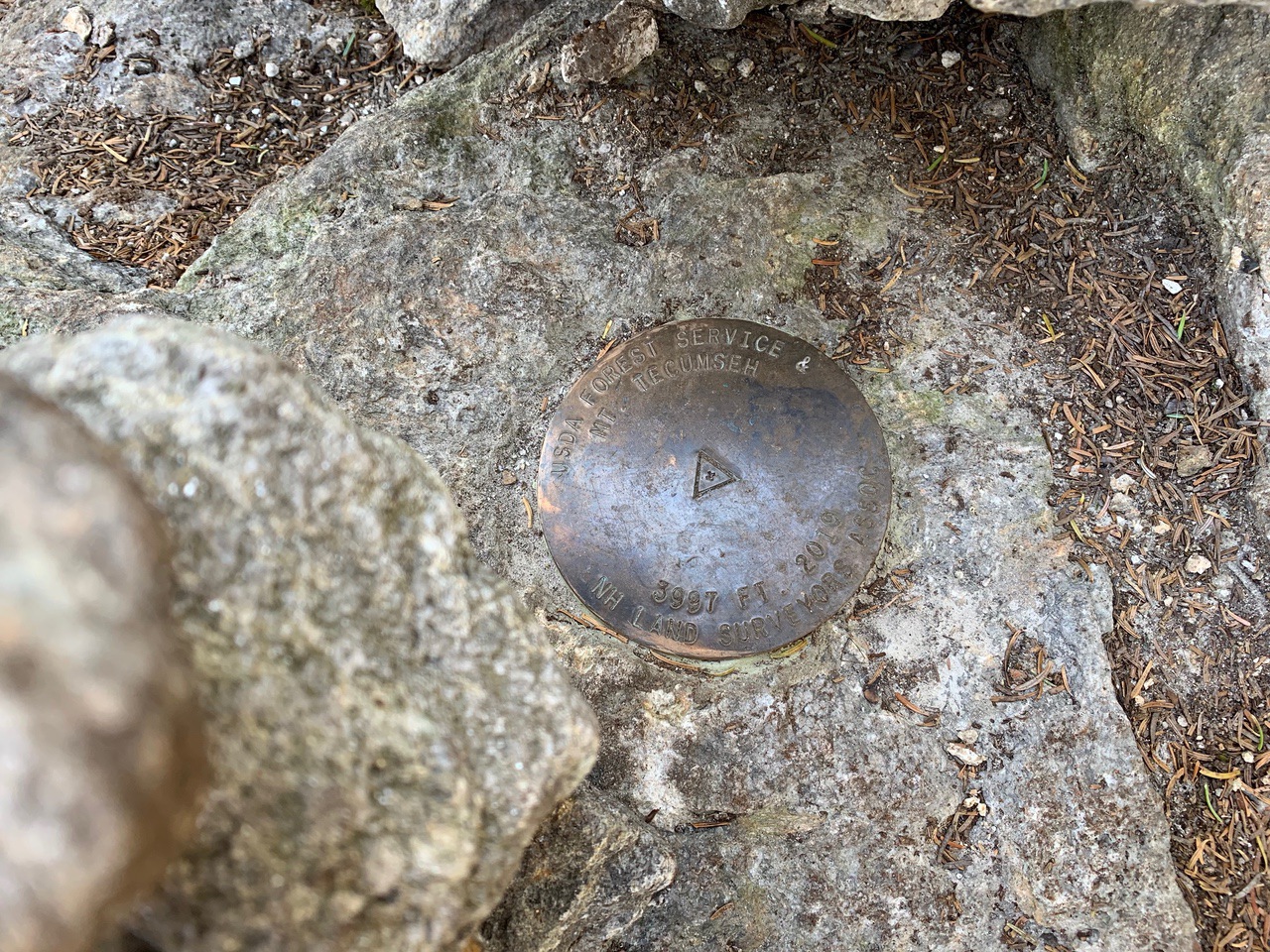
4000 footer, or almost. Mt. Tecumseh has been at the bottom of the 4000 footer list at 4003 feet forever, but a recent survey put it at 3997 feet. There has been no comment from the AMC about the list. Larry hiked Tecumseh twice before (a long time ago), but Eileen had never hiked it. Mt. Tecumseh is also the home of the Waterville Valley Ski Area.
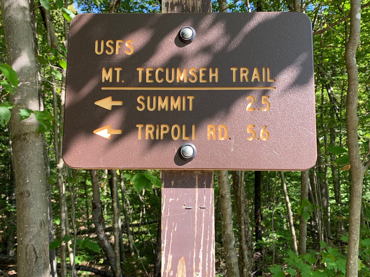
The Mt. Tecumseh trailhead is at Waterville ski area, starting at a small sign straight up from the right side of parking area #1 facing the lodge, the lot just before the lodge on the access road. The trail is marked as 2.5 miles, with 2200 ft elevation, starting at 1840 ft and going to 4003 ft. We hiked this in September, so water was quite low in the brook crossings. A small brook is crossed just after the sign at the trailhead.
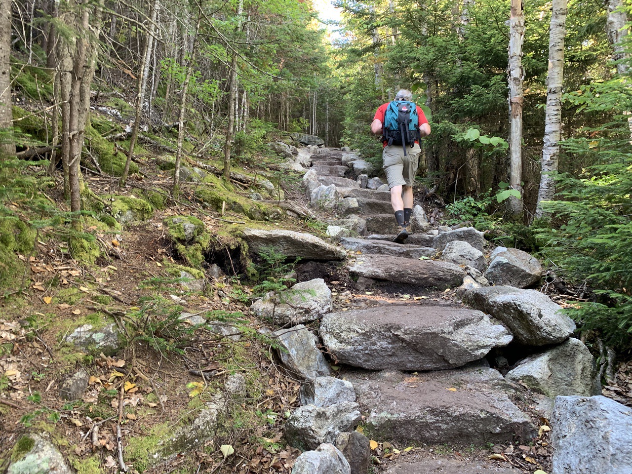
This isn’t a long hike, but it is not an easy one – 2200 feet over 2.5 miles is fairly steep, but it only rises a gradual 300 feet in the first mile, so the elevation change is 1900 feet over the next mile and a half. We consider 900 (or more) feet per mile to be difficult, so this is difficult. Also, this trail has more stone steps (compliments of the AMC) than any trail that we’ve hiked in the Whites. This makes it easier or harder depending on your preference.
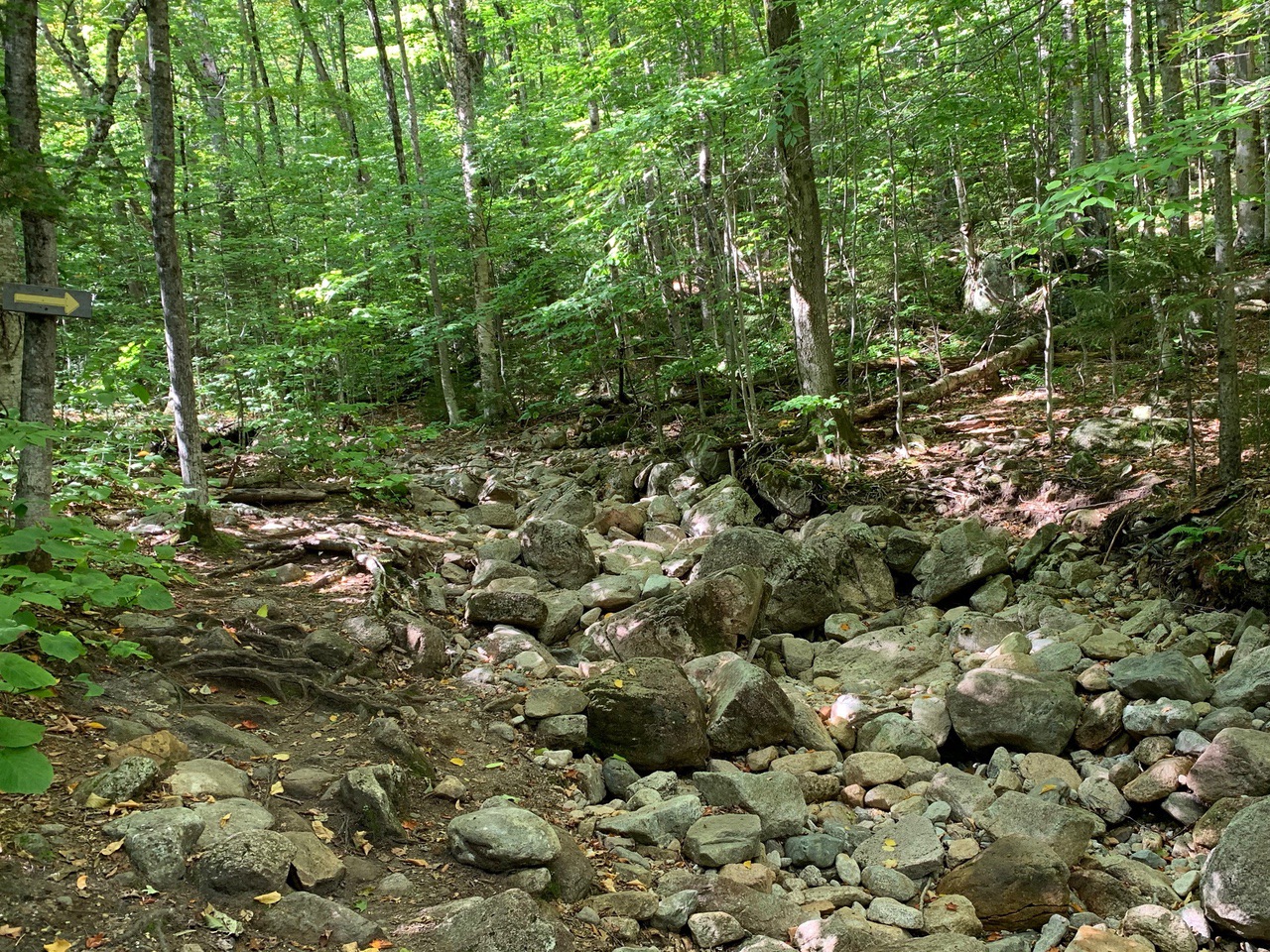
At .3 miles, the trail crosses a brook — mostly dry in late September. Note the yellow arrow on the tree.
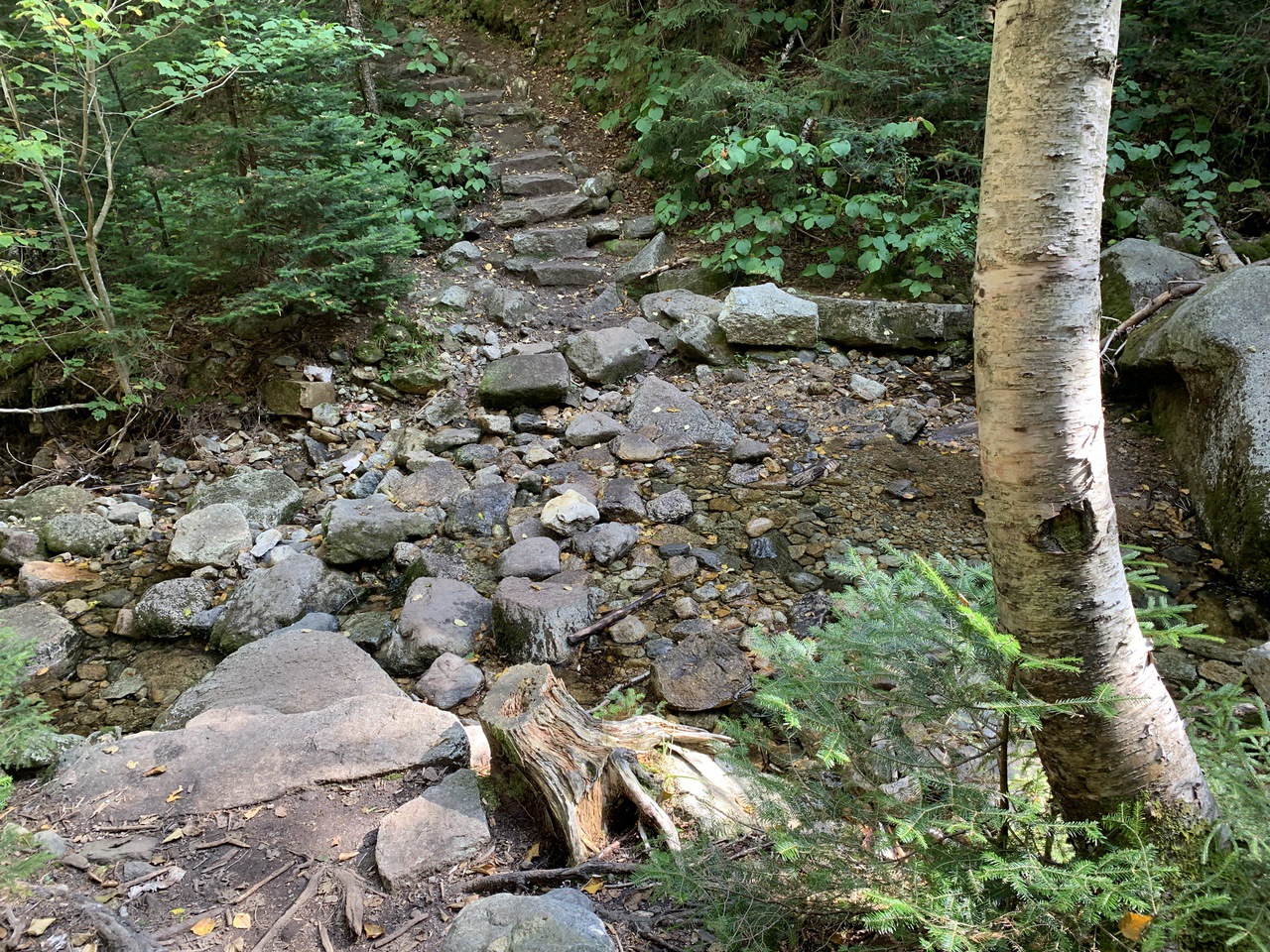
At 1.1 miles, the trail drops and recrosses the brook. After this point, the trail mostly goes up at a pretty good incline.
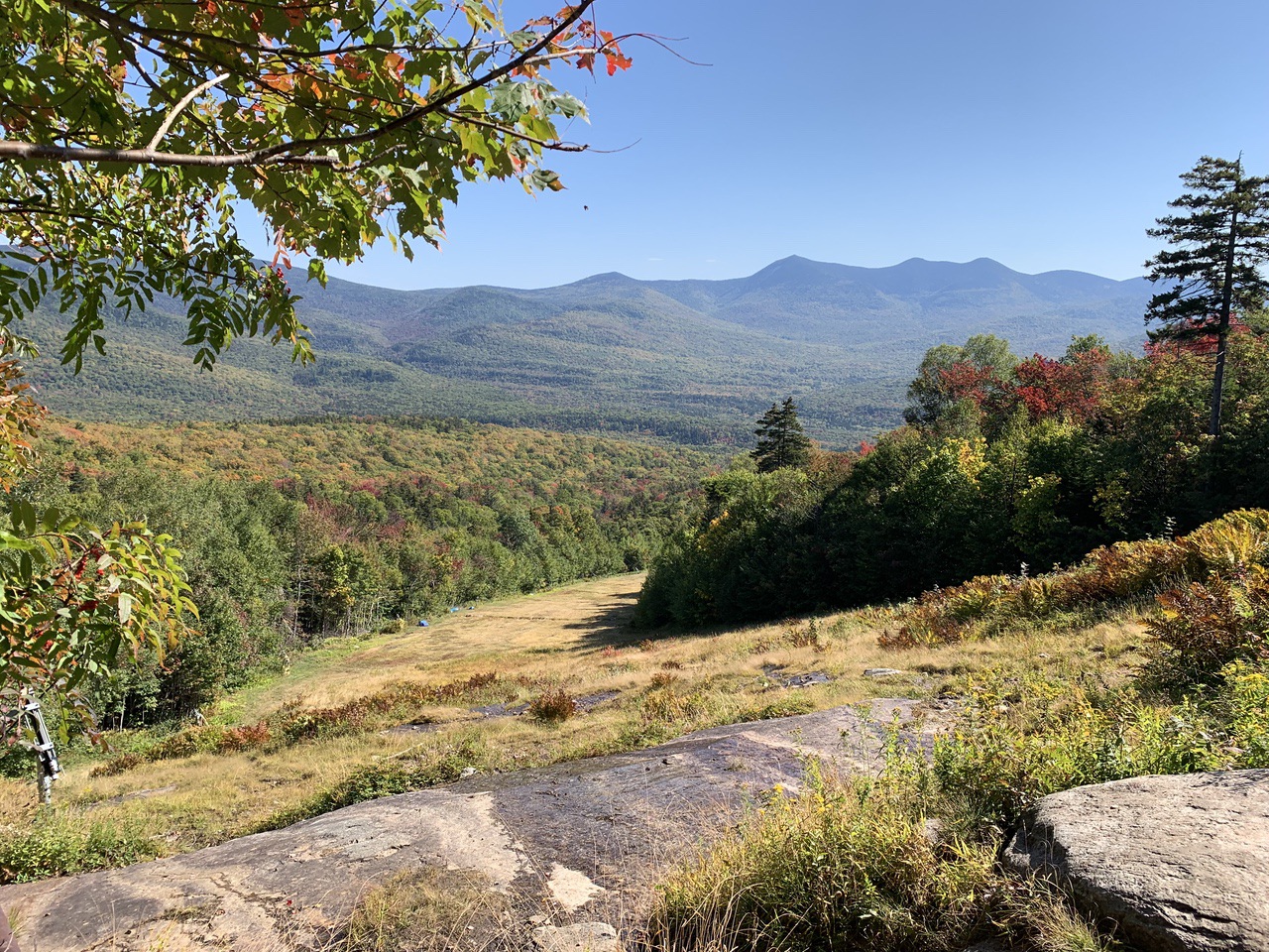
Soon after, there are 3 short switchbacks. with a view from a Waterville ski run at the first one.
A good shot of the Tripyramids from the viewpoint.
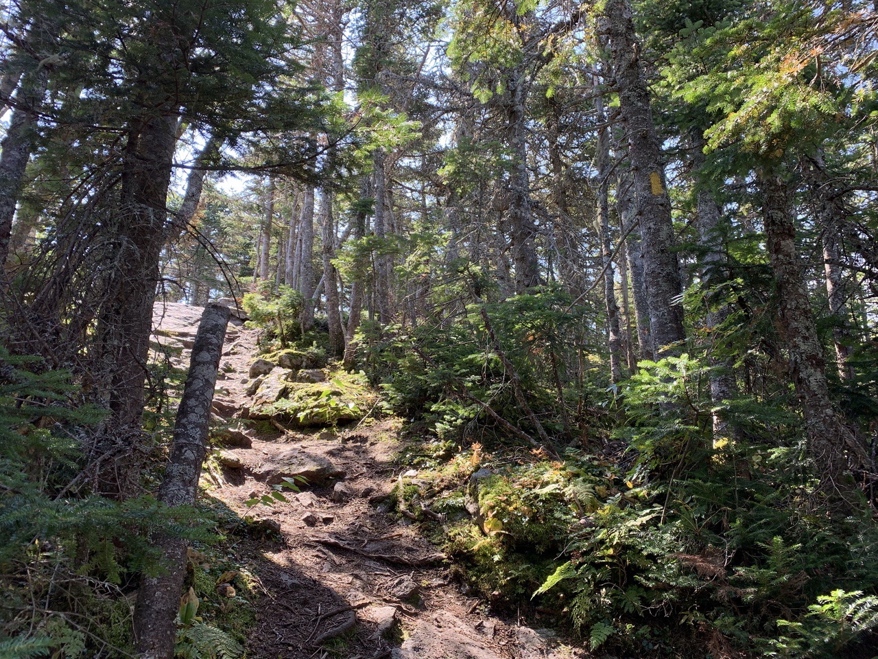
AMC trail crews built some pretty impressive stone steps throughout most of the hike.
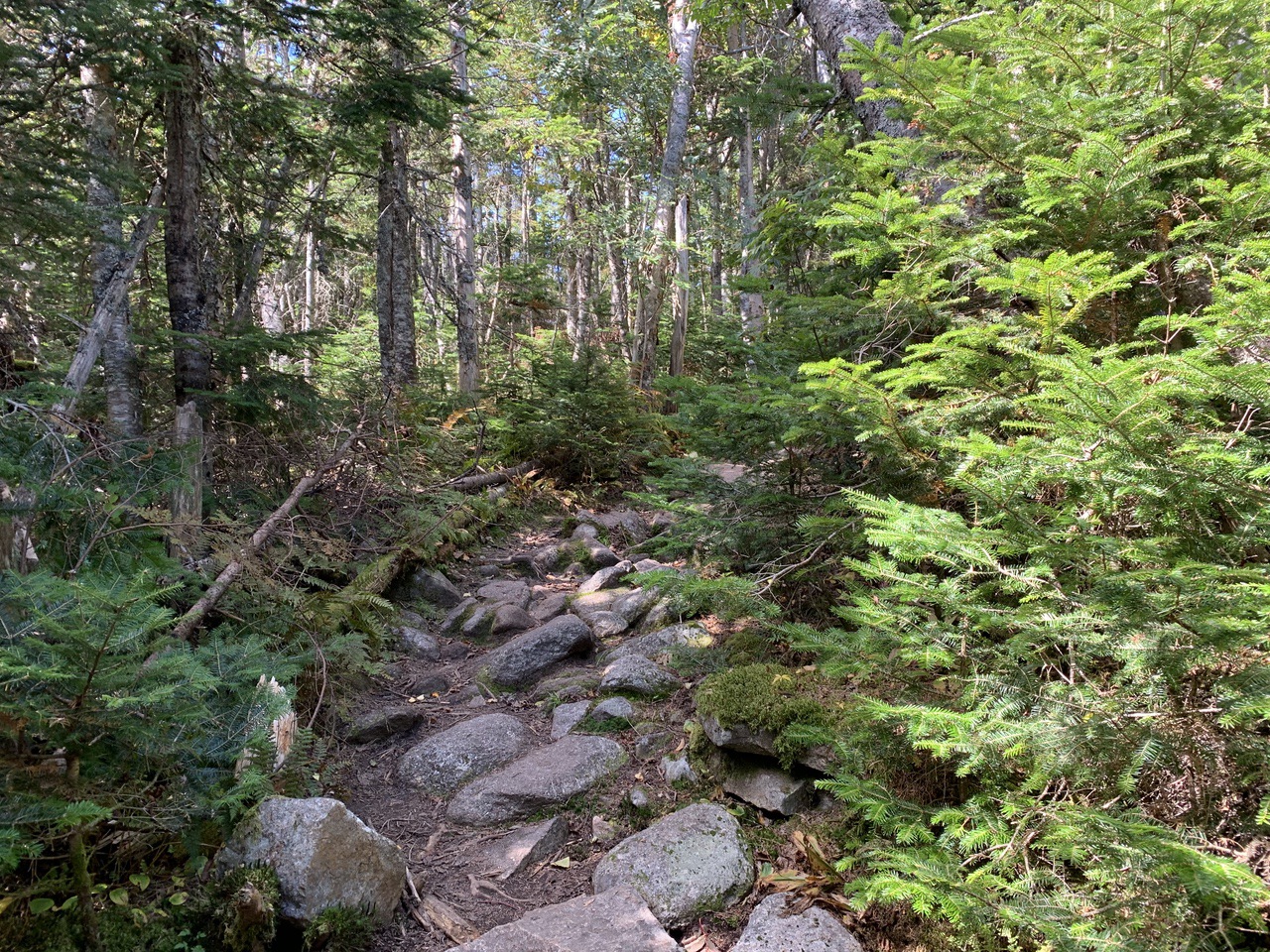
Finally some easing out onto a ridge at about 2 miles.
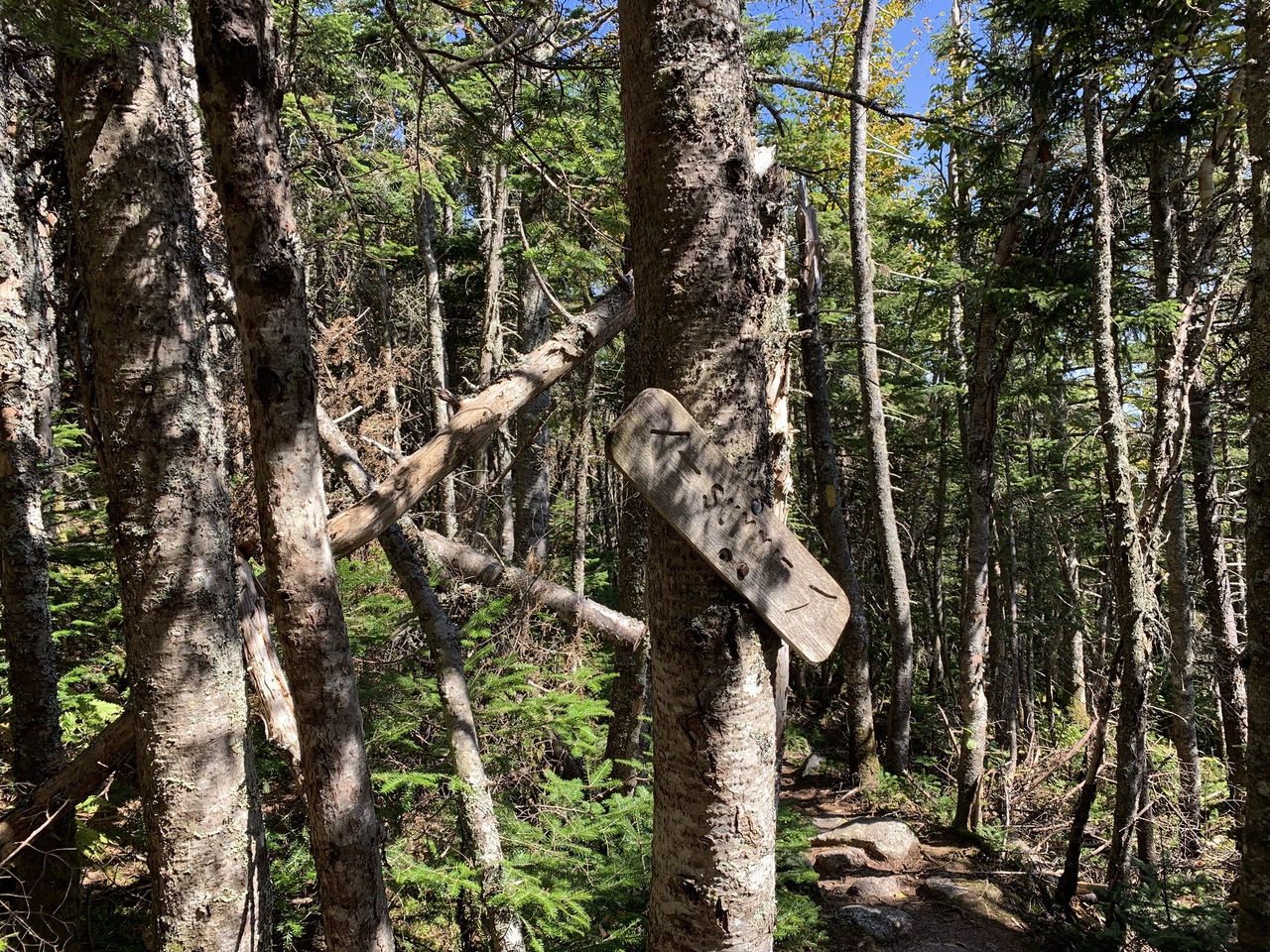
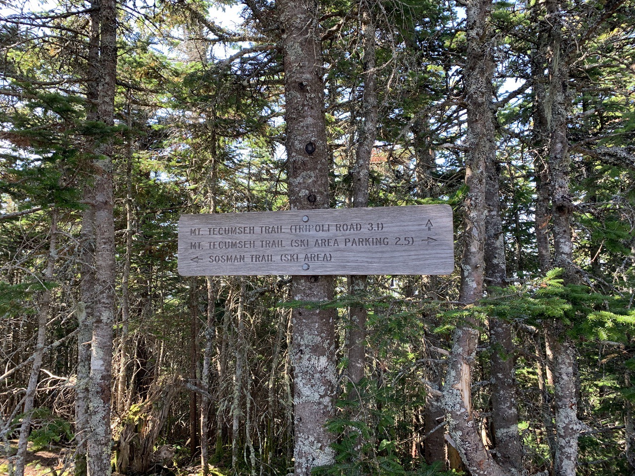
Intersection with Sosman Trail at 2.2 miles (elev. 3800 feet). From this intersection, the Sosman trail goes .6 miles to the top of the ski lift. We did not go. The Sosman Trail joins the Mt. Tecumseh Trail for a short distance.
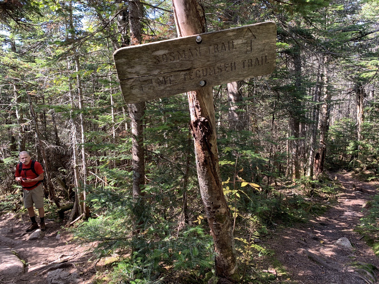
The Sosman then leaves left about a tenth of a mile later and heads up as an alternate route to the summit, coming up on west side, and blazed with blue. The Mt. Tecumseh trail continues straight ahead (continuing with yellow blazes) coming up on east side after walking around the cone. We stayed on the Mt. Tecumseh trail.
There!
Newest survey says 3997 ft, not over 4000 ft. What happens now?
There are a number of ways off the peak — The Mt. Tecumseh trail back the way we came, or continuing on it to Tripoli Road, or down the Sosman trail. We went down the way we came.
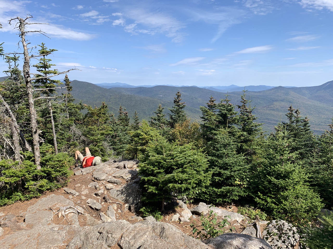
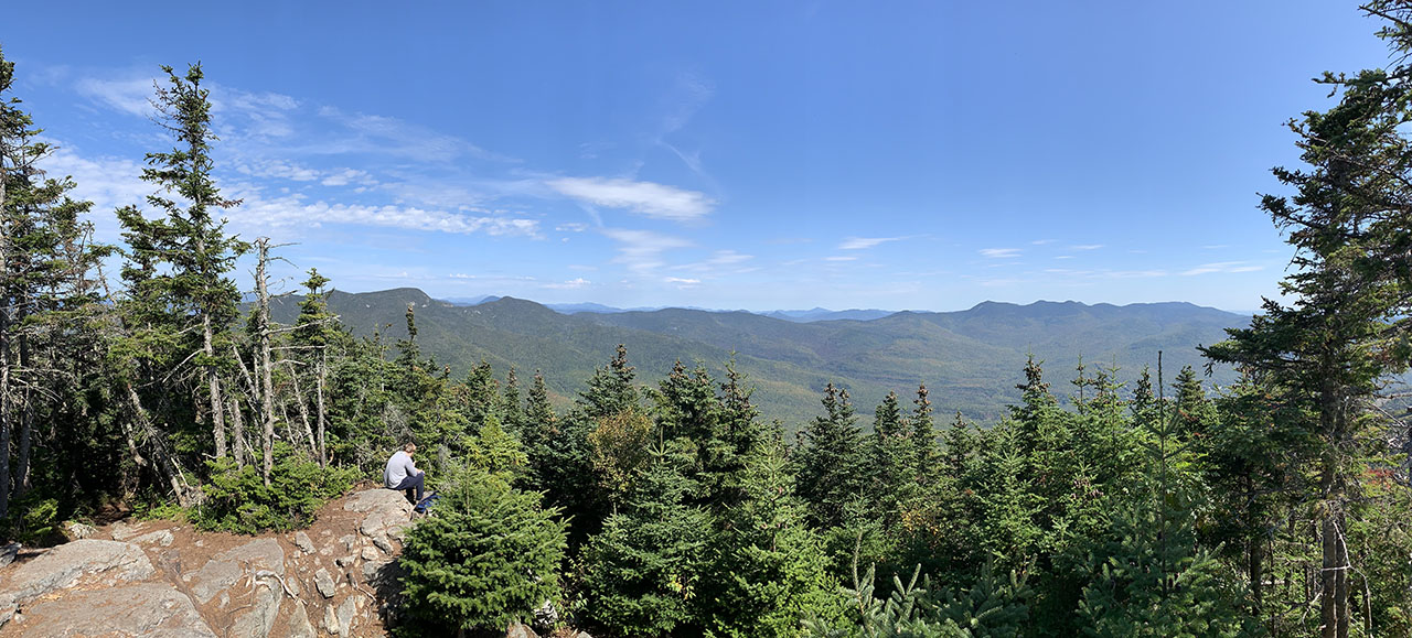
#samberging, with a view to Osceola (the main peak behind the trees on the left in this picture, Tripyramids far right and mostly off this picture, and many peaks in the distance.
Panorama.
A good Google Earth view including the ski trails (note that North is at about 5 o’clock).
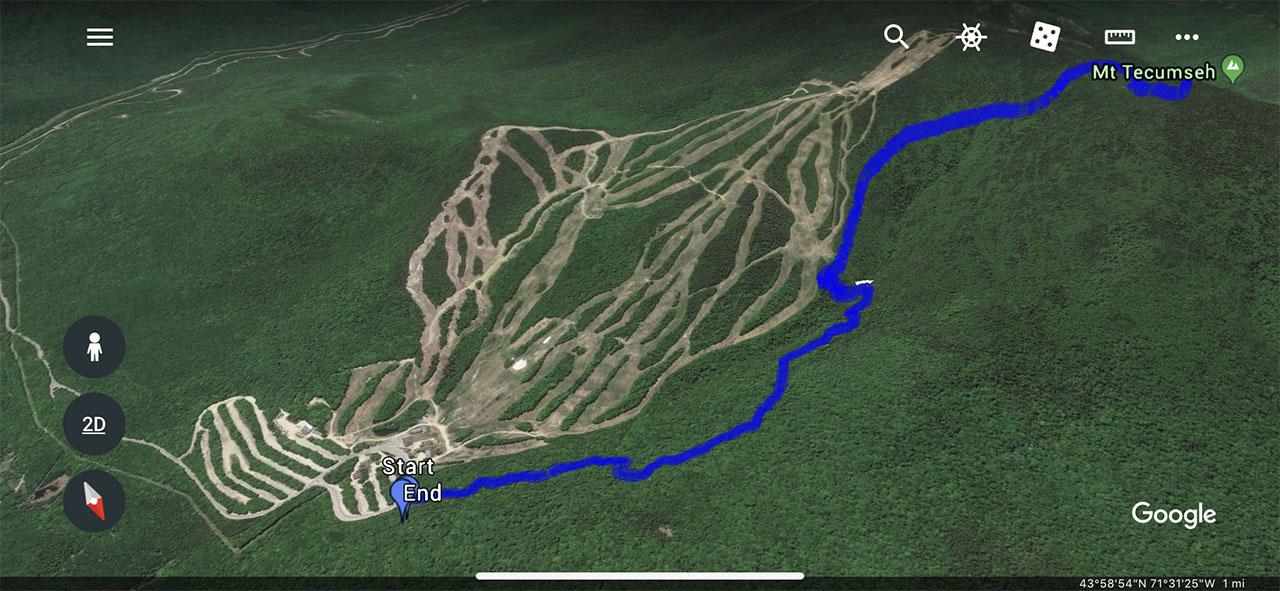
The total hike was about 4.9 miles round trip. It took us about 2:05 going up and about 1:50 going down.
--
Larry and Eileen Samberg


