Pine Flats/Yellow Jacket/Smarts Brook Loop
Saturday, 12-Jun-2021
Tags: NH / Hiking
This is not a trail guide. If you are planning to hike any of these trails refer to a real trail guide such as
(for the White Mountains) the
AMC White Mountain Guide.
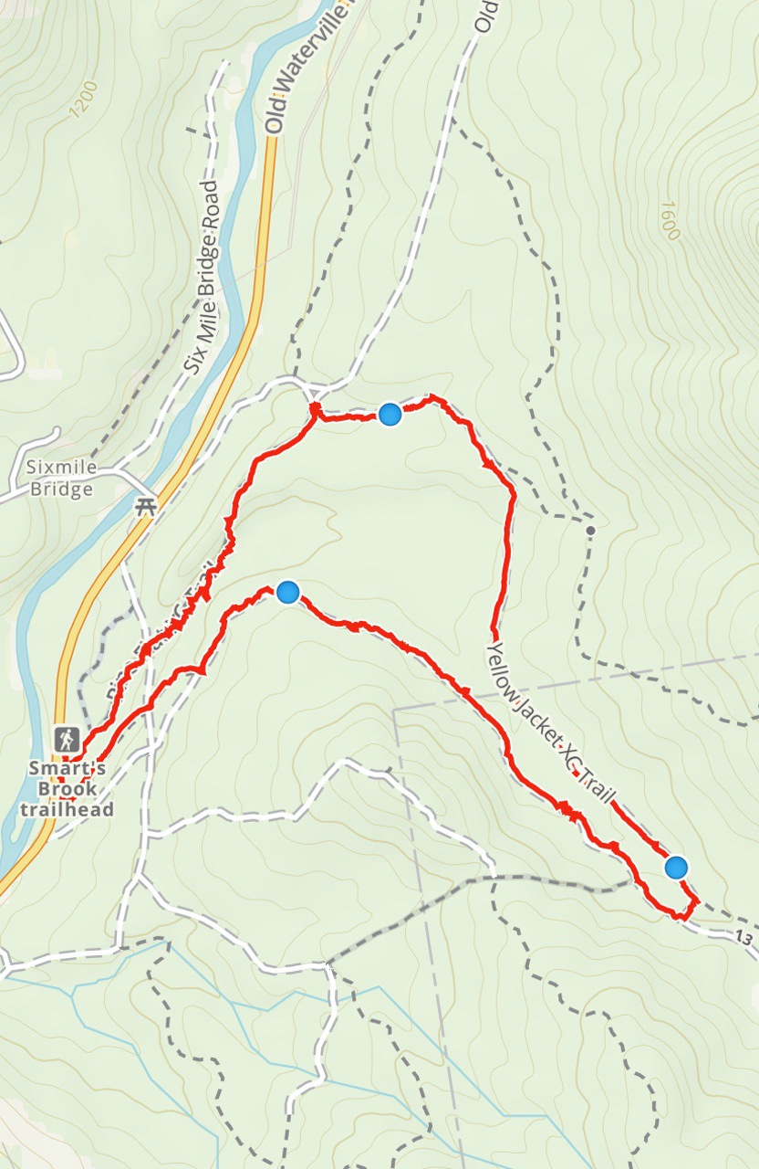
Saturday, 19-Oct-2024 We hiked counter-clockwise taking the Tri-town Trail up and the Yellow Jacket and Pine Flats Trails back.
Friday, 22-Sep-2023 Same hike. No changes to the blog post.
On a beautiful Saturday morning in June, we hiked a 3.7 mile x-country ski trail loop in the Waterville area on Route 49. Eileen was halfway through healing of a broken finger, so an easy day was called for. The loop features a gorge, Smarts Brook, and pretty pines and hardwoods.
The loop starts at the Smarts Brook Trailhead, a turnoff on Rt.49, 4 miles northeast of the stoplight at the Rt. 175 junction in Campton.
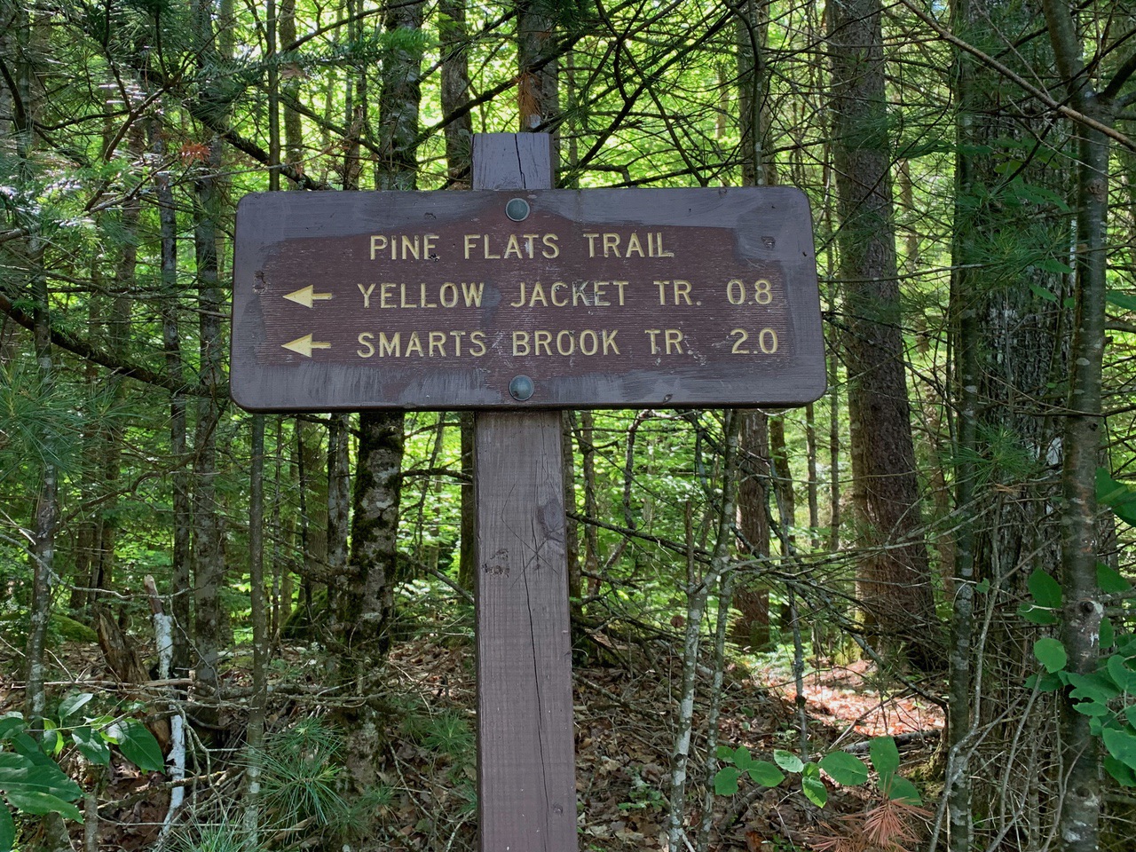
The Pine Flats Trail is an easy 0.8 miles walk with several nice views of the gorge. Its entrance is right at the parking area (the Smarts Brook Trail actually starts a few feet southwest of the lot and after the Rt. 49 bridge). We micro-spiked this in the winter a number of years prior, counter-clockwise rather than clockwise, with gorgeous ice formations of all different colors hanging from the rocks.
Smarts Brook.
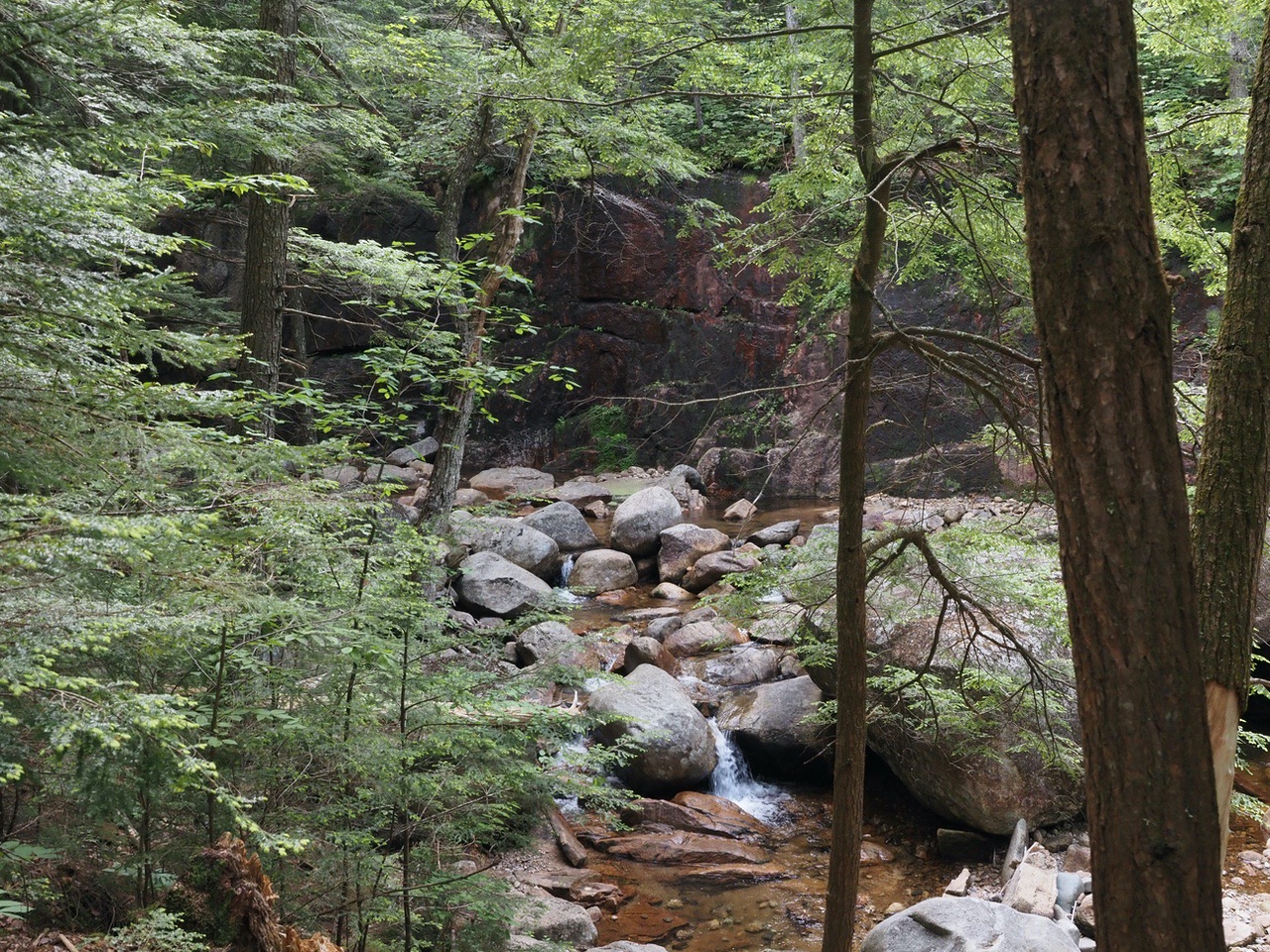
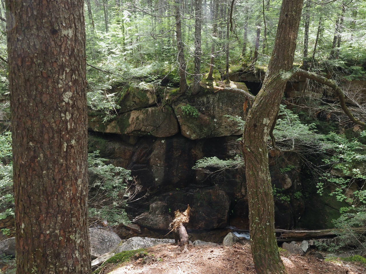
Gorge area.
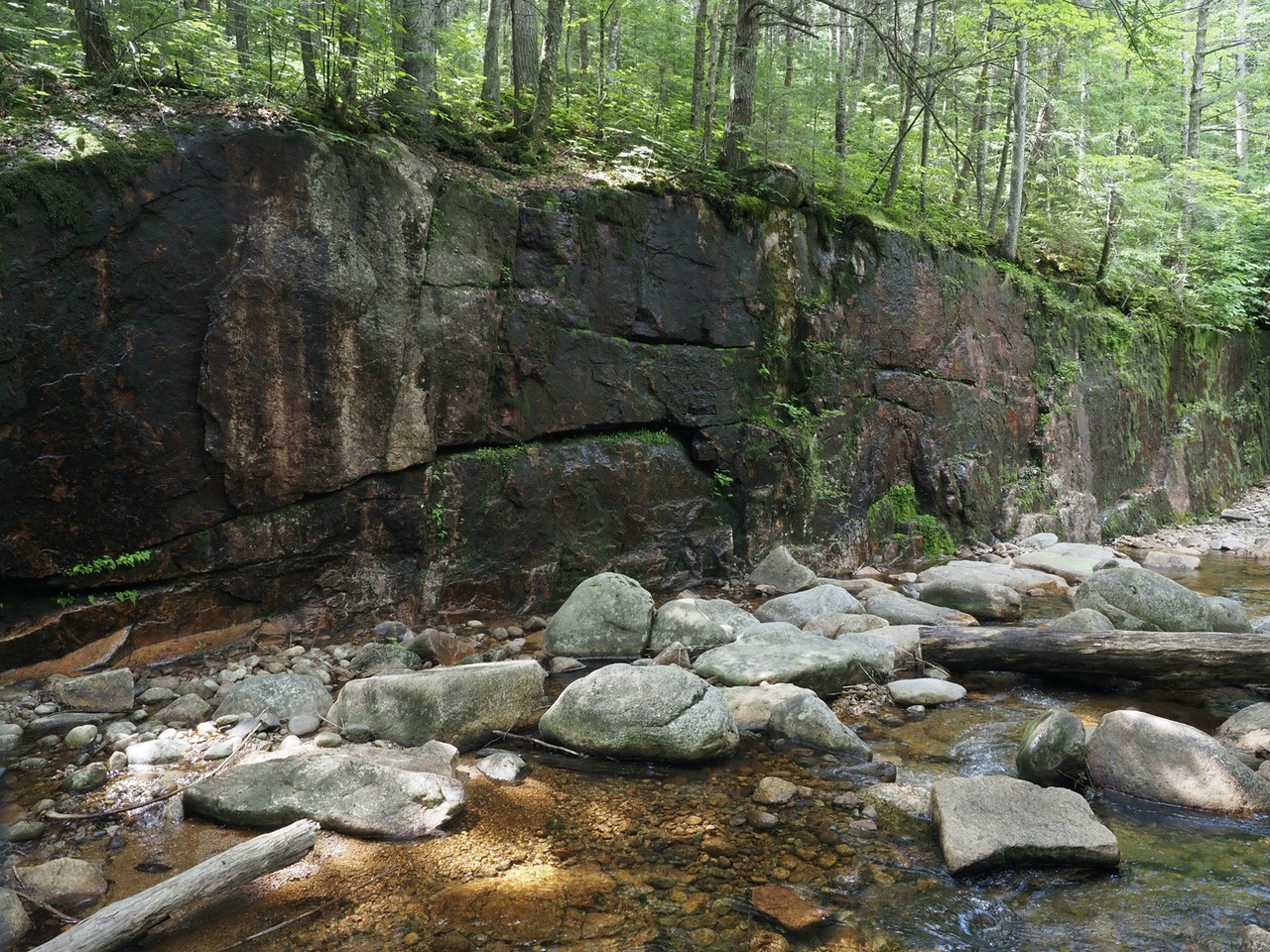
More gorge.
We eventually met the Yellow Jacket Trail and turned right onto it.
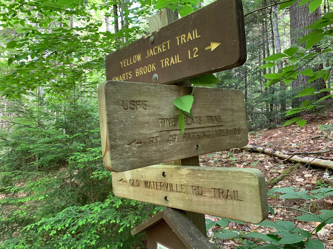
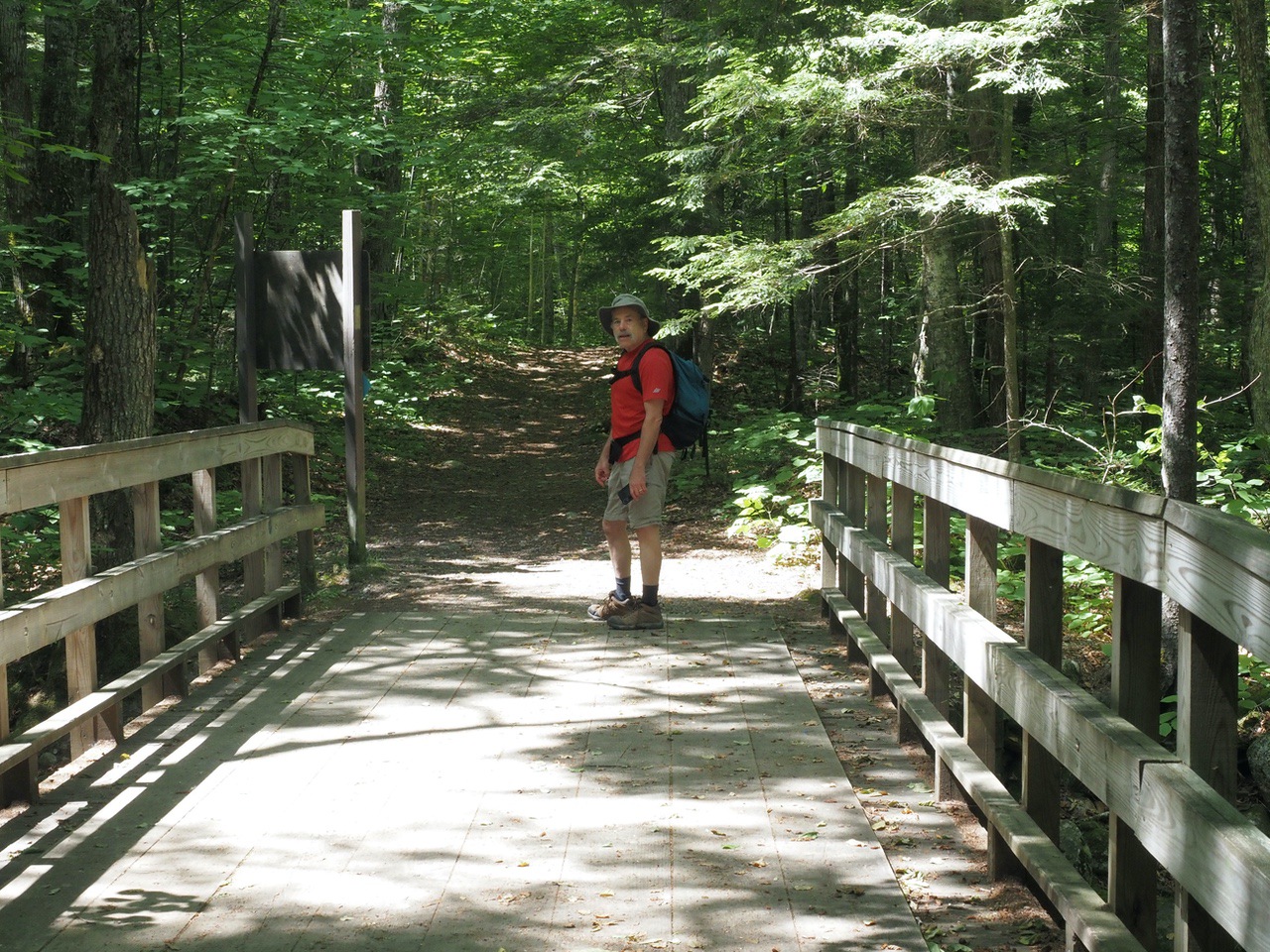
The Yellow Jacket Trail, about 1.2 miles long, links the Pine Flats trail with the Smarts Brook Trail. It crosses a bridge just before meeting up with the Smarts Brook Trail.
We turned right onto the Smarts Brook Trail, which is a WMNF gravel and dirt road at that part of the trail. (Turning left onto the Smarts Brook Trail eventually leads to Jennings Peak and Sandwich Mountain.)
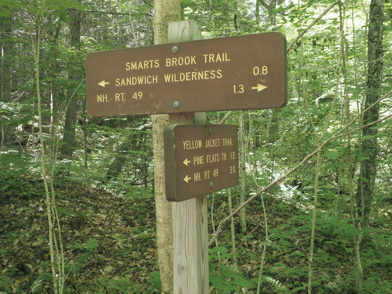
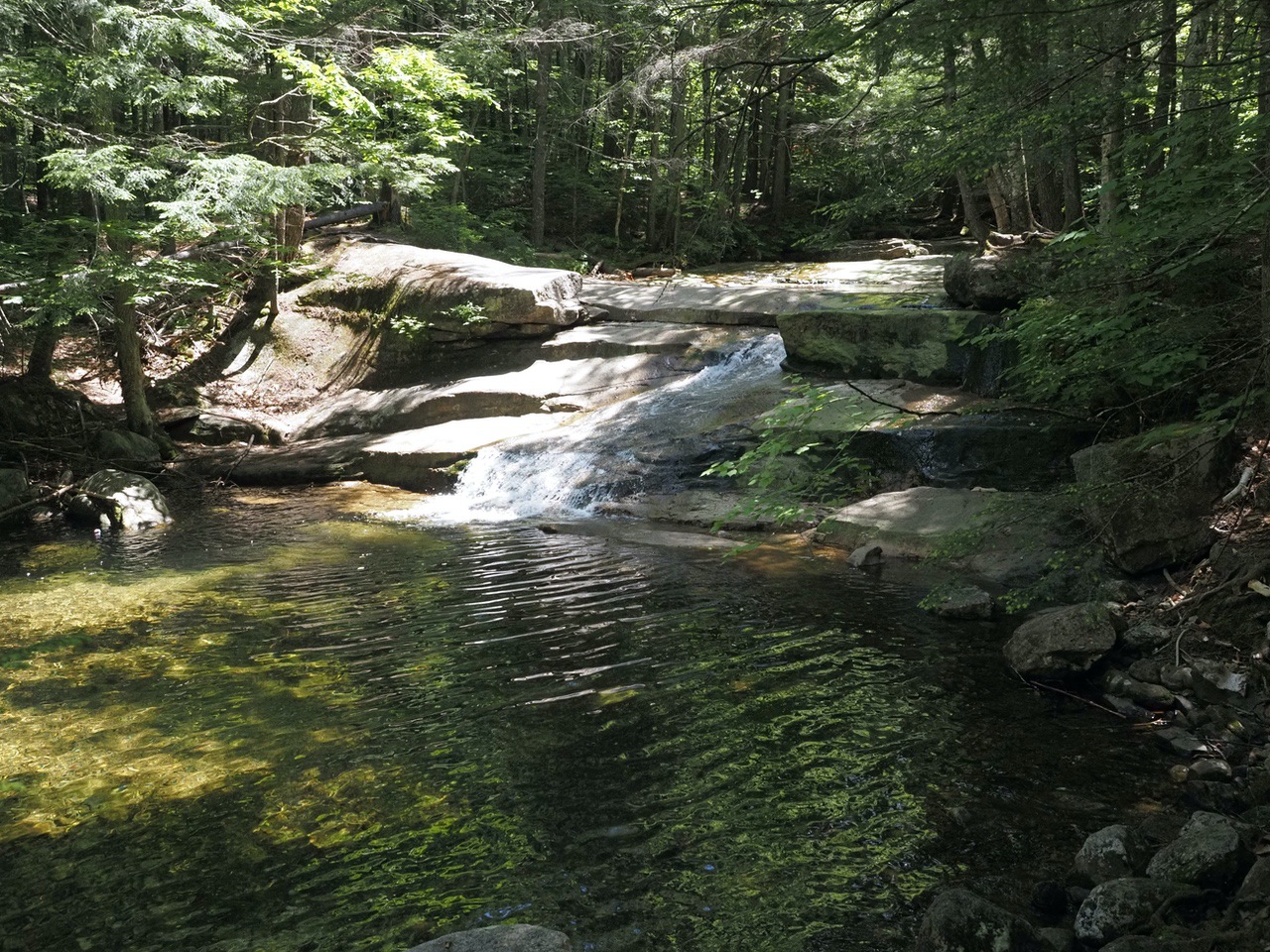
The Tri-Town Trail, which diverges left shortly after turning on the Smarts Brook Trail, also completes the loop, but we opted for the Smarts Brook Trail as we had read there were some nice cascades and swimming holes and wanted to check them out.
Cascade.
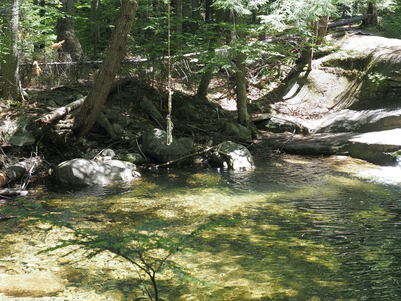
Cascade ends in swimming hole, complete with rope.
Towards the end, there is a split, where the WMNF road continues straight, but the Smarts Brook Trail diverges right to head back to the parking area.
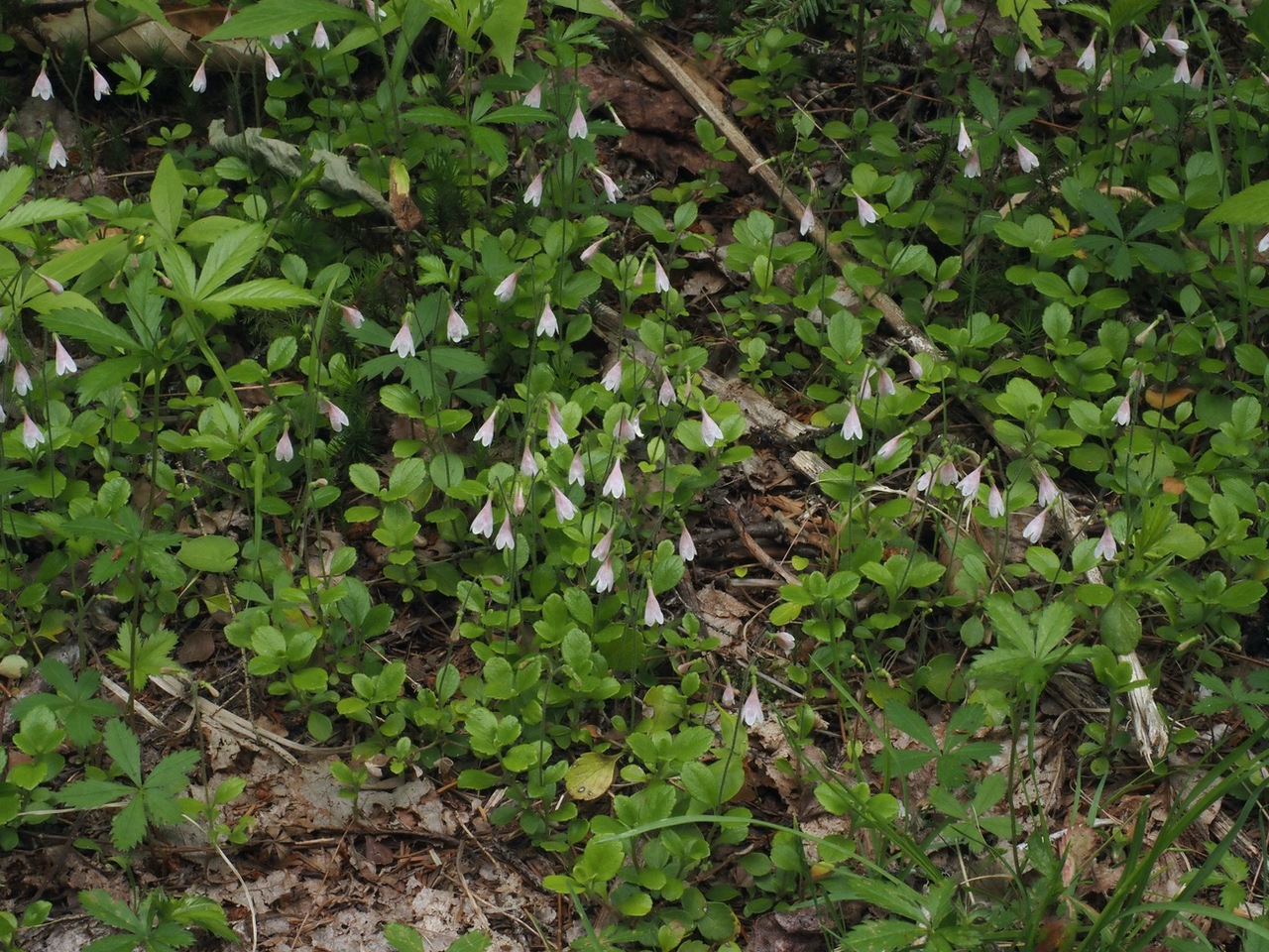
Some pretty flowers along the way, many mid-life, past flower, and not quite bright fruit. However, there were some in flower -- below is twin flower, quite beautiful, with twin flowers on each stem.
Total elevation gain and loss (there were gradual ascents and descents at various points) was about 400 feet.
--
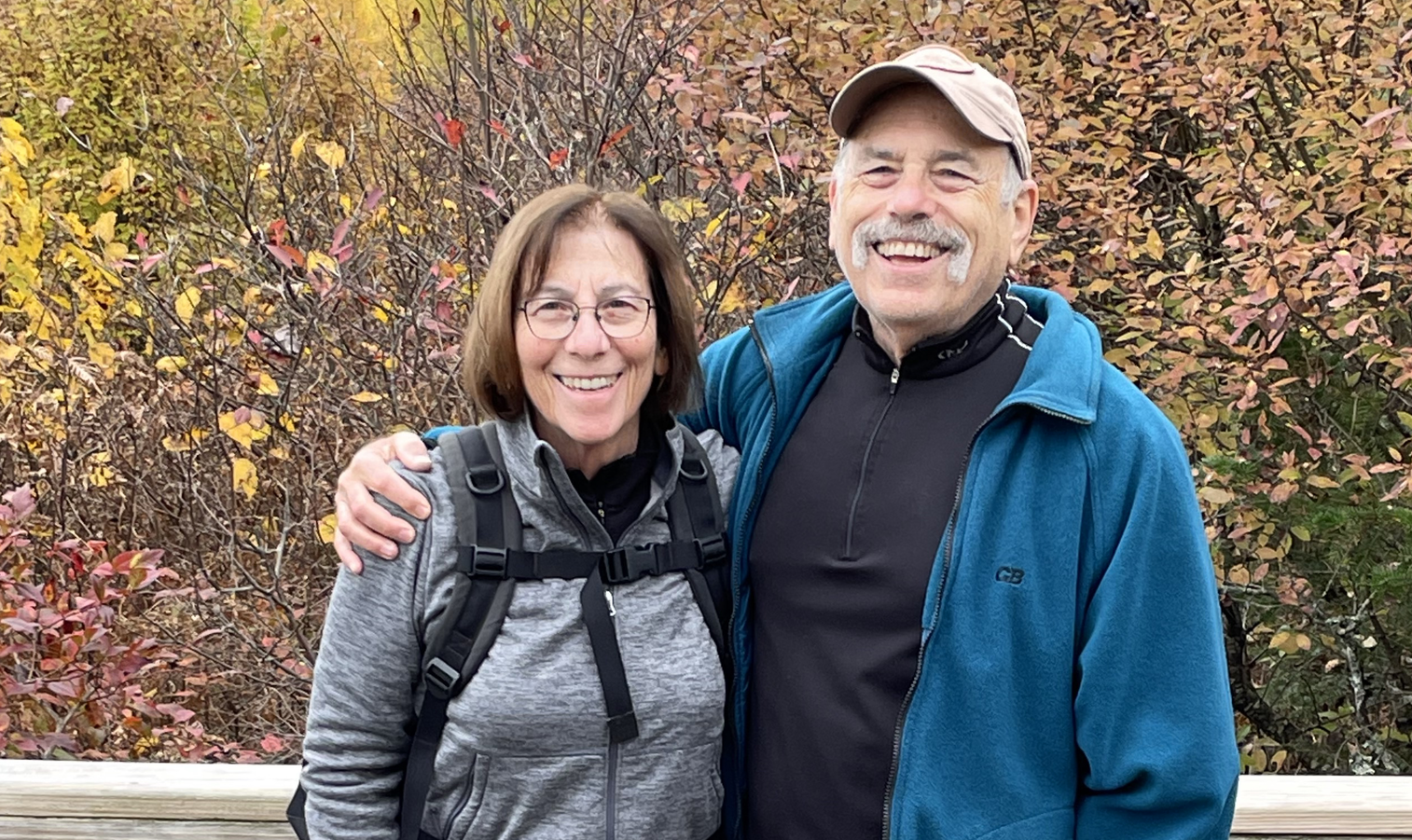
Larry and Eileen Samberg