Pine Mountain in Gorham
Monday, 20-Sep-2021
Tags: NH / Hiking / 52View
This is not a trail guide. If you are planning to hike any of these trails refer to a real trail guide such as
(for the White Mountains) the
AMC White Mountain Guide.
On a beautiful, sunny, almost fall day in September, we hiked Pine Mountain in Gorham –– not a big mountain by any standard, but with amazing views from a southerly ledge near the summit. Pine Mountain is north of the Northern Presidentials, so it provides a view looking “down” towards Mt. Madison and Mt. Washington rather than the more common views from the east or west. Pine Mountain was added to the NH 52-with-a-view list in 2020.
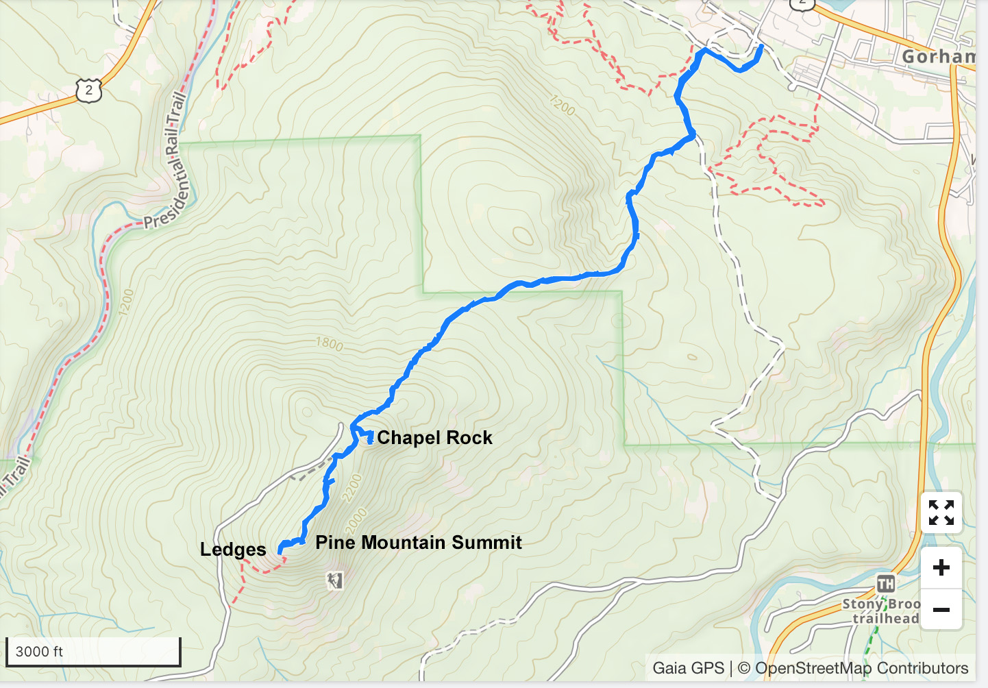
There are two routes to Pine Mountain, one starting from the southwest at the junction of Pinkham B Road and Pine Mountain Road, and one from the northeast from Gorham Rt 2/16. The one from Pinkham B Road is a (lollipop) loop of about 3.5 miles round trip, but with almost 2.4 miles on Pine Mountain Road. The more interesting one from Gorham is an out and back hike of about 5.4 miles round trip, starting at 820 feet and ascending about 1650 feet to the summit, at 2405 feet.
Both of these hikes are longer with the inclusion of a side trip to Chapel Rock, northeast of the summit of Pine Mountain. Some of Pine Mountain, including the terminus of Pine Mountain Road and Chapel Rock itself, is the private property of the Horton Center. The Horton Center, owned and operated by the New Hampshire Conference of the United Church of Christ, operates a youth summer camp each summer, and holds retreats some weekends (check online for dates) during May, September, and October. Hikers can hike up Chapel Rock unless the sign is up across bottom of the stairs at the beginning Chapel Rock trail.
To access the trail from Rt 2/16, turn south onto Church Street, take a right on Promenade Street, drive past the cemetery, and then drive a short way on a narrow, dirt road to the edge of a gravel pit, and park on the left by the trail sign.
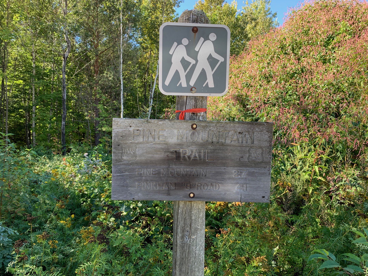
The trail enters the woods, and at .1 miles, turns right onto a natural gas pipeline clearing (also used as a snowmobile trail), with pretty wildflowers on both sides. At another .1 miles, the trail turns left into the woods again.
The trail follows an old road, bearing left at two forks, and at .5 miles, turns right off the road and begins to ascend a ridge. At 1.3 miles, the trail descends briefly to a swampy area with a number spots with logs set vertically or horizontally, and then heads up Pine Mountain itself.
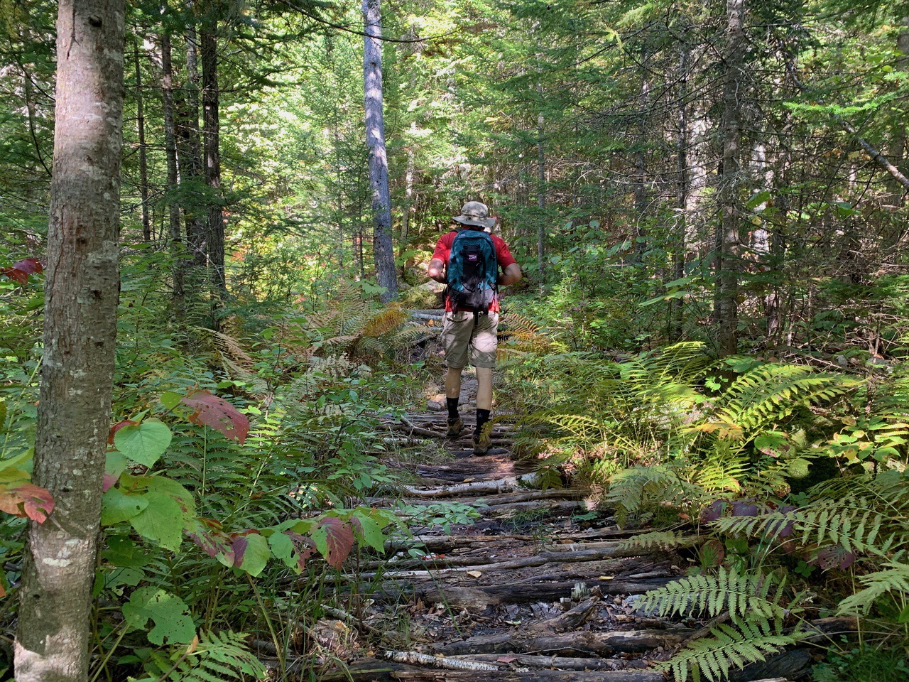
After the swampy area, the trail is steeper in parts than the overall gradual ascent, but much is just pretty forest with a steady but gradual ascent.
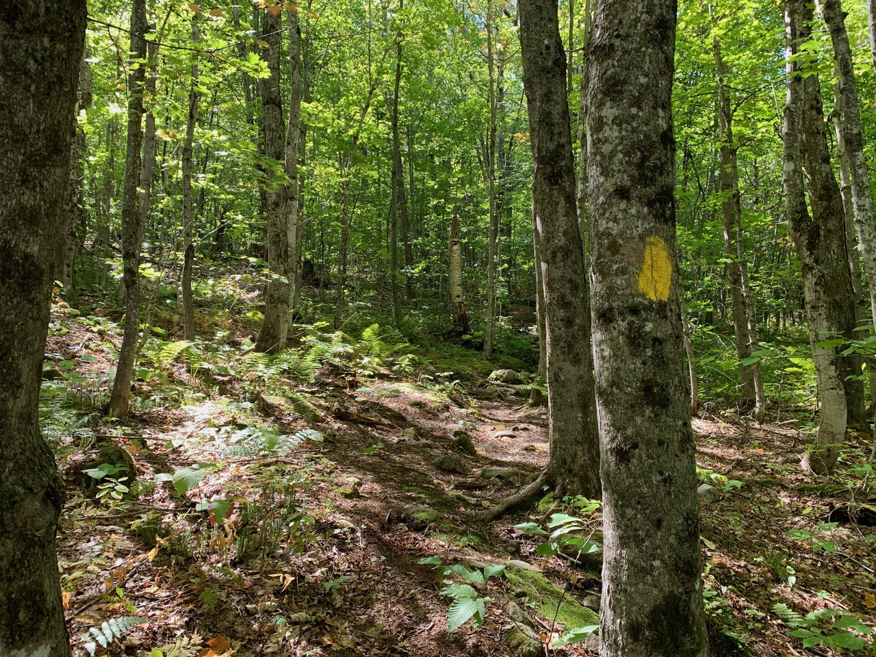
At about 2.3 miles (elevation ≈2230 feet), the trail reaches the sign for Chapel Rock.
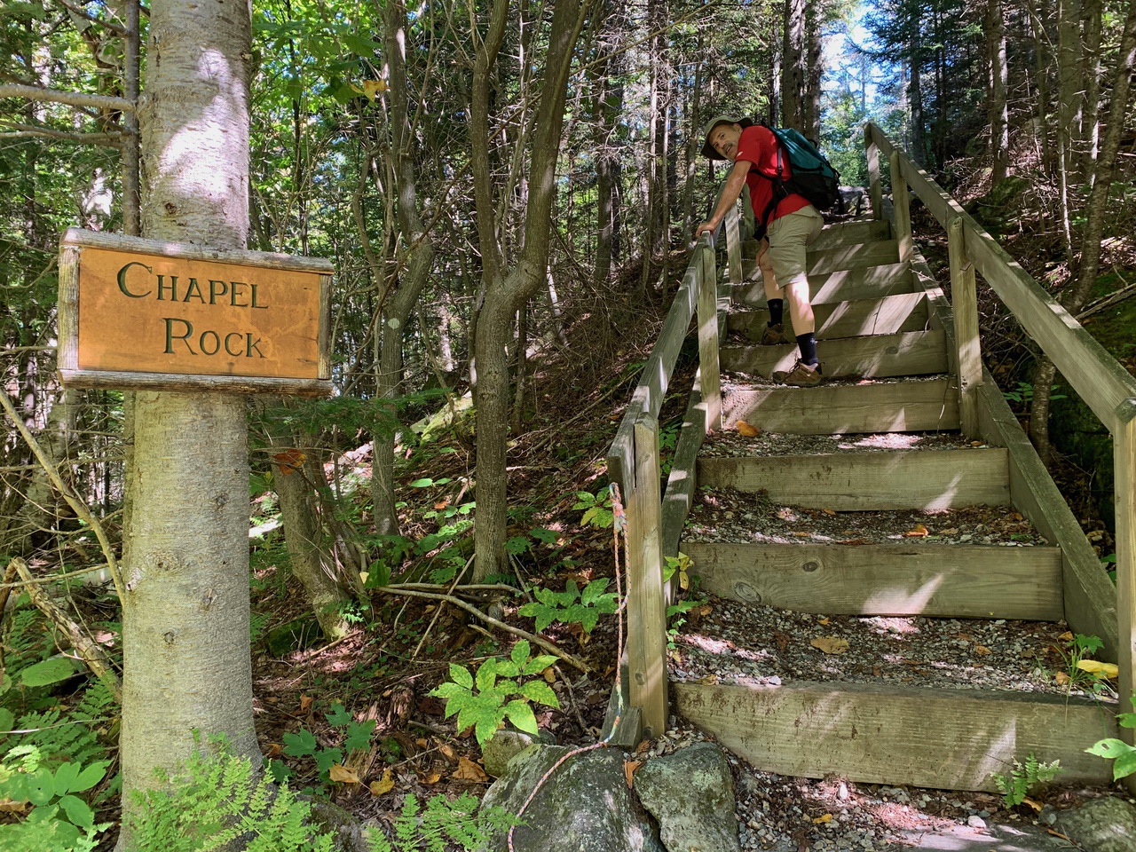
We had checked that there was no retreat in progress -- the path was open to hikers -- and we hiked up the path to the Chapel Rock area. We could see our destination – Pine Mountain – with Madison, Washington, and Wildcat in the background.
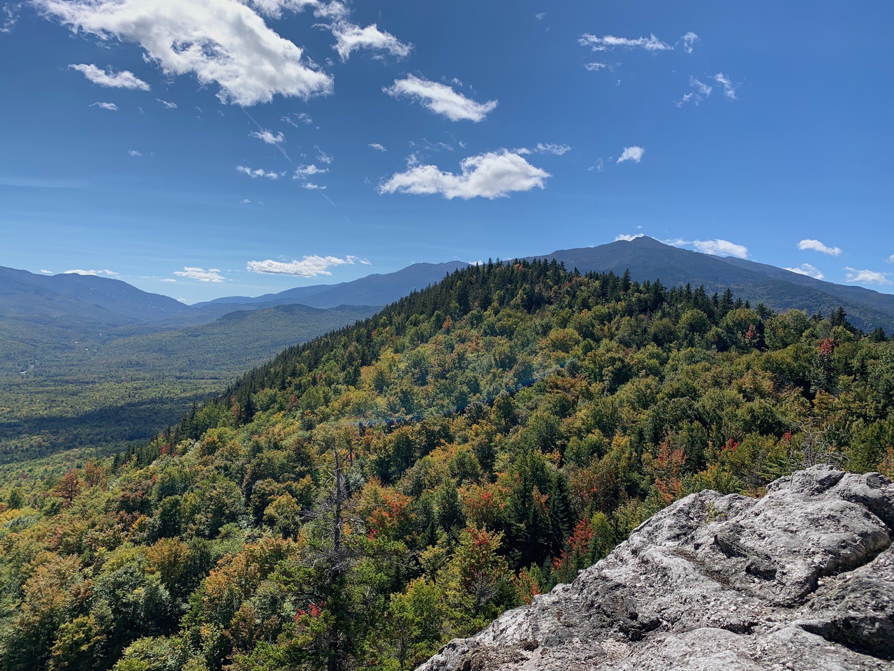
We relaxed, enjoyed the view, ate some lunch, and headed back down to the main trail. The trail follows some overhead power lines briefly on some bog bridges, and then bears right into the woods.
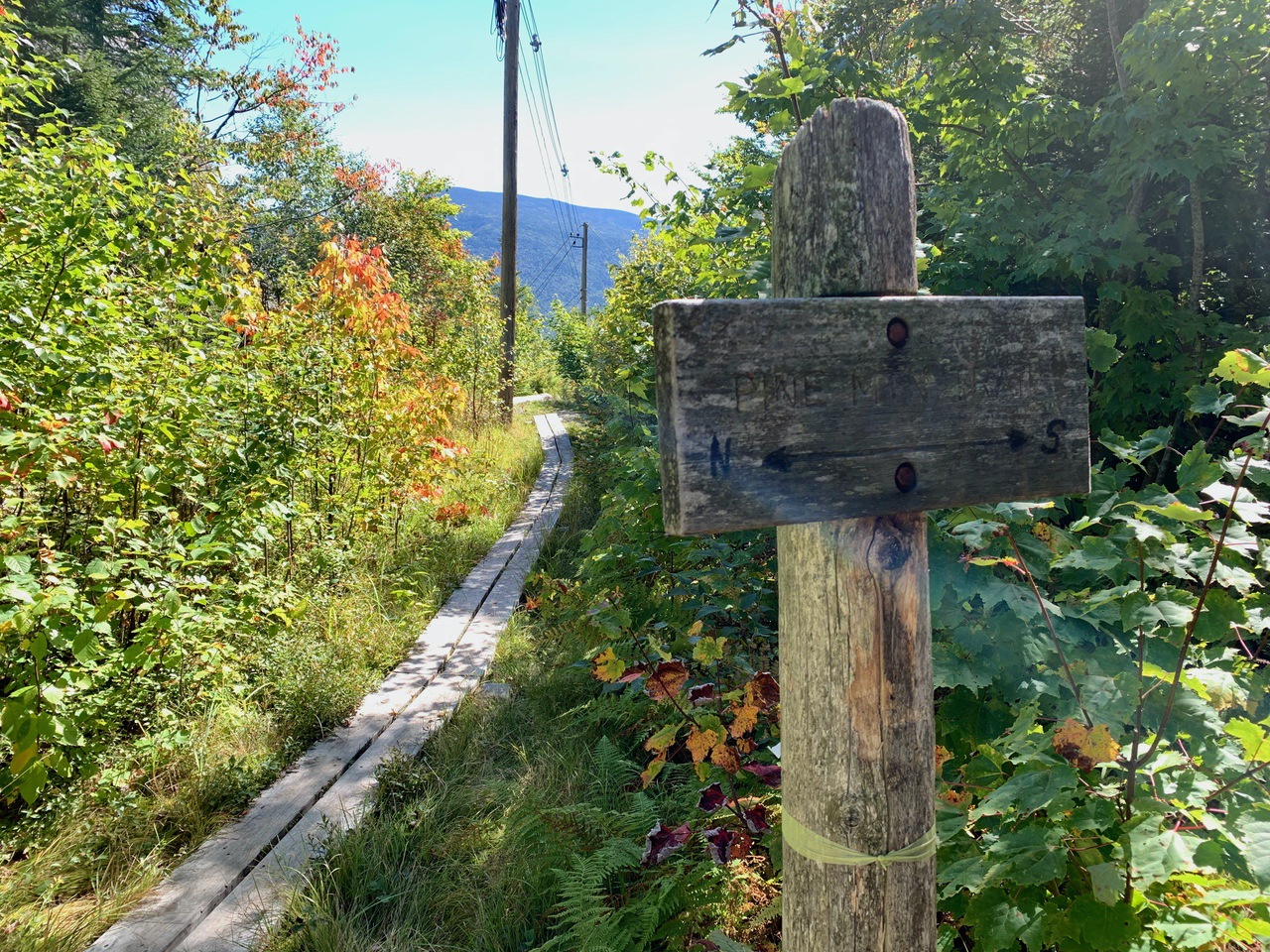
At 2.4 miles (elev. ≈2270 feet), there is a 4-way intersection: Pine Mountain Trail to the summit; Pine Mountain Trail Loop Trail back to the road (part of the other route), bypassing the Horton Center; and the private path to the Horton Center. We headed up the Pine Mountain Trail, the left-most path.
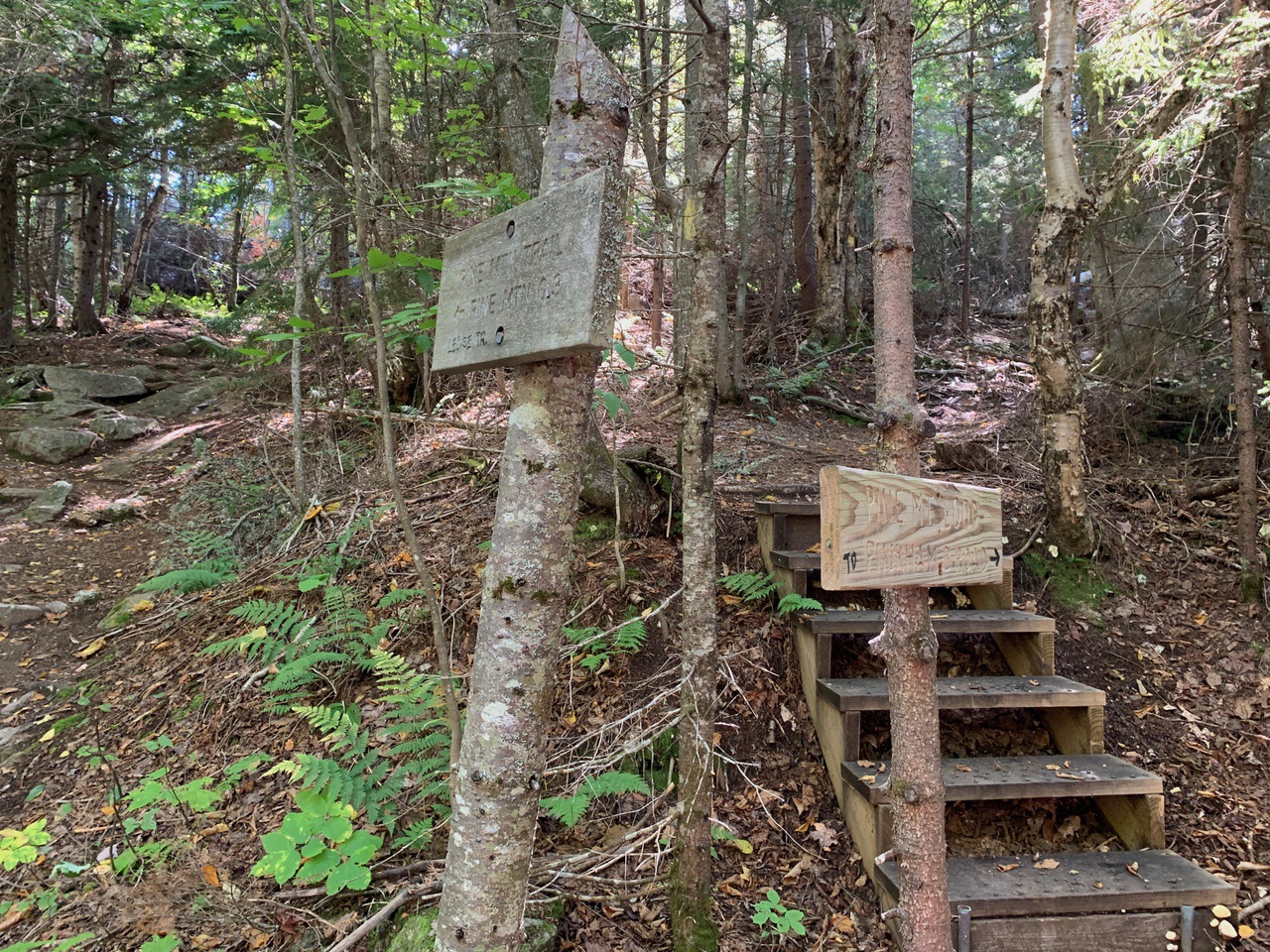
The trail leads another .3 miles to the wooded summit of Pine Mountain, at 2405 feet, with three signed paths left to eastern outlooks along the way. The first is the Chapel view, with a good view of Chapel Rock and Gorham. This outlook also featured a wood lean-to shelter and a wood bench.
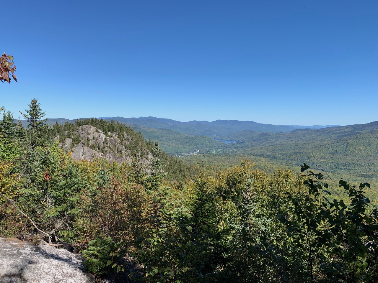
The summit, with footings left from a fire tower, is viewless.
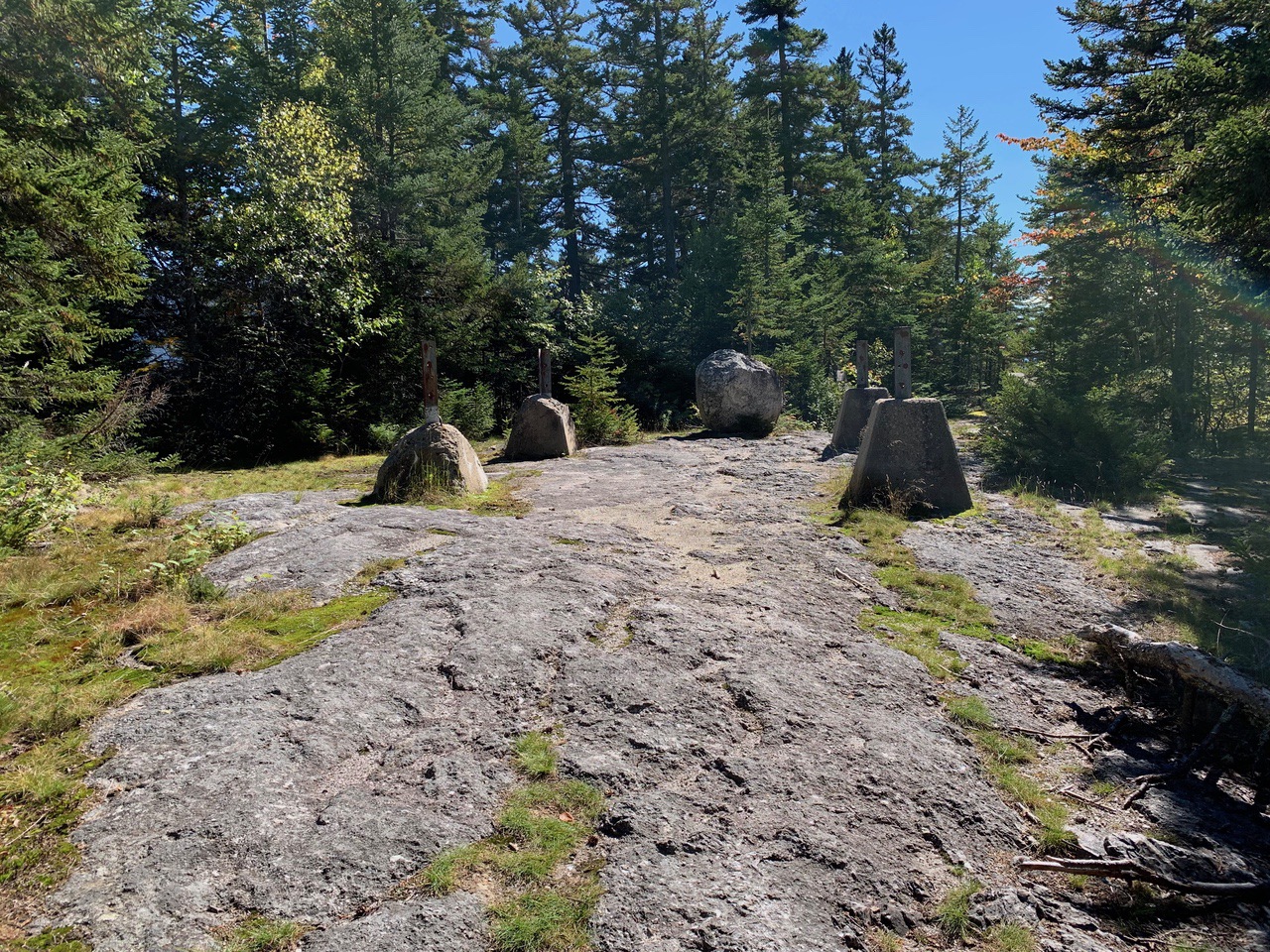
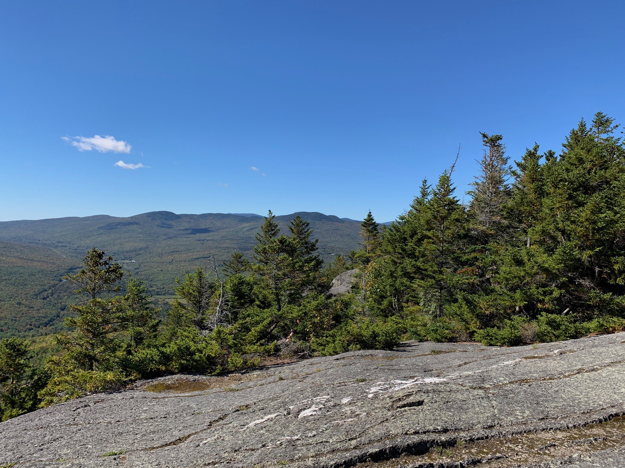
At this point, the Ledge Trail continues down, and at .1 miles from the summit, open to a wide ledge with the widest and best views of the day -- Moriah, Carters, Wildcats, Washington, Madison, and even a good peek at the North Country.
Edge of Moriah and the Carter range.
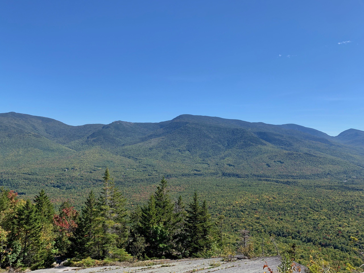
The Wildcat range (including the ski area) in the center.
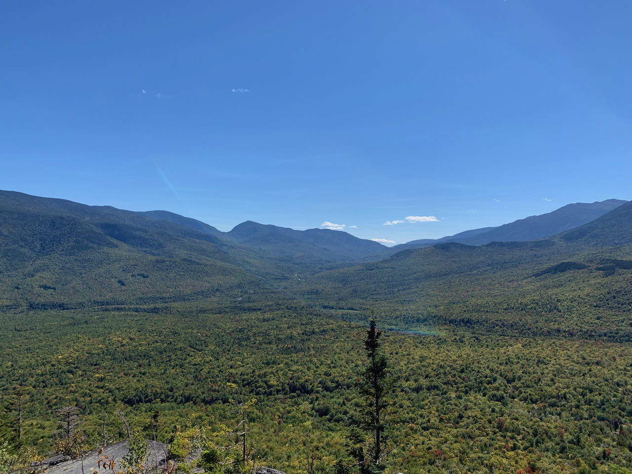
Madison in the foreground, with Washington behind to the left.
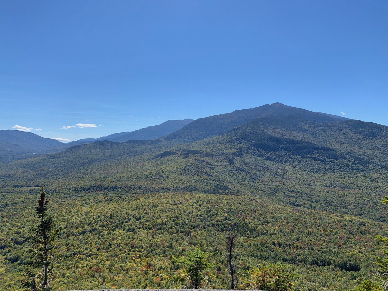
Panning as far as possible, we could see part of the North Country.
After relaxing once again, we headed back the way we came, skipping the overlooks and Chapel Rock, exactly 2.7 miles from Pine Mountain Summit. Our total trip was 6.1 miles, and with two long breaks, was 5 hours and 18 minutes, with total ascent 1699 feet.
The trail is easy to follow, good signage, with scattered yellow blazes. The second half leading to the summit has more blazes, as the path is a little less obvious in places.
--
Larry and Eileen Samberg


