East Pond
Sunday, 16-Aug-2015
Tags: NH / Hiking
This is not a trail guide. If you are planning to hike any of these trails refer to a real trail guide such as
(for the White Mountains) the
AMC White Mountain Guide.
Thursday, 21-Sep-2023 Hiked to East Pond and back (didn't go over to Little East Pond). No changes to the post. Due to all of the rain this summer the trail was a bit wetter and muddier (in spots) than noted in the post.
We were looking for a mild hike today. Often we will hike up to Lonesome Lake for an easy day, but we wanted something new and, preferably, less crowded. This hike did the trick. It was a rather easy hike, a bit under 5 miles total, and it included a loop (which is an advantage over the
Lonesome Lake hike which is just up and back). There are no steep climbs and most of the hiking is in the forest and shaded, which was great on a hot day.
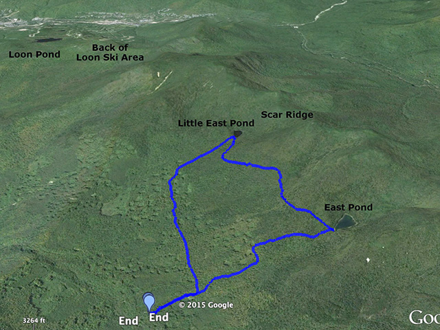
East Pond and Little East Pond are in the area on south side of the Scar Ridge, which is the series of minor peaks that runs from Mt. Osceola to Loon Peak (sort of along the south side of the Kangamagus Highway. The East Pond trail runs (north-south) from the Kancamagus Highway to Tripoli Road. We started at the Tripoli Road end since it is a shorter and easier hike. The trail starts on a gravel side road off the north side of Tripoli Road about 5.1 miles from the I93 exit. Note that only the first 2 miles or so (up to Russell Pond) are paved.
Here is the trailhead sign at the turnoff from Tripoli road. The book indicates 5 miles for the loop (not related to the 5 miles to the Kanc shown on the sign), but they start counting at Tripoli Road and we started at the actual trailhead. Our hike came in at 4.8 miles.
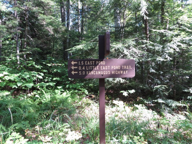
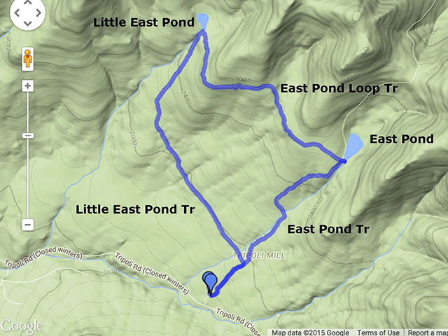
The first part of the hike is a 1.2 hike up to East Pond. At about 0.3 miles you reach the junction with the Little East Pond trail (sign). You need to make a decision to either go straight and stay on the East Pond trail and do the loop counter-clockwise, or go left on the Little East Pond Trail and do the loop clockwise (obviously you don’t have to do the loop, you can just go up to the respective pond and come back). We decided to stay on the East Pond trail.
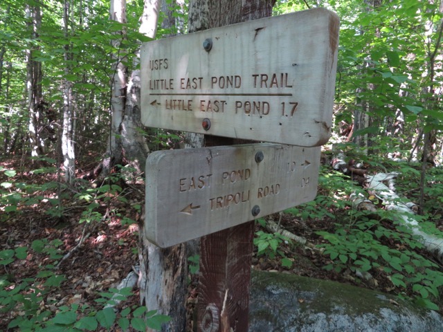
The East Pond trail climbs mildly but steadily from this junction to East Pond, about 1 mile climbing a bit under 600 feet of elevation. The footing is easy, and since this is not a heavily hiked trail, the surface was in good shape. The only real notable milestone is a crossing of East Pond Brook over a wooden snowmobile bridge at about 0.7 miles from the real start of the hike.
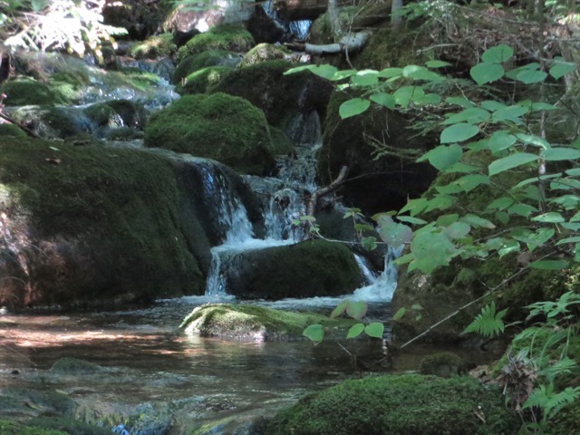
Pretty water along East Pond Brook.
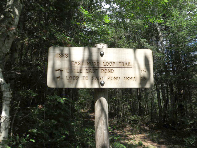
At the junction with the Little East Pond Loop (left) Trail, the East Pond Trail continues straight ahead along the west side of East Pond, and East Pond itself is a short side trail to the right.
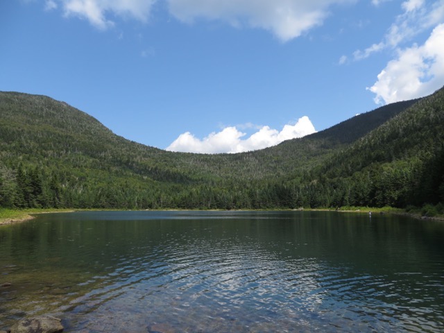
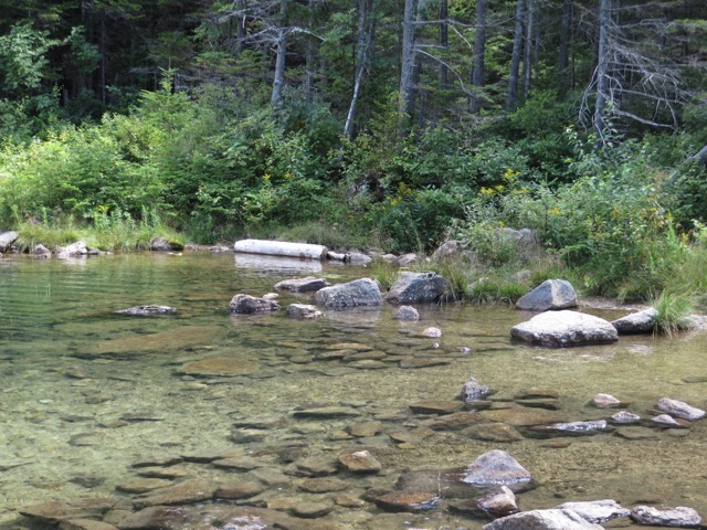
East Pond is very pretty and serene. There were two small groups of people including a few young kids playing in the water. There was also a solitary fly fisherman. We relaxed at the Pond for a while and had a snack. The East Pond Trail that heads north to the Kanc goes through the saddle in this picture.
Then we headed along Little East Pond Loop Trail to Little East Pond. This was about 1.5 miles but almost flat (pretty much follows the 2600 foot contour on the map).
Little East Pond didn’t have any open areas to sit and relax like East Pond, it was pretty wooded/boggy all around. But again, serene and pretty. There were frogs and huge dragonflies were zipping all around. Here is a nice view of Scar Ridge looking north.
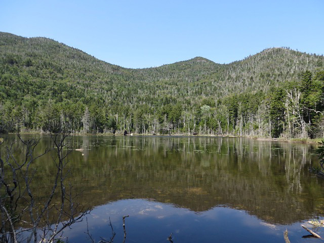
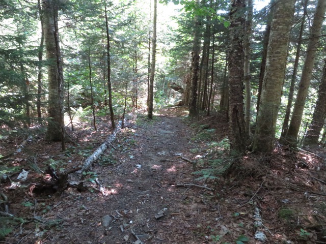
After a few pictures we headed down the Little East Pond Trail. This is about 1.7 miles back down to the original intersection with the East Pond Trail. The Little East Pond Trail was a bit wetter than the other trails, with a few muddy areas (mostly traversed on log bridges). But most of the trail was pretty dry except where we crossed wet areas with little rivulets of water running down into Little East Pond Brook. Here’s a nice wide dry spot.
There were two meaningful brook crossings. We crossed Clear Brook at 3.9 miles (about 1.1 miles from the “little” pond). We found some rocks to cross on pretty easily (but this is mid-August). At about 4.4 miles (about 1.6 miles from the “little” pond) we cross East Pond Brook. This also took a small amount of rock hopping but was pretty easy this time of year. (Note that we crossed East Pond Brook on the way up on a snowmobile bridge).
Pretty water at the Clear Brook crossing.
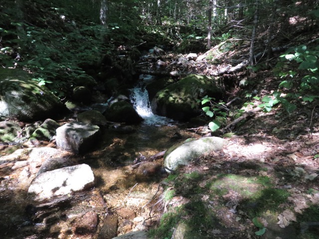
About 0.1 mile later we were back at the junction with the East Pond Trail and the loop was complete. We just headed down the 0.3 miles back to the car. The entire hike took about 3:15 including a 20-30 minute stop at East Pond, about 10 minutes at Little East Pond, and a lot of stops for picture taking. The trailhead was at about 1860 feet of elevation, and the highest point of the hike was at 2700 feet, so there was less than 900 feet of climbing.
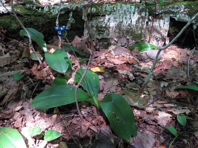
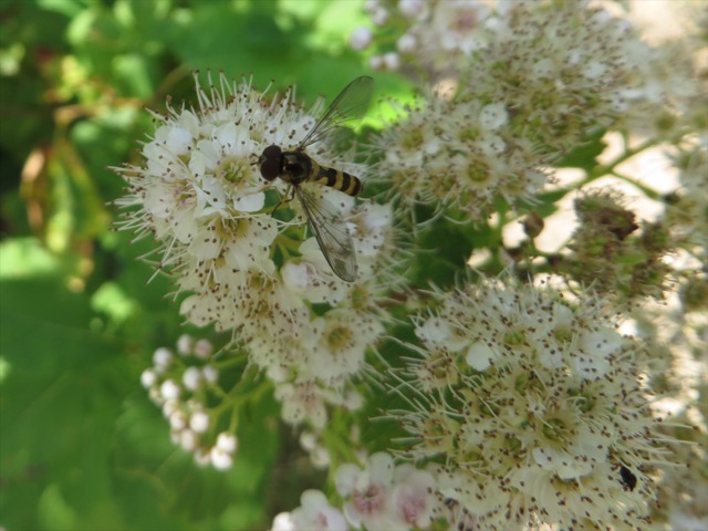
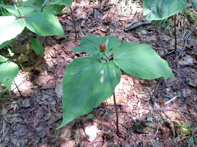
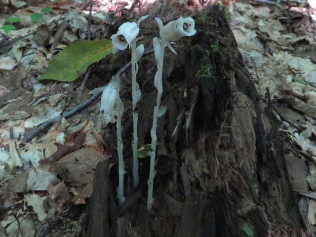
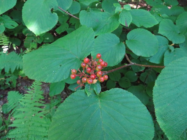
Some nice flowers along the way: Blue-bead lily, Meadowsweet, Trillium, Indian Pipe, Hobblebush with berries reddening up.
--
Larry and Eileen Samberg


