Lonesome Lake (Franconia Notch)
Sunday, 14-Sep-2014
Tags: NH / Hiking
This is not a trail guide. If you are planning to hike any of these trails refer to a real trail guide such as
(for the White Mountains) the
AMC White Mountain Guide.
Sunday, 29-Dec-2019 Hiked to Lonesome Lake on microspikes. No updates to the post.
Saturday, 24-Sep-2016 Hiked to Lonesome Lake. Added a few pictures to the post.
Lonesome Lake is a pretty tarn that is between Cannon Mountain and the Kinsmans (sort of directly below the Cannonballs).
It is a relatively easy hike, about 1.6 miles long (3.2 miles round trip) with an elevation gain of 1000 feet). It is one of our regular hikes, we get up there almost every year. The AMC “book time” is about 1:20 each way (although we pushed hard today and got there in 47 minutes).
The hike starts at the parking area at Lafayette Place campground on the west side of I93 (elev. 1800 ft). To get to the parking lot if you are heading up from the south, you have to all the way up to the Cannon Tramway exit, and then get back onto I93 south. The whole trail was a bit more washed out than we remember — we suspect that is due both to weather and heavy foot traffic.
You walk through the campground and the real start of the Lonesome Lake trail is at the top edge of the camp.
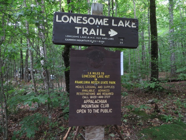
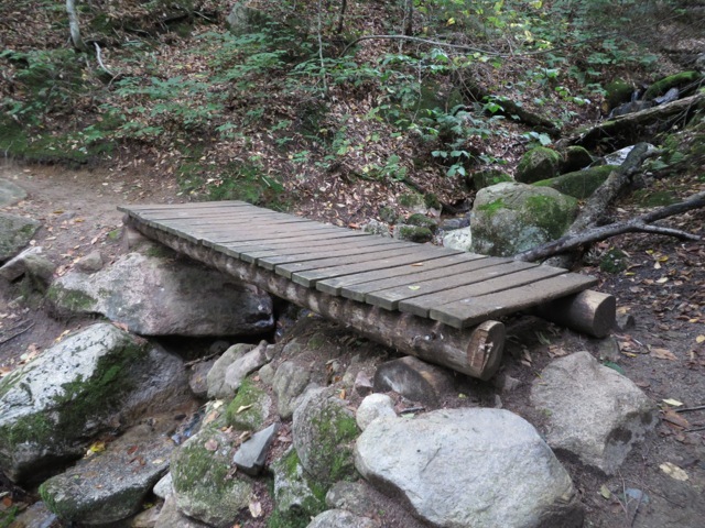
The trail climbs at easy to moderate grades for about 0.65 miles (elev. 2100). This includes a few water crossings, two on small bridges and one easy one without a bridge.
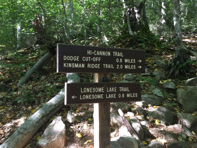
At 0.4 miles, the Hi-Cannon Trail leaves right (updated September 24, 2016).
updated September 24, 2016
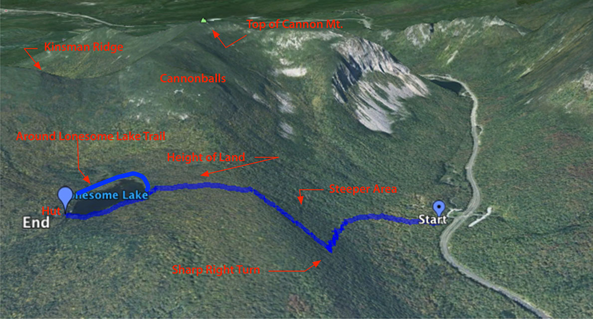
At 0.65 miles in, the trail turns sharp right (called a switchback) and gets a bit steeper.
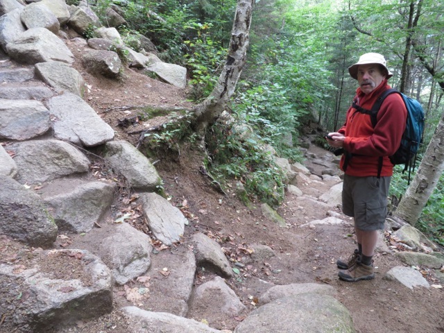
The trail does another switchback slightly to the left.
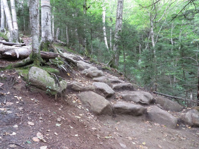
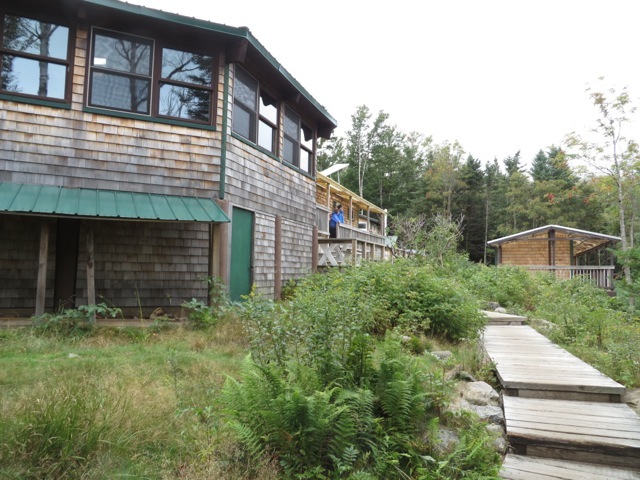
The trail continues to the height of land at about a mile, flattens out and then descends to the lake almost directly across from the Lonesome Lake Hut (AMC) at 1.2 mi. There are lots of trails in this area.
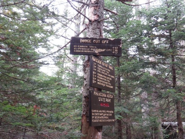
At this point you can turn left and go around the lake clockwise or go right and go around counter-clockwise. We usually go left (and then continue the circuit later, see below).
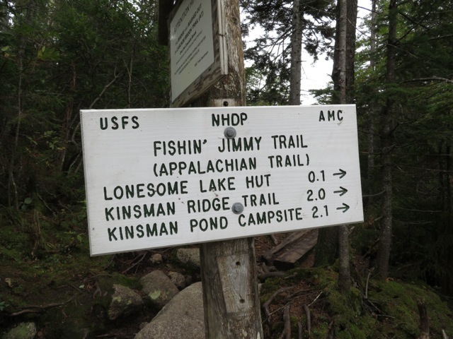
You actually are on three different trails to get to the hut: you leave Lonesome Lake Trail at the signs, get on Cascade Brook Trail, and just before the hut, onto Fishin’ Jimmy Trail.
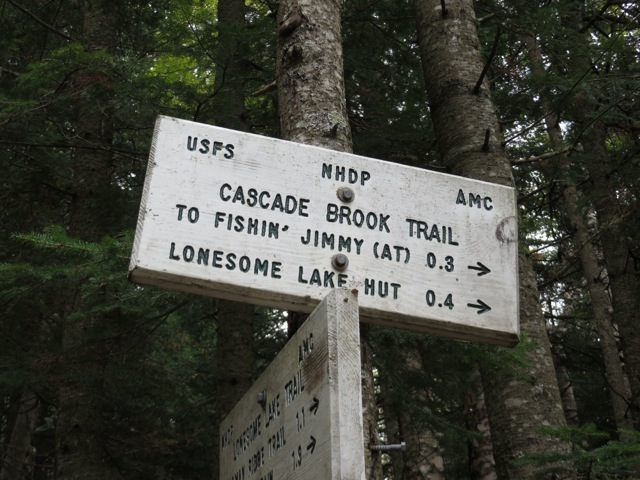
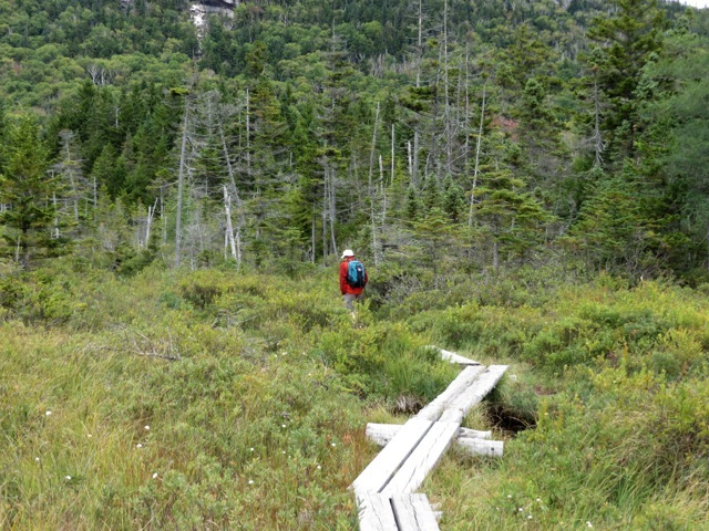
The hike to the hut is flat (about 0.4 miles) but the area is very wet and muddy. Thankfully there are lots of wooden plank walkways so you don’t actually have to get mud on your boots :)
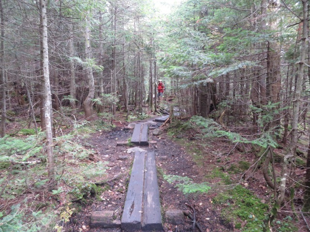
Just before the hut, we switch to the Fishin’ Jimmy Trail.
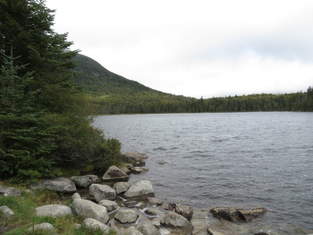
The lake and the hut. Normally you can get a nice view of the Franconia Ridge, but the low clouds obscured them today.
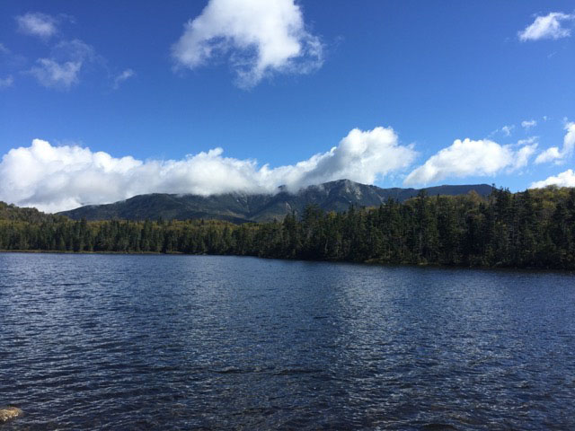
Franconia Ridge, a mostly sunny day, but with some white clouds obscuring the peak of Lafayette.
updated September 24, 2016
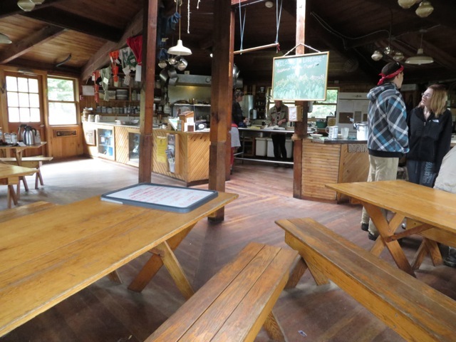
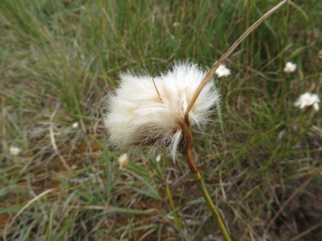
One of our favorite parts of the hike is to continue around the lake on the Around-Lonesome-Lake Trail clockwise from the hut. You travel through a beautiful bog. In the spring, there are blooms of laurel and blueberries. Today was just cotton grass. Along the way, there is a cutoff (actually the Lonesome Lake Trail again) that leads to the Kinsman Ridge Trail, one of three ways to get there.
Here’s an annotated Google Earth map of the hike:
Other posts that refer to this post:


