Greeley Ponds Trail
Saturday, 19-Dec-2015
Tags: Hiking / NH
This is not a trail guide. If you are planning to hike any of these trails refer to a real trail guide such as
(for the White Mountains) the
AMC White Mountain Guide.
We have visited the Greeley Ponds Scenic Area a number of times, both winter (on snowshoes) and summer, the previous time in 2012. With bare ground on December 19, we decided just to do a casual hike, and decided to head back to Greeley. The parking area with the trailhead is a sharp right (when heading east) just before the hairpin turn on the Kancamagus (Rt. 112). Although this hike was in December, we didn't tag it as a Winter hike since there was no snow on the ground.
The starting elevation around 2000 feet, with height of land around 2300 feet, with only small up and downs, so a pretty easy hike. It does have some challenges however — rocks, roots, and wetness — and this time, a surprisingly difficult water crossing (due to recent rains).
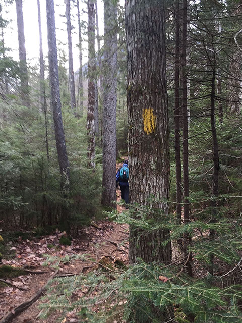
This is a yellow-blazed trail. Where is all the snow???
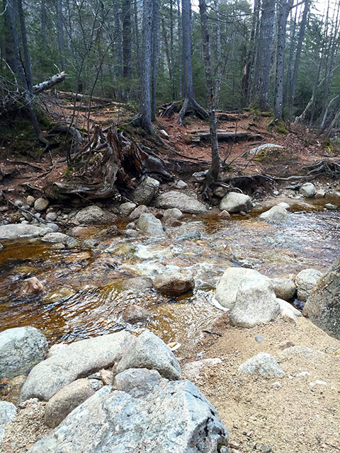
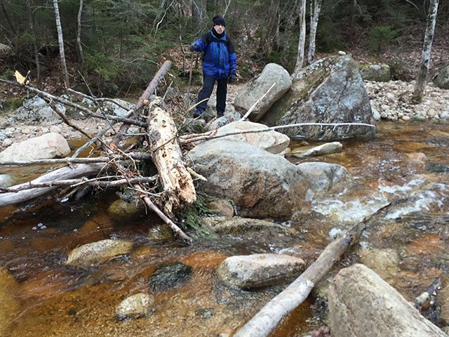
Hmm…Water hazard at .25 miles in at the North Fork of the Hancock Branch of the Mad River. With the recent rains, the stepping stones were mostly covered with water. Turn around or find another spot? We headed upstream, back and forth. Larry found a spot across, but Eileen panicked after the first step, and found a spot a little further upstream crossing on a combination of stones and log. (We came back that way — picture will be at the end.)
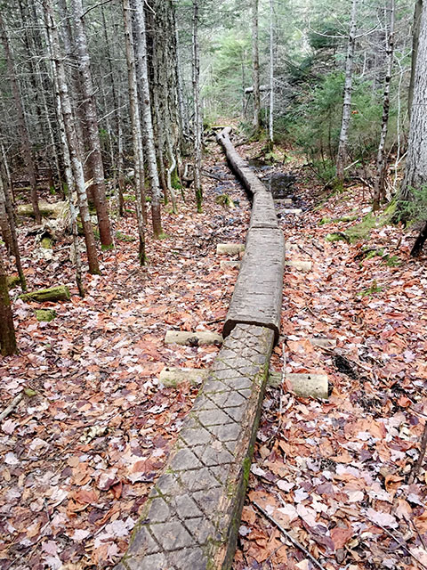
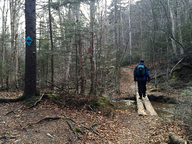
Once across, we bushwhacked back to the trail and continued. This path is quite wet in the early summer, so there were many sections with logs.
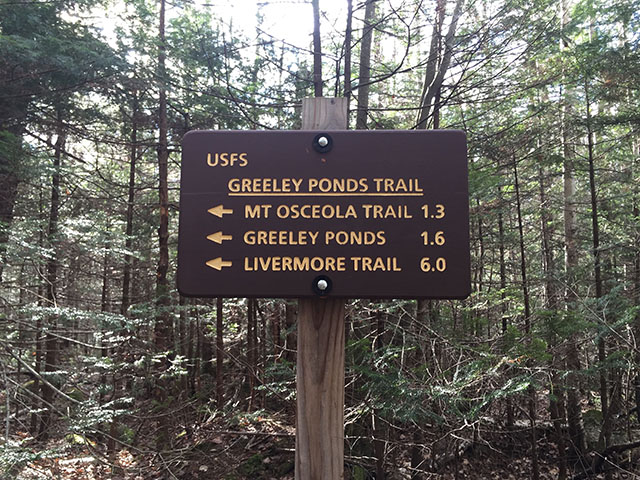
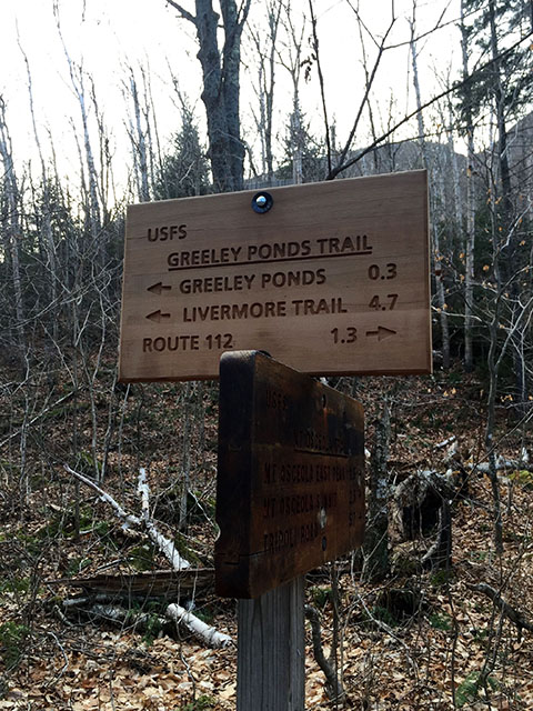
Junction with the Mt. Osceola Trail 1.3 miles in.
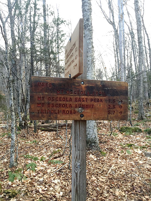
We continued on to the upper Greeley Pond.
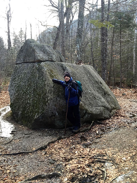
I guess this is a pretty frequently-photographed spot, with this large rock in the middle of the trail. Take your pick which side to go around.
More logs over the many small streams.
Our first glimpse of the upper pond. The trail rises above the bank along the west side of the pond.
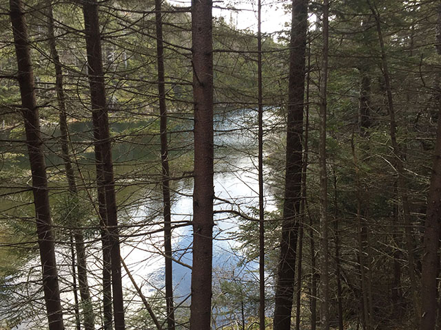
The view from the southern-most point of the upper pond, looking back north from whence we came.
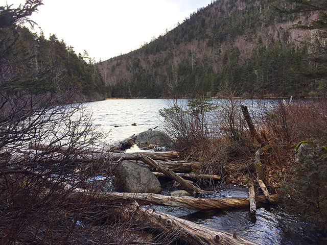
Looking northwest to the NE arm of East Osceola.
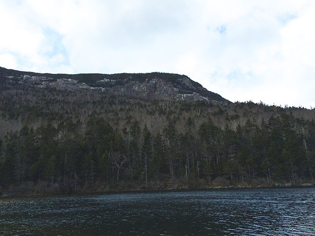
Hmm, the trail to the lower pond does not look so inviting.
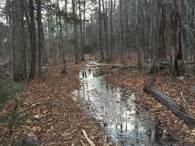
We opted to skip the walk, came back to the outlet on the ski trail (normally not for hikers, but…no snow), and instead crossed the outlet and explored the east side of the upper pond on an overgrown unnamed trail.
Years ago there was a shelter on the south-east corner of the pond, but in the late 1960s the Forest Service designated the ponds a Scenic Area (no camping, day use only) and removed the shelter.
The trail got progressively harder to follow and disappeared with us high over the pond. Rather than figure out how to bushwhack down safely, we headed back to the outlet on the south end, and took the Greeley Trail back home.
Pretty ice ribbons.

So this is the spot where I crossed going. I crossed on the return, and took this shot of Larry about to cross. This wasn’t so easy either, but we both crossed with no problem.
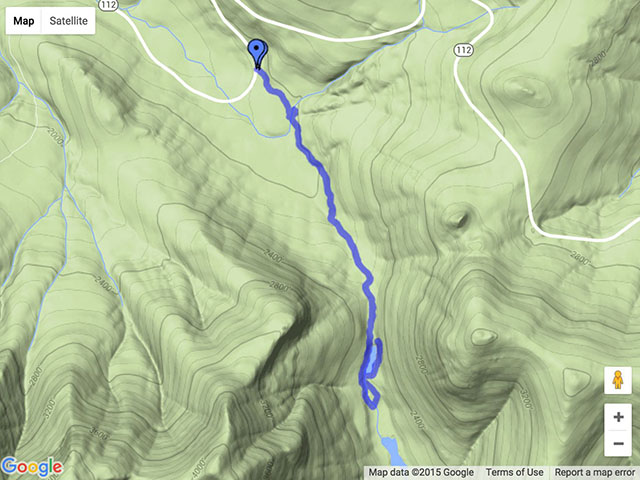
Here’s a topo map showing the hike. You can see our little exploration on the east side of the pond.
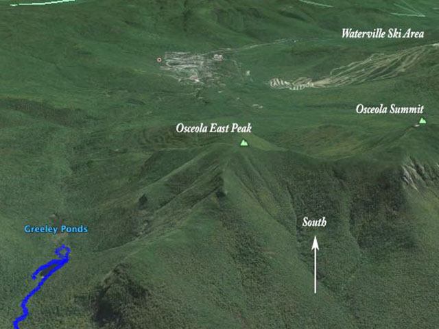
And a Google Earth shot, showing Osceola and Waterville.
We ended up walking about 4.17 miles in total, including our walking back and forth at the stream, and our exploration of the east side of the upper pond. This is normally considered a pretty easy hike, summer and winter. We couldn’t remember a time that the water was so high at that crossing, which added an element of difficulty.
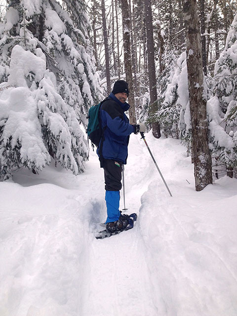
Just as a side note, here is our snowshoe hike from December 30, 2012 (before we started blogging) — even though we had a nice hike, it would have been nice to have snow like we are supposed to.
--
Larry and Eileen Samberg


