Greeley Ponds on Snowshoes
Saturday, 31-Dec-2016
Tags: NH / Hiking / Winter
This is not a trail guide. If you are planning to hike any of these trails refer to a real trail guide such as
(for the White Mountains) the
AMC White Mountain Guide.
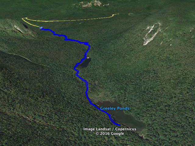
One of our favorite “nearby” winter (and summer) hikes is to Greeley Ponds. The Greeley Ponds trail leaves the south side of Kancamagus Highway (NH Rt. 112) seven to eight miles east of Loon Mountain just before the “hairpin” turn. There is a small parking area just off the road that can hold about 8 cars.
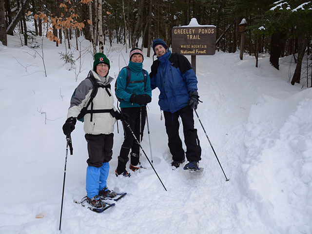
(Note that in winter there are both cross-country trails (blazed with blue diamonds and hiking/snowshoe trails blazed with yellow rectangles that criss-cross throughout the hike. The cross-country trail leaves the Kanc a few hundred yards west of the parking area and there is some shoulder space for parking near that trailhead).
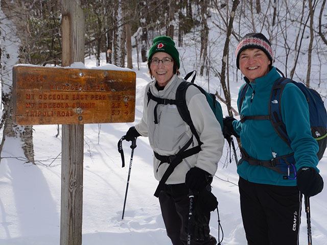
There are two Greeley Ponds, the smaller “upper” pond and the larger “lower” pond. The upper pond is about 1.6 miles from the road. The Mt. Osceola trail starts about 1.3 miles in. It diverges west and climbs the East Peak of Mt. Osceola and then continues to the main peak. Greeley Ponds Trail is not a “flat” hike, but the elevation change is fairly small. The trailhead is at about 1950 feet and the height of land is at roughly 2300 feet which is reached near the start of the Mt. Osceola trail.
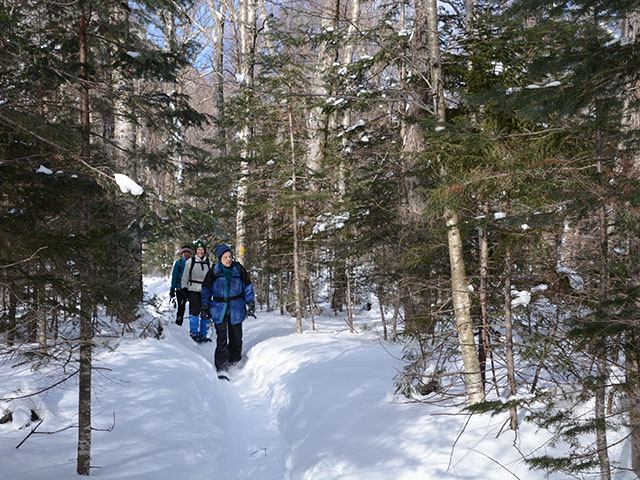
The trail is in the woods for the entire walk, with numerous small water crossings – on rocks for the small crossings and on stable logs for the longer crossings. The trail was well packed up to the Mt. Osceola Trail.
After the Osceola cutoff, the trail was less packed. We reached the north end of the upper pond and continued on.
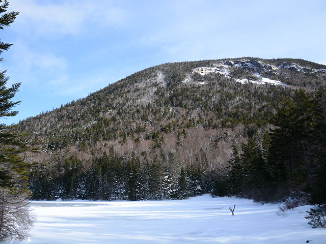
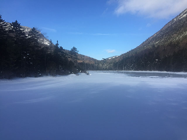
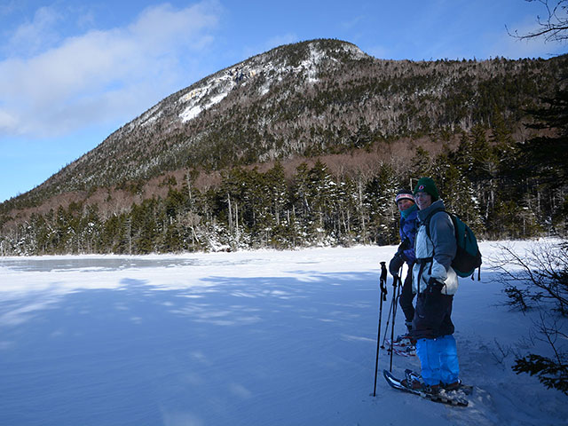
Here is a shot of Mt. Kancamagus from SW corner of Upper Pond.
The trail was lightly packed and in some places untracked from there to the lower pond. This made it very pleasant.
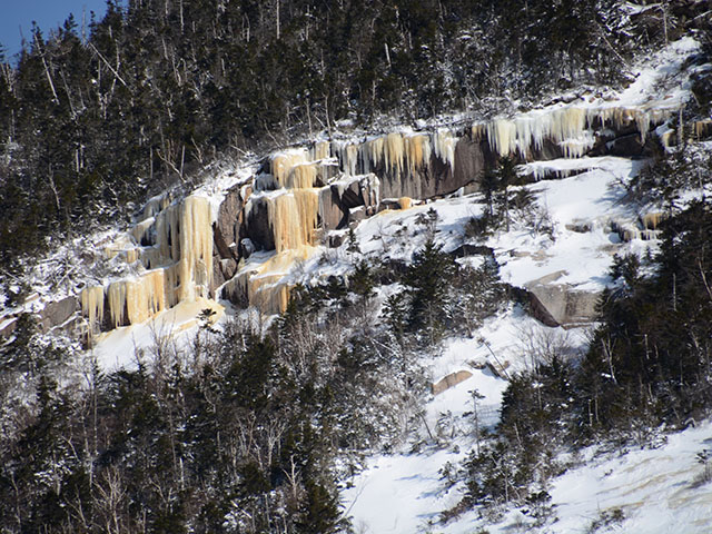
These ice formations were on the ledges of Mt. Kancamagus which is on the east side of the ponds.
Looking north from the south end of the upper pond (a piece of East Osceola on the left, a piece of Mt. Kancamagus on the right, and a small piece of Mt. Huntington straight ahead).
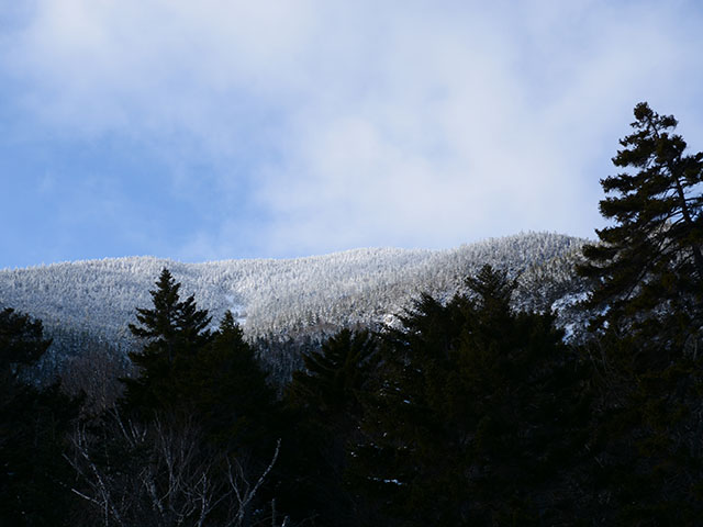
This is looking up towards Mt. Osceola.
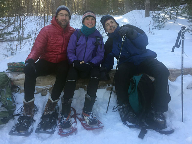
About ⅔ of the way down the lower (larger) pond we wandered into the woods at a place where the pond came up to the trail. This was about 2.1 miles from the road. And the location happened to have the perfect log for us to sit and each lunch.
This is looking back northeast from that point towards Mt. Kancamagus.
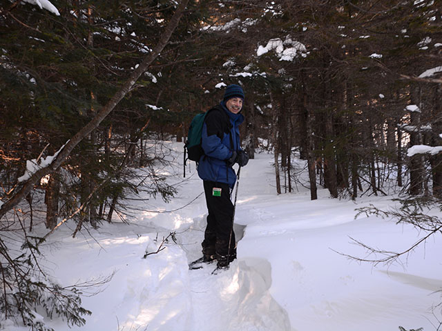
Heading back now, this picture shows the snow depth down near the lower pond.
The full trip down and back was about 4.2 miles and took us about 3:15 including lunch.
Other posts that refer to this post: